Put-in
ID
Deer Creek Ramp
Save this feature with the run it belongs to.
Gauge Conditions
Data from American Whitewater & USGS
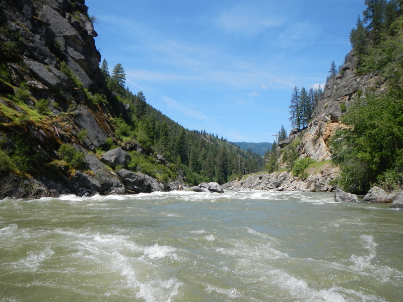
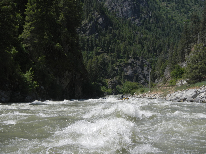
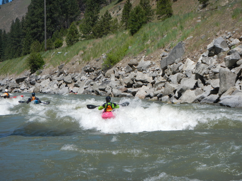
Photo
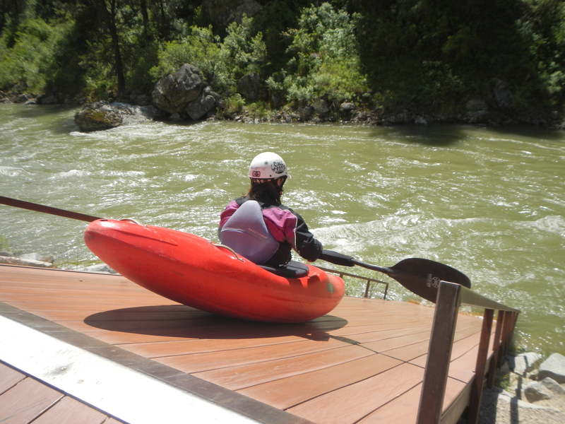
Photo courtesy of American Whitewater
Description
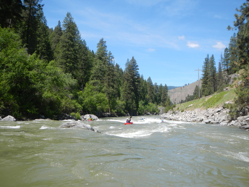
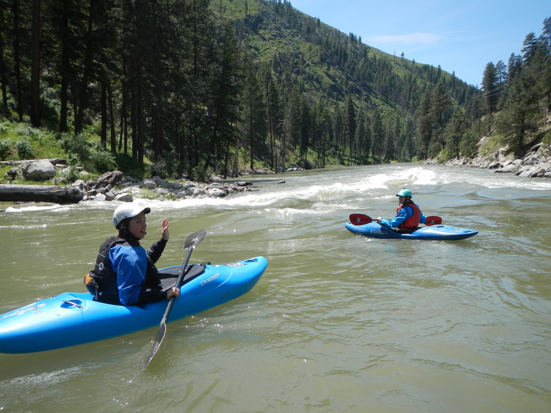
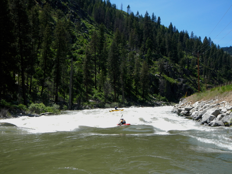
The typical access point is Deer Creek Ramp, at mile 4.5 on the Banks-Lowman Road. At most flows the Deer Creek ramp is a super fun seal launch. Just don't put your hands down while sliding, you'll get terrible splinters. At low flows there are exposed rocks at the bottom that can break your boat, if you can see them, then likely the flow is too low to use the ramp. If the ramp needs to be bypassed, there are stairs that can be used to climb down to the water with some flatish rocks to launch off of.
Location
View Full Run
4 - Deer Creek Ramp to Banks
Payette, S. Fork
IV
4.8 mi
Current Conditions
5-Day Forecast
Whitewater data from
American Whitewater
American Whitewater