Staircase
Save this feature with the run it belongs to.
Gauge Conditions
Photo
Description
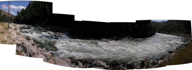
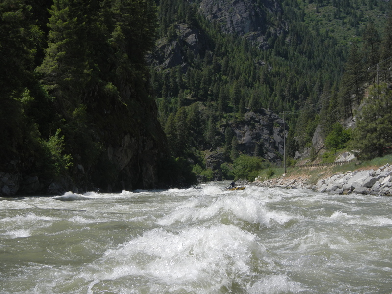
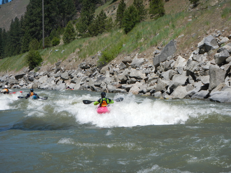
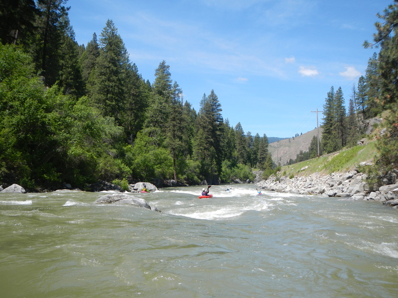
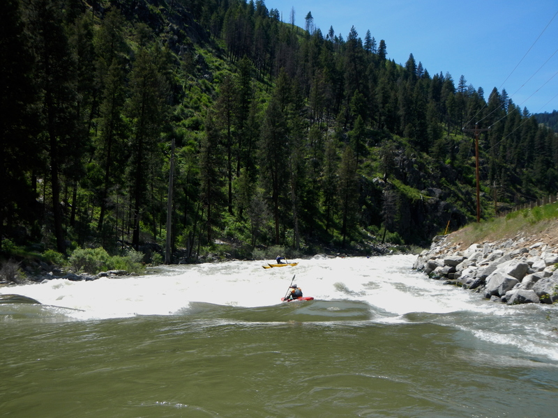
Staircase is a challenging rapid with a very long swim if things go wrong. There are multiple different lines that can be scouted from a large pull-out at mile 2.3 along the Banks-Lowman Road. From the top of the rapid to the run out is about 1/3 of a mile.
While bank scouting Staircase, take note of the large entrance rock left of center, which is called Whale rock. There is another round boulder right-of-center that forms an eddy in the middle of the rapid called the "Duck Pond," most kayakers try to catch this eddy on the way down. A good line can generally be found down the middle between Whale rock and the Duck-Pond-Boulder. Entering the rapid just to the left of the Duck-Pond-Boulder and going down the center will position you the best for both catching the Duck Pond and missing the upcoming holes. 50 yards below Duck Pond, is a sweeping bend to the river, called Carnage Corner, right before this bend is a big hit with holes and/or waves depending on the flow. Holes here are not super retentive, but if it can get sticky if you founder in sideways or upside down, so this is a common spot for boaters to swim. At low flows (800ish and down) Carnage Corner can form rocky ledges that are a good idea to scout from the bank. Below Carnage Corner the river flatens out for a ways, but the water is still fast and churny so it's still near impossible to clean up a swimmer. There is one last class fun wave-hit/drop at the bottom before the river mellows.
There are other lines to the left of Whale Rock that are common for kayakers to take. However, below Whale Rock's eddy there are some rocks that can be dangerous. They like to catch wood, many rafts have wrapped on a rock left-of-center, and there is also a sieve rock on river left that is known to have drowned a raft guide years ago.
Location
Current Conditions
5-Day Forecast
American Whitewater