Dogleg
Save this feature with the run it belongs to.
Gauge Conditions
Data from American Whitewater & USGS
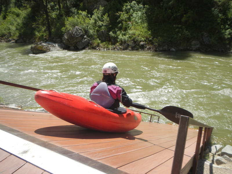
Photo
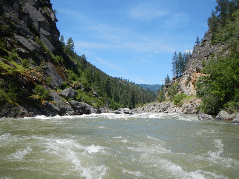
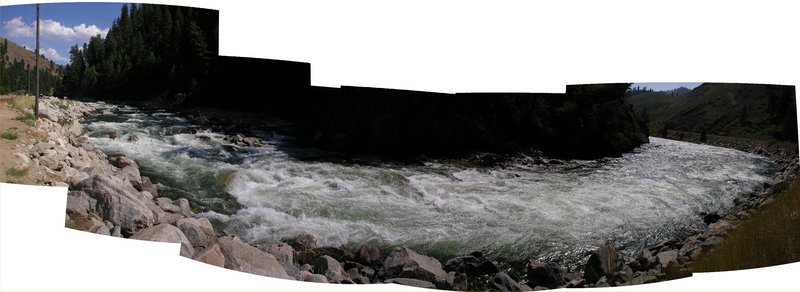
Photo courtesy of American Whitewater
Description
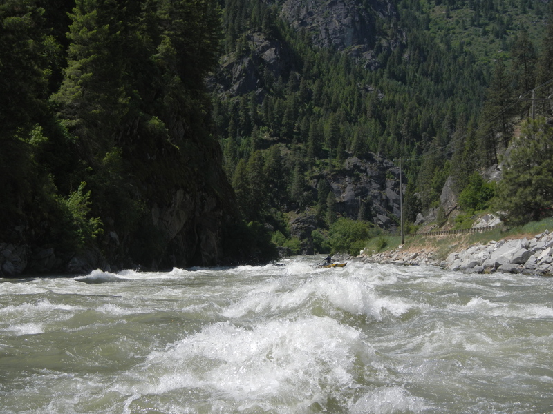
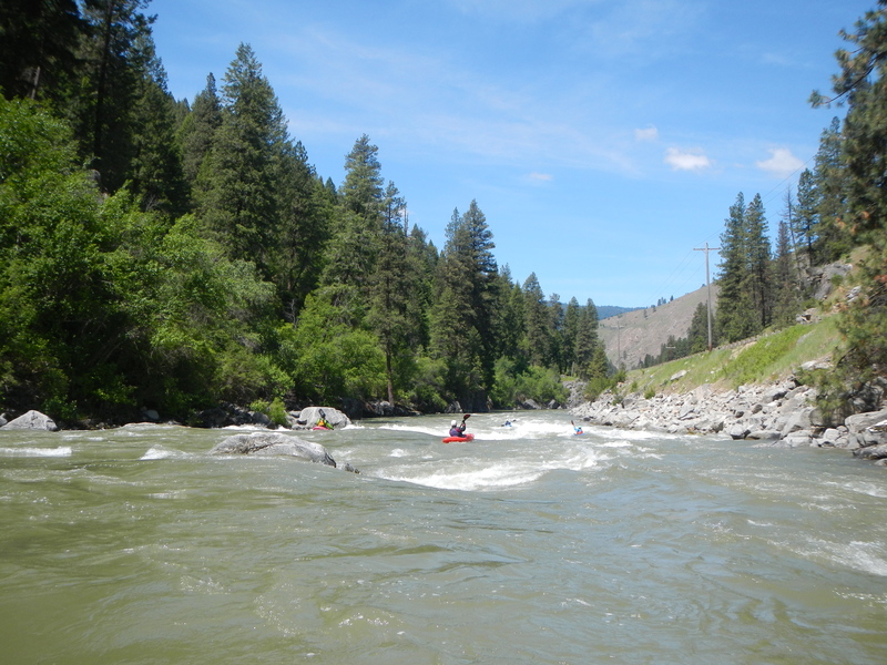
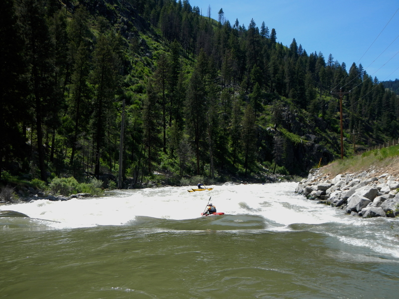
A few years back, a warning sign was posted by the Forest Service calling the rapid with the huge log in it "Dogleg." The sign is long gone, but the name remains. A large midstream boulder towards river left separates the river into a river left slot and a wide open line down the right. More often than not, there are logs jammed into the river left slot; forming strainers. So when in doubt, go right. This rapid is visible from the road when looking upriver.
At low flows (800ish), this turns into one of the most interesting features on the run. The river right channel turns into a series of little drops and sharp turns. Lots of shooting green tongues between rocks.
At low flows (800ish), this turns into one of the most interesting features on the run. The river right channel turns into a series of little drops and sharp turns. Lots of shooting green tongues between rocks.
Location
View Full Run
4 - Deer Creek Ramp to Banks
Payette, S. Fork
IV
4.8 mi
Hazard — Exercise extreme caution in this area.
Current Conditions
5-Day Forecast
Whitewater data from
American Whitewater
American Whitewater