Levings Dam: ~14 sq.mi.
Save this feature with the run it belongs to.
Gauge Conditions
Almost assuredly too low. (Likely under 50 cfs.) Visual confirmation is required.
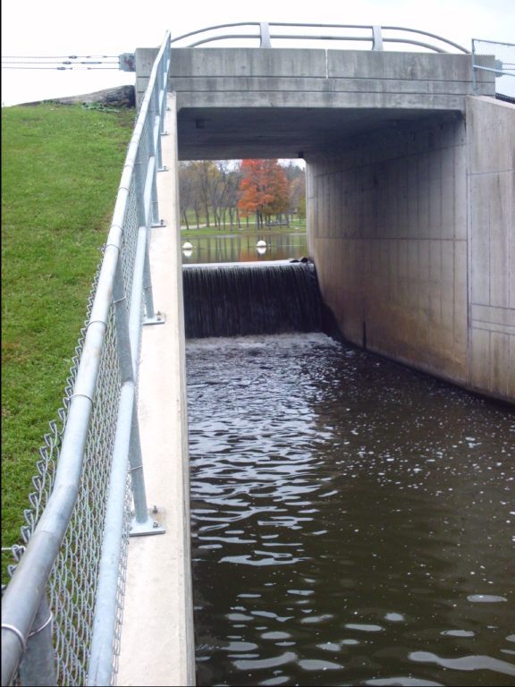
Photo
Description
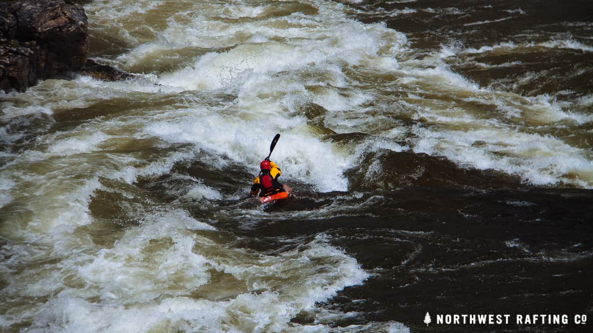
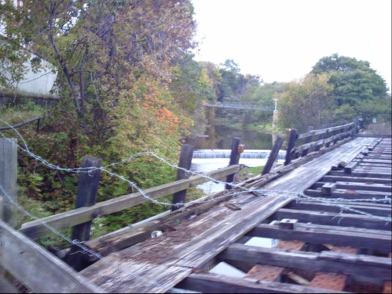
Coming out of Levings Lake, the stream passes over a dam. There are no obstructions (other than the marker buoys in the lake) impeding passage over the brink. At higher flows I expect there would be thundering chaos at the base of this, as it is under the parkway road where the sound will echo off the cement box culvert you are in. You would have to VERY carefully assess the situation (as to 'keepiness' of the hole at the base, and your likelihood to clear any backwash) before deciding if you should run this. If there is any doubt, you should carry down the embankment and put it below the dam.
Best I can tell, drainage area above this point appears to be on the order of 14 square miles, substantiating that this is a fairly small creek which will run only brief periods of peak runoff (snowmelt or heavy rains).
Location
Current Conditions
5-Day Forecast
American Whitewater