Railroad Rips
Save this feature with the run it belongs to.
Gauge Conditions
Runnable: 34.0 – 200.0 CFS
Almost assuredly too low. (Likely under 50 cfs.) Visual confirmation is required.
Data from American Whitewater & USGS
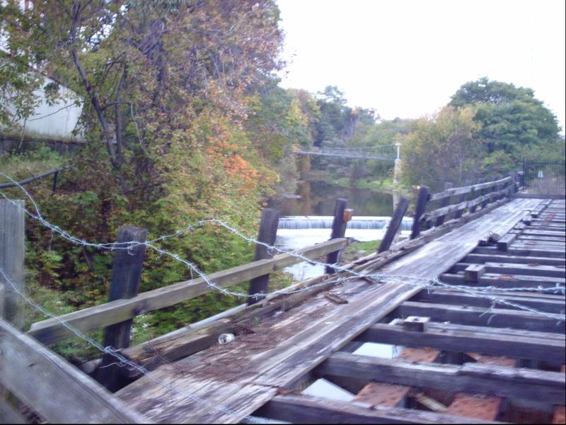
Photo
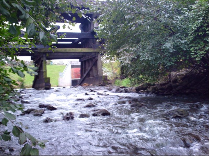
Photo courtesy of American Whitewater
Description
Immediately downstream of the put-in, the creek passes under a railroad trestle (a criss-cross wooden beam affair, with more than adequate clearance) and trips down a very short rocky pitch. At paddleable flows, virtually all rocks should be covered, and this will probably be little more than exciting splish-splash to start off the run. It is possible some minor play may be possible as the gradient encounters a fair size/depth pool (for this little creek) before winding its way downstream.
Location
Interactive river map
Loads as you approach this section.

View Full Run
Levings Lake to Rock River (2.37 miles)
Kent Creek, S.Fk.
II(III)
2.5 mi
Current Conditions
5-Day Forecast
Whitewater data from
American Whitewater
American Whitewater