Rapid
IL
Weir #2
Save this feature with the run it belongs to.
Gauge Conditions
Runnable: 34.0 – 200.0 CFS
Almost assuredly too low. (Likely under 50 cfs.) Visual confirmation is required.
Data from American Whitewater & USGS
Photo
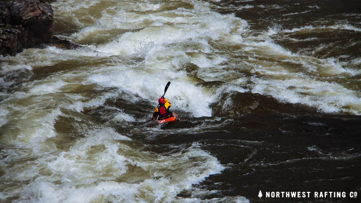
Photo courtesy of American Whitewater
Description
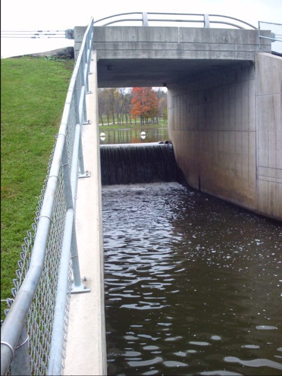
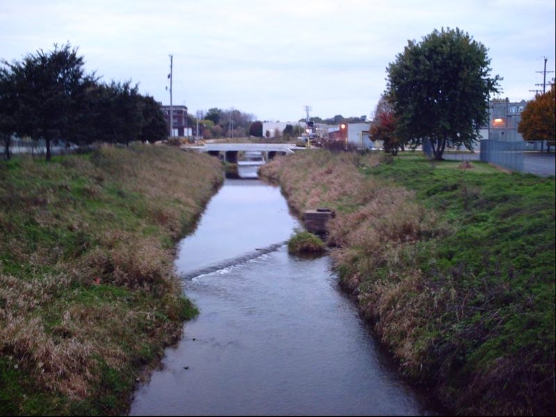
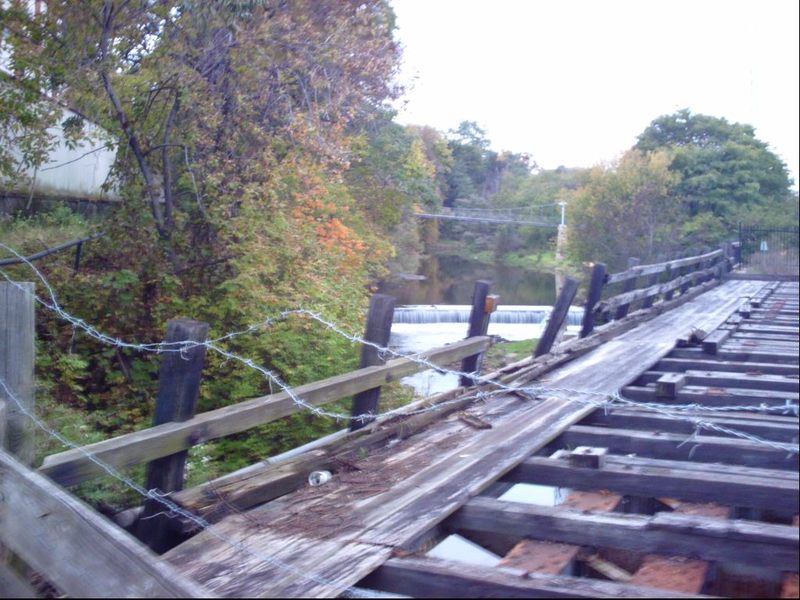
Weir #2 is a low-head dam structure that creates a uniform, potentially dangerous hydraulic with a consistent recirculating hole across its entire width. Paddlers should avoid this feature entirely, as the uniform hydraulic can trap boats and swimmers, making escape difficult or impossible. Portage is recommended on river right or left, depending on local access and water levels.
Location
Interactive river map
Loads as you approach this section.
View Full Run
Levings Lake to Rock River (2.37 miles)
Kent Creek, S.Fk.
II(III)
2.5 mi
Current Conditions
5-Day Forecast
Whitewater data from
American Whitewater
American Whitewater