Trestle Trips
Save this feature with the run it belongs to.
Gauge Conditions
Runnable: 34.0 – 200.0 CFS
Almost assuredly too low. (Likely under 50 cfs.) Visual confirmation is required.
Data from American Whitewater & USGS
Photo
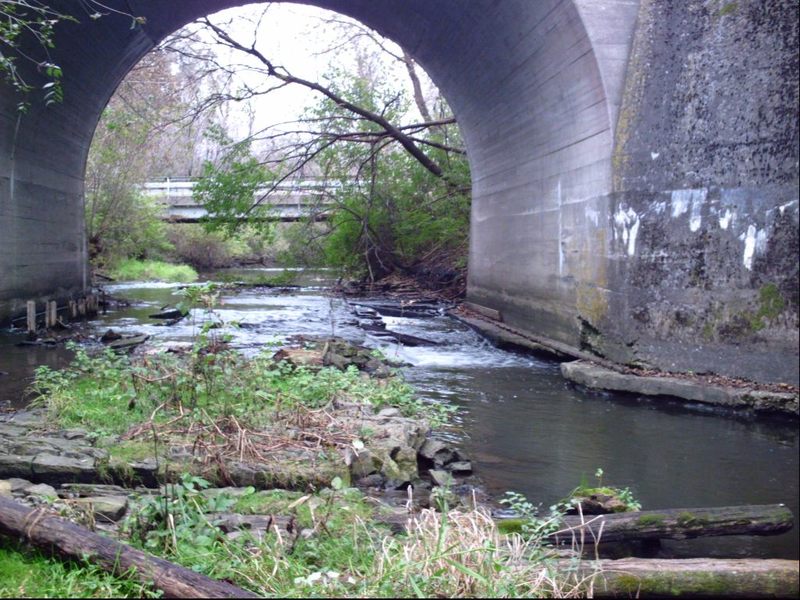
Photo courtesy of American Whitewater
Description
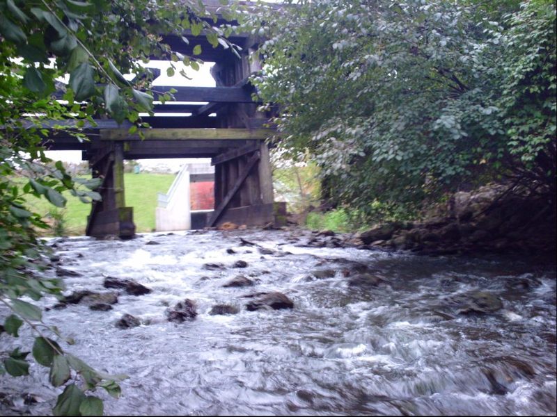
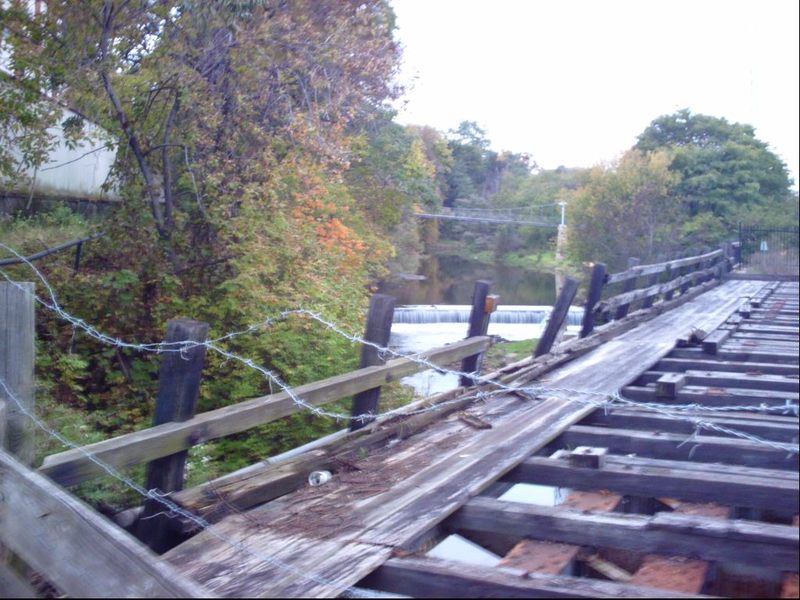
Immediately after passing under Cunningham Road the creek passes through the supports of a defunct rail line bridge. Beneath this bridge, the streambed has an unusual array of rock and timber armament. Tight to the left under the bridge, flow will fall off (probably rather chaotically) into a slightly deeper channel, before tripping down into a pool below.
WARNING: There are big timbers in the outflow (which will be well submerged at any boatable flow) that would be very problematic if you flip or swim here.
Location
Interactive river map
Loads as you approach this section.
View Full Run
Levings Lake to Rock River (2.37 miles)
Kent Creek, S.Fk.
II(III)
2.5 mi
Current Conditions
5-Day Forecast
Whitewater data from
American Whitewater
American Whitewater