Rail Station Ledge
Save this feature with the run it belongs to.
Gauge Conditions
Runnable: 34.0 – 200.0 CFS
Almost assuredly too low. (Likely under 50 cfs.) Visual confirmation is required.
Data from American Whitewater & USGS
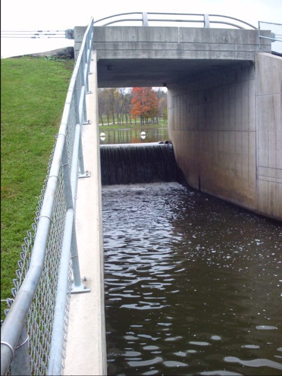
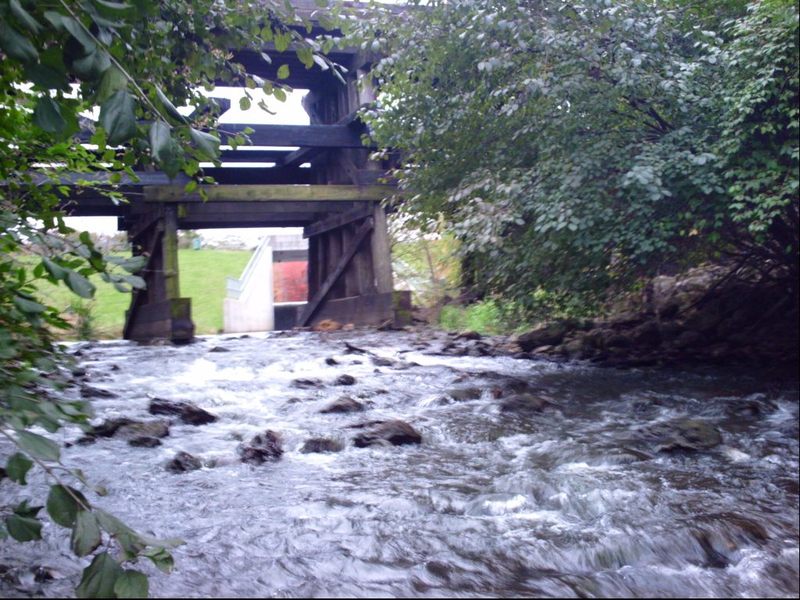
Photo
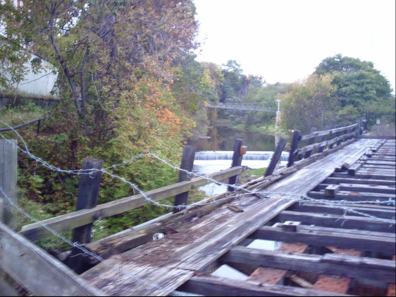
Photo courtesy of American Whitewater
Description
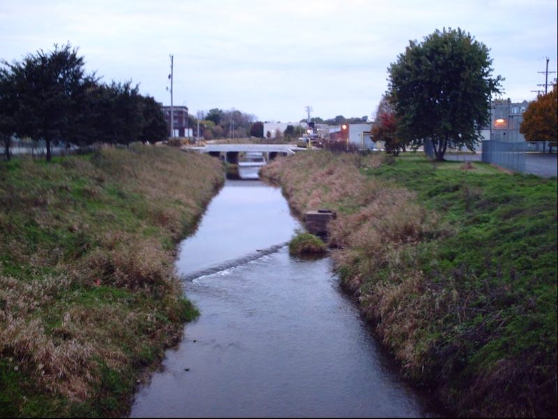
This ledge (not certain if natural or man made, since close-up inspection is not convenient -- the whole area is fenced and posted no parking, no trespassing) is almost certainly sufficient to cause some whitewater action (or concern) at boatable flows. That is, unless the flows in the Rock River (not far downstream) are sufficiently high as to 'back-up' this far upstream and thus swallow up this ledge. Since this is such a uniform pour-over, it seems likely that it could (at times) have quite a 'roller' at its base which could either make for play or panic (danger).
Location
Interactive river map
Loads as you approach this section.
View Full Run
Levings Lake to Rock River (2.37 miles)
Kent Creek, S.Fk.
II(III)
2.5 mi
Hazard — Exercise extreme caution in this area.
Current Conditions
5-Day Forecast
Whitewater data from
American Whitewater
American Whitewater