Playspot
WI
Little Ender Spot (LES)
Save this feature with the run it belongs to.
Gauge Conditions
Runnable: 125.0 – 3,000.0 CFS
Float trip with (grungy) riffles and rips.
Data from American Whitewater & USGS
Photo
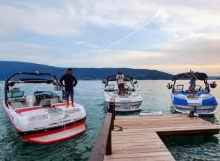
Photo courtesy of American Whitewater
Description
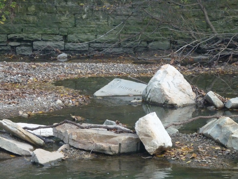
Just a short ways downstream from Hawley Road, look for an eddy at river-left. A crease and a wave here can allow some surfs and enders. Best flows are likely ~500-1000 cfs. Depth is generally adequate for short (6' +/-) playboats to go vertical, while 7' or longer boats will likely tag bottom on going full vertical. The eddy should allow easy repeat play before proceeding to next features.
*** This is MIA (Missing In Action) during the construction. We'll have to see if it returns once the construction project is complete.
Location
Interactive river map
Loads as you approach this section.
Other Rapids on This Run (20)
Rapid
N/A
NOTICE!
Rapid
N/A
Alternate Put-in: Red Store Lot
 Hazard
N/A
Hazard
N/A
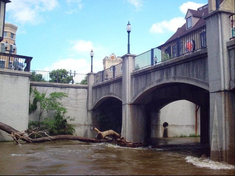
Pedestrian Bridge (Tosa Plaza)
Rapid
N/A
**Put-in: Hart Park**
Rapid
N/A
Alternate Put-in #2: Tosa Farmers Market lot
 Rapid
II
Rapid
II
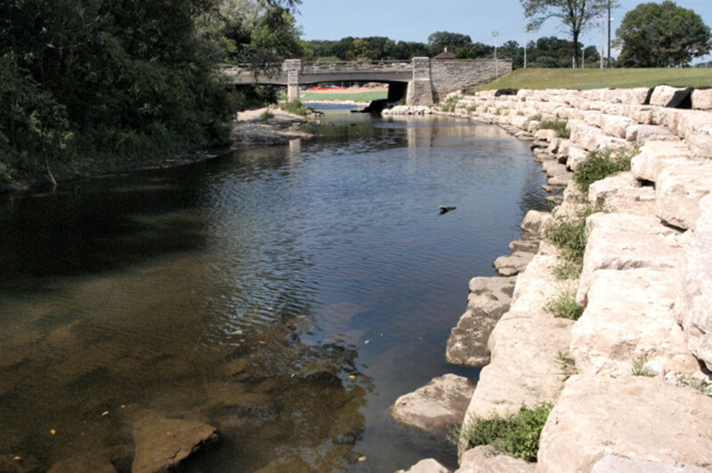
Hart Park Rips (HPR)
 Playspot
I
Playspot
I
Bikeway Bridge (Hart Park)
 Playspot
I
Playspot
I
Confluence with Honey Creek (10.3 sq.mi.)
Rapid
N/A
USGS Gauge: 123 sq.mi.
Rapid
N/A
Parkway Access
 Hazard
II+
Hazard
II+
Jacobus Bridge Pier (JBP)
Rapid
N/A
Cleft-Rock
 Playspot
II
Playspot
II
Trenton Waves
 Playspot
II+
Playspot
II+
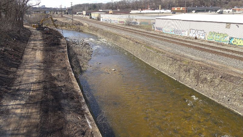
Hawley-Wood Hole (HWH)
 Playspot
II
Playspot
II
Doyne Park Waves (DPW)
Rapid
N/A
Slabs
 Playspot
II
Playspot
II
Zig Zag Wall Wave
 Hazard
II
Hazard
II
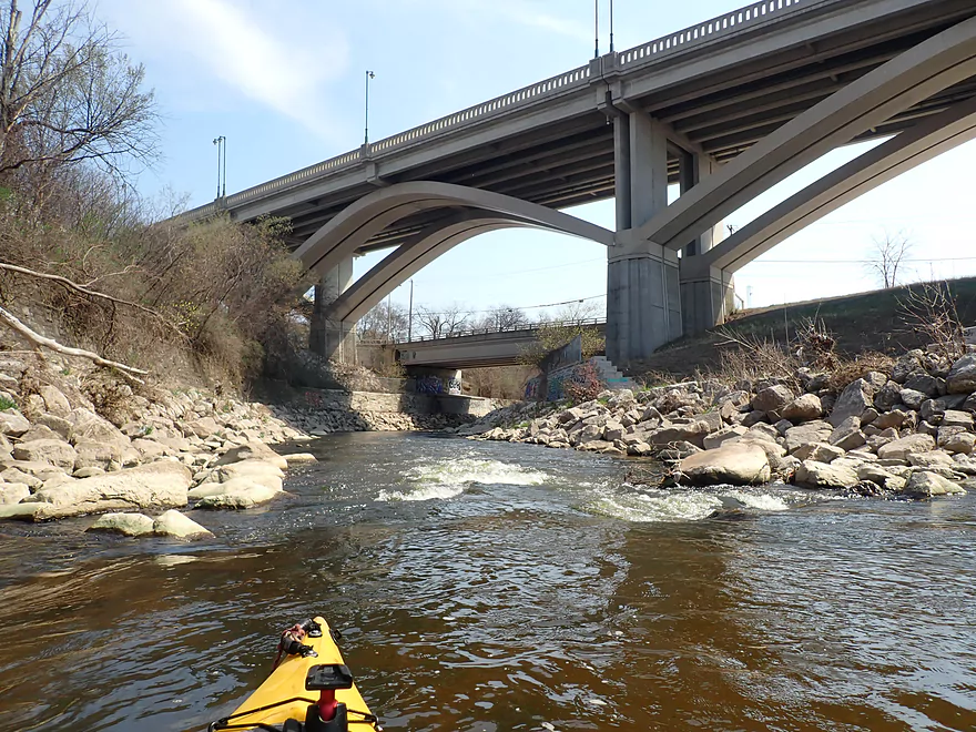
Railroad Rips (RRR)
 Playspot
II
Playspot
II
Remediation Rips
Rapid
N/A
W.Monarch Place / N.43rd Street: Drainage area: ~133 sq.mi.
View Full Run
C) MenTosa: Hart Park Lane to W.Monarch Place or 4198 W.St.Paul Avenue (2.7 or 3.7 miles)
Menomonee
II-III
3.7 mi
Current Conditions
5-Day Forecast
Whitewater data from
American Whitewater
American Whitewater