Rapid
WI
USGS Gauge: 123 sq.mi.
Save this feature with the run it belongs to.
Gauge Conditions
Runnable: 125.0 – 3,000.0 CFS
Float trip with (grungy) riffles and rips.
Data from American Whitewater & USGS
Description
With the gauge being right on the section, it will VERY accurately reflect actual flows in the remainder of this section. (Since Honey Creek enters not far upstream of the gauge, that would have to be subtracted out to represent flow on the earlier section of the run.)
Keep in mind that USGS flows are posted (at most) once per hour, and flows are 20-30 minutes old by the time they are posted.
While there are times (in spring) when flow can remain fairly steady for 24-hours or more, most often this river is VERY flashy (after significant rain).
So, no matter what the gauge says, the actual flow will have changed by the time you are on it!
Location
Interactive river map
Loads as you approach this section.
Other Rapids on This Run (20)
Rapid
N/A
NOTICE!
Rapid
N/A
Alternate Put-in: Red Store Lot
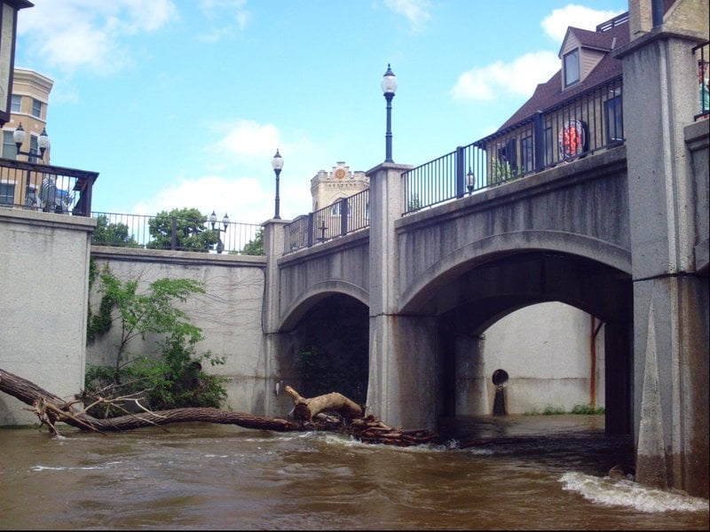 Hazard
N/A
Hazard
N/A
Pedestrian Bridge (Tosa Plaza)
Rapid
N/A
**Put-in: Hart Park**
Rapid
N/A
Alternate Put-in #2: Tosa Farmers Market lot
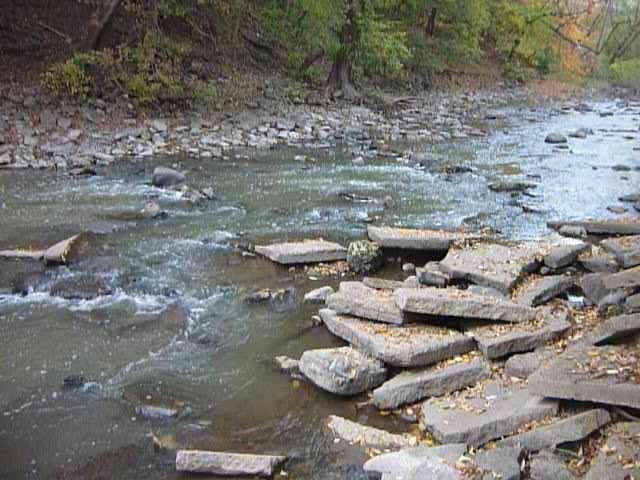 Rapid
II
Rapid
II
Hart Park Rips (HPR)
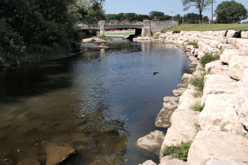 Playspot
I
Playspot
I
Bikeway Bridge (Hart Park)
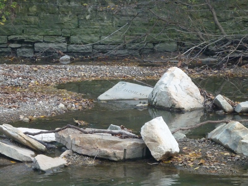 Playspot
I
Playspot
I
Confluence with Honey Creek (10.3 sq.mi.)
Rapid
N/A
Parkway Access
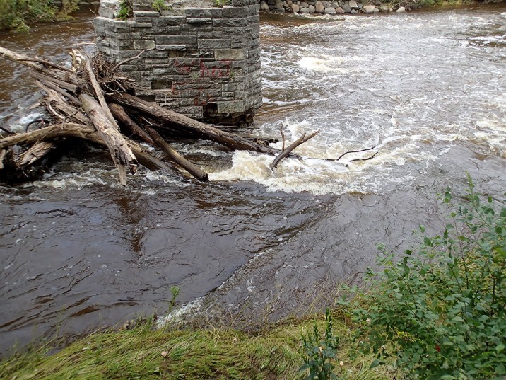 Hazard
II+
Hazard
II+
Jacobus Bridge Pier (JBP)
Rapid
N/A
Cleft-Rock
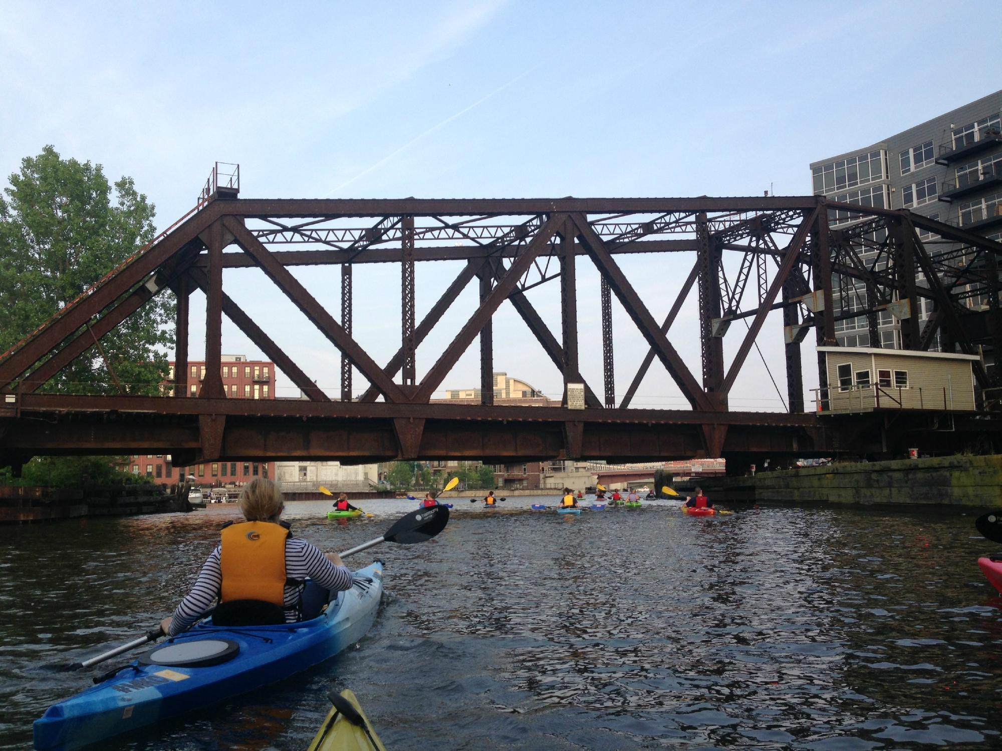 Playspot
II
Playspot
II
Trenton Waves
 Playspot
II+
Playspot
II+
Hawley-Wood Hole (HWH)
 Playspot
N/A
Playspot
N/A
Little Ender Spot (LES)
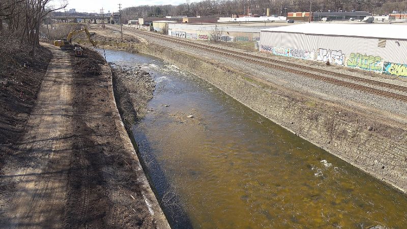 Playspot
II
Playspot
II
Doyne Park Waves (DPW)
Rapid
N/A
Slabs
 Playspot
II
Playspot
II
Zig Zag Wall Wave
 Hazard
II
Hazard
II
Railroad Rips (RRR)
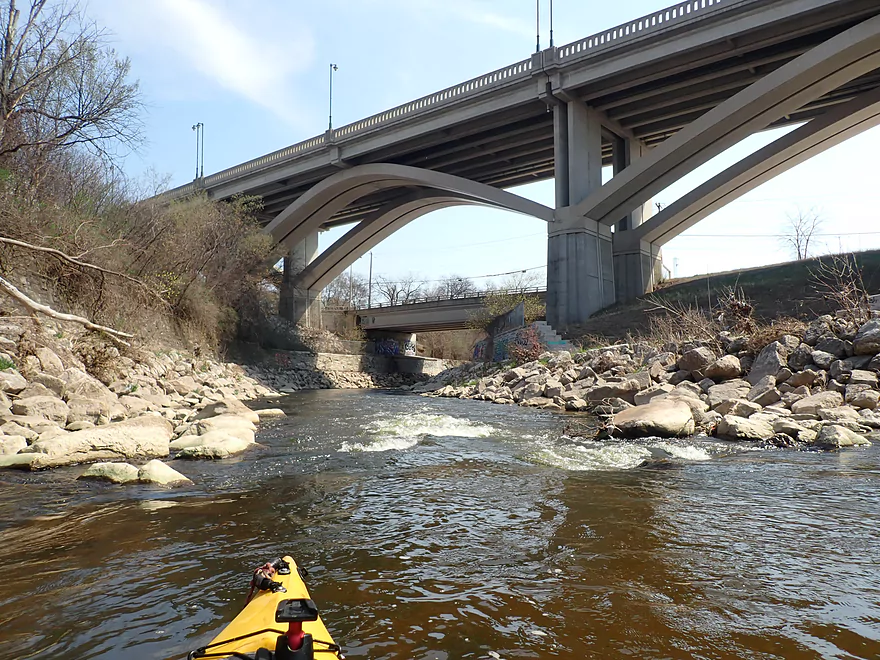 Playspot
II
Playspot
II
Remediation Rips
Rapid
N/A
W.Monarch Place / N.43rd Street: Drainage area: ~133 sq.mi.
View Full Run
C) MenTosa: Hart Park Lane to W.Monarch Place or 4198 W.St.Paul Avenue (2.7 or 3.7 miles)
Menomonee
II-III
3.7 mi
Current Conditions
5-Day Forecast
Whitewater data from
American Whitewater
American Whitewater