Remediation Rips
Save this feature with the run it belongs to.
Gauge Conditions
Runnable: 125.0 – 3,000.0 CFS
Float trip with (grungy) riffles and rips.
Data from American Whitewater & USGS
Photo
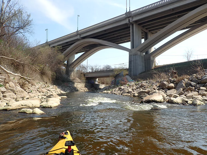
Photo courtesy of American Whitewater
Description
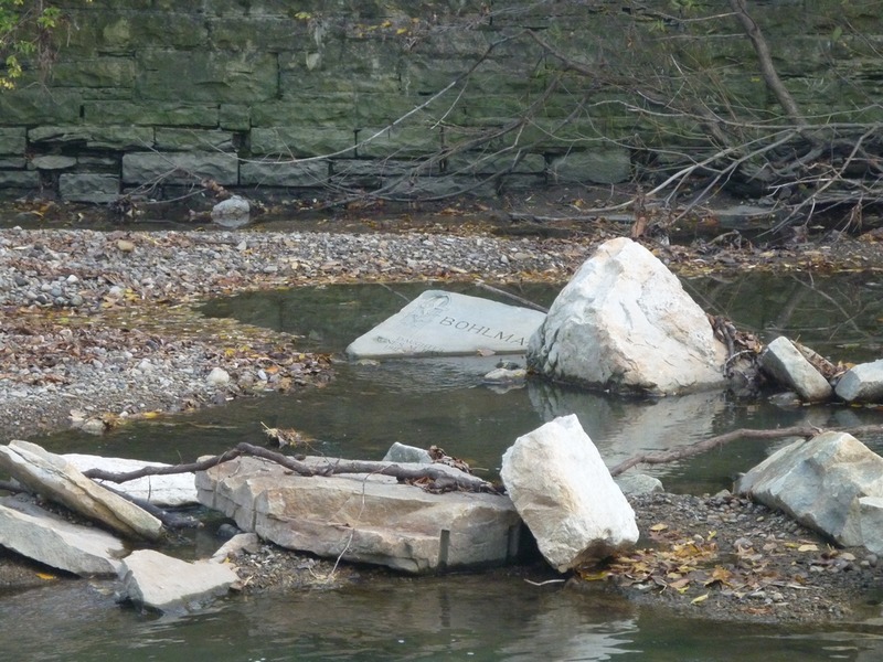
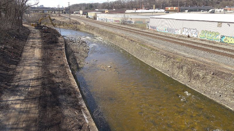
As you pass under the 45th Street Bridge, you encounter an area of 'remediated' streambed. Wall-to-wall cement has been removed and large quarried rock lines the river bed and banks. This creates a swift but minor choppy rips. Anyone so unfortunate as to flip or swim here is likely to be punished by multiple impacts with shallow quarried rock in very swift currents.
Do not try to stand in any strong flow, as foot entrapment, bruises, broken bones, and worse are a serious possibility. (If you don't know what 'foot entrapment' means, and the serious danger that it represents, please do yourself a favor and do some research on it.)
Location
Interactive river map
Loads as you approach this section.
Other Rapids on This Run (20)
Rapid
N/A
NOTICE!
Rapid
N/A
Alternate Put-in: Red Store Lot
 Hazard
N/A
Hazard
N/A
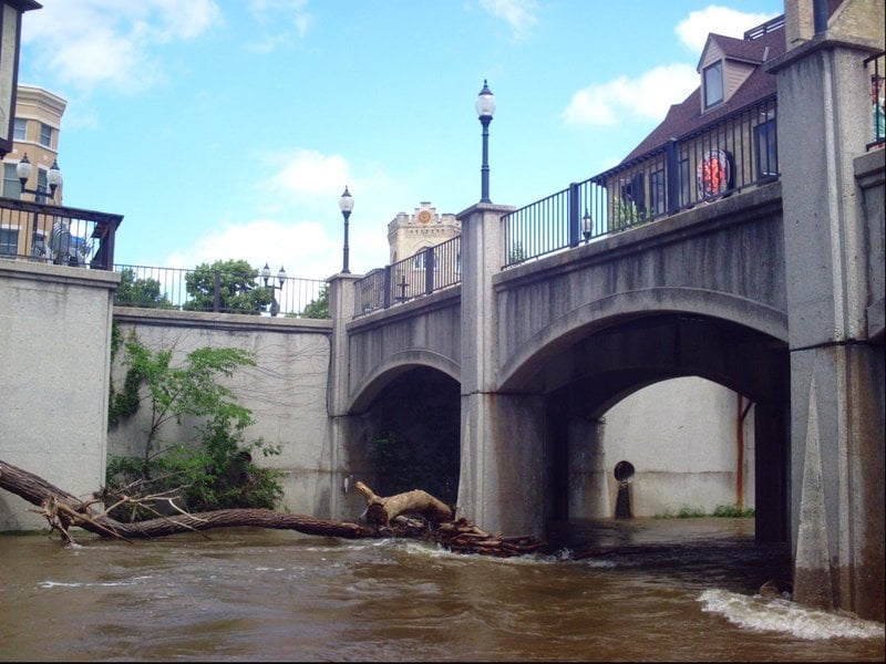
Pedestrian Bridge (Tosa Plaza)
Rapid
N/A
**Put-in: Hart Park**
Rapid
N/A
Alternate Put-in #2: Tosa Farmers Market lot
 Rapid
II
Rapid
II
Hart Park Rips (HPR)
 Playspot
I
Playspot
I
Bikeway Bridge (Hart Park)
 Playspot
I
Playspot
I
Confluence with Honey Creek (10.3 sq.mi.)
Rapid
N/A
USGS Gauge: 123 sq.mi.
Rapid
N/A
Parkway Access
 Hazard
II+
Hazard
II+
Jacobus Bridge Pier (JBP)
Rapid
N/A
Cleft-Rock
 Playspot
II
Playspot
II
Trenton Waves
 Playspot
II+
Playspot
II+
Hawley-Wood Hole (HWH)
 Playspot
N/A
Playspot
N/A
Little Ender Spot (LES)
 Playspot
II
Playspot
II
Doyne Park Waves (DPW)
Rapid
N/A
Slabs
 Playspot
II
Playspot
II
Zig Zag Wall Wave
 Hazard
II
Hazard
II
Railroad Rips (RRR)
Rapid
N/A
W.Monarch Place / N.43rd Street: Drainage area: ~133 sq.mi.
View Full Run
C) MenTosa: Hart Park Lane to W.Monarch Place or 4198 W.St.Paul Avenue (2.7 or 3.7 miles)
Menomonee
II-III
3.7 mi
Current Conditions
5-Day Forecast
Whitewater data from
American Whitewater
American Whitewater