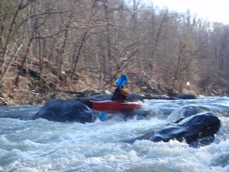
Mike's Peril
Save this feature with the run it belongs to.
Gauge Conditions
The upper limit is a rough guess, based on historical data for this gauge. If you have better beta, please add a comment.
Photo
Description
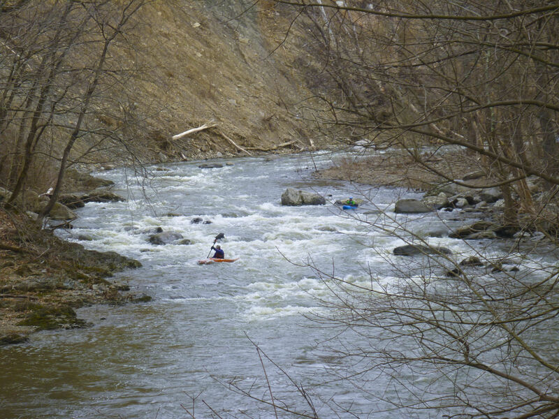
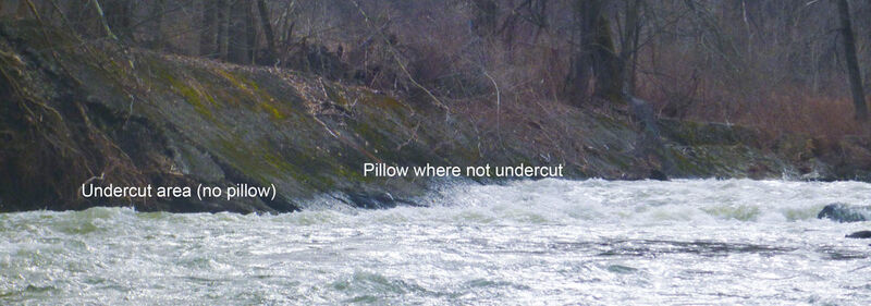
Another island. Right is a drop and left turn into a rocky, forested near cliff of 20' or so. More water goes right which turns right and water pushes up against a big rock that tends to collect wood. Shouldn't have to say that if it doesn't look good get out. At high water the island will be inundated and you'll want to scout /portage on right. Several Mike's have had trouble here. 1 liked to swim it. Another got stuck against wood. Do we need to remind you that wood is the biggest hazard on a river like this and if you aren't feeling good about the wood you should get out and scout or walk? Left is narrower and more likely to be completely blocked. 2021 update. Lots of water going thru strainers between big rock and left bank. Anyone getting this far should have the skills to avoid but...
Location
Other Rapids on This Run (14)
 Rapid
N/A
Rapid
N/A
 Rapid
N/A
Rapid
N/A
 Hazard
II+
Hazard
II+
 Rapid
III
Rapid
III
 Hazard
IV
Hazard
IV
 Waterfall
II+
Waterfall
II+
 Hazard
III
Hazard
III
 Hazard
III
Hazard
III
 Rapid
III
Rapid
III
 Rapid
II
Rapid
II
 Rapid
II
Rapid
II
Current Conditions
5-Day Forecast
American Whitewater