Root Ball
Save this feature with the run it belongs to.
Gauge Conditions
Runnable: 280.0 – 5,000.0 CFS
The upper limit is a rough guess, based on historical data for this gauge. If you have better beta, please add a comment.
Data from American Whitewater & USGS
Photo
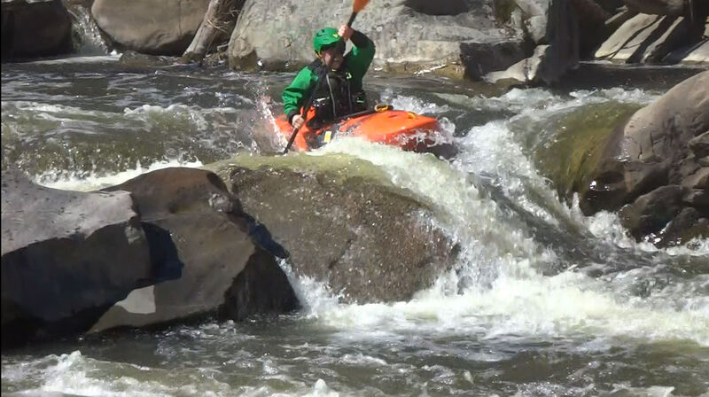
Photo courtesy of American Whitewater
Description
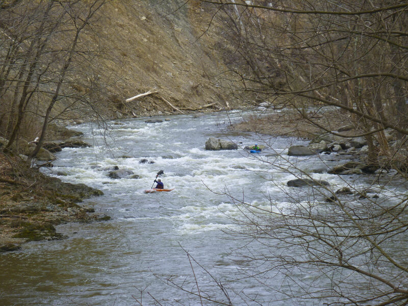
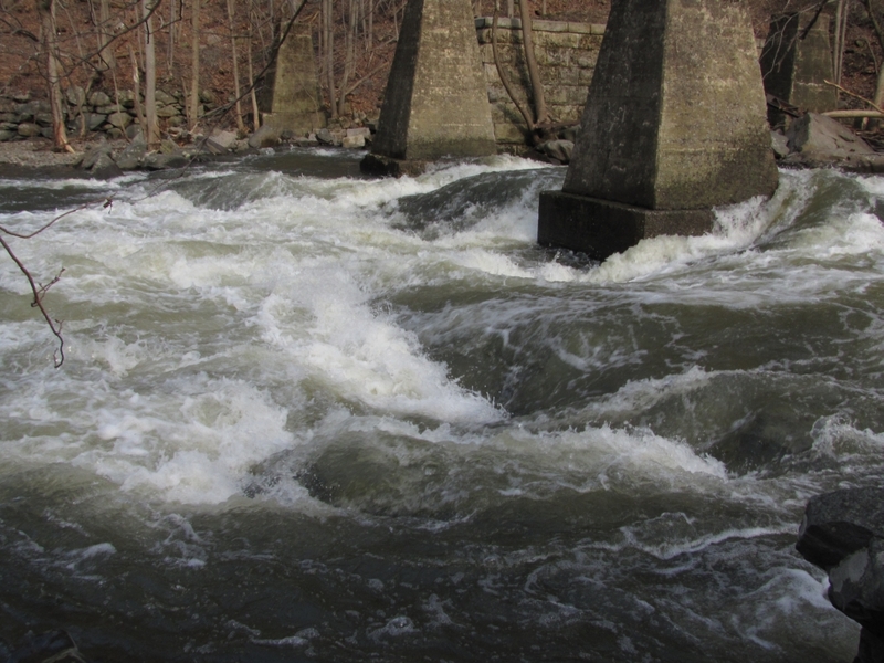
Flow splits around a small island which gets inundated at high water as river turns right. As of spring 2022, the left side is now (once again) a woody mess. Last significant rapid, recognizable as it starts with low island. Stay right of the island and you're fine. Flow isn't strong enough to be dangerous to anyone who's made it this far, but you're too far into the mess to paddle out. (This left line used to put you over a drop).
Location
Interactive river map
Loads as you approach this section.
Other Rapids on This Run (14)
 Rapid
N/A
Rapid
N/A
Putin
 Rapid
N/A
Rapid
N/A
Beautiful Calm Sections
 Hazard
II+
Hazard
II+
Route 32 bridge dam /gorge put in
 Rapid
III
Rapid
III
Lumber Yard
 Hazard
IV
Hazard
IV
Hell's Teeth
Rapid
II+
Island below the Teeth
 Waterfall
II+
Waterfall
II+
2nd Dam
 Hazard
III
Hazard
III
Irene
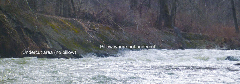 Hazard
III
Hazard
III
Factory ending with undercut retaining wall
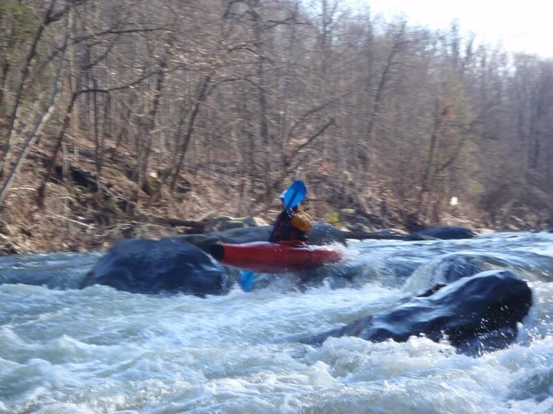 Rapid
II+
Rapid
II+
Mike's Peril
Hazard
II+
Hemlock
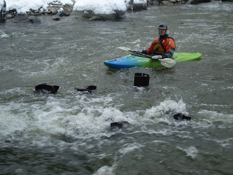 Rapid
II
Rapid
II
Former Jaws (under the bridge)/normal pullout
Hazard
III
Low head dam with recirc below rapid below forge hill road bridge
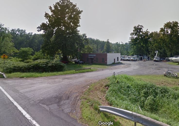 Rapid
II
Rapid
II
New Windsor Building and Grounds Building Alternate pullout
View Full Run
Pleasant Hlll Road to 9W
Moodna Creek
II-III+(IV)
5.4 mi
Current Conditions
5-Day Forecast
Whitewater data from
American Whitewater
American Whitewater