New Windsor Building and Grounds Building Alternate pullout
Save this feature with the run it belongs to.
Gauge Conditions
Runnable: 280.0 – 5,000.0 CFS
The upper limit is a rough guess, based on historical data for this gauge. If you have better beta, please add a comment.
Data from American Whitewater & USGS
Photo
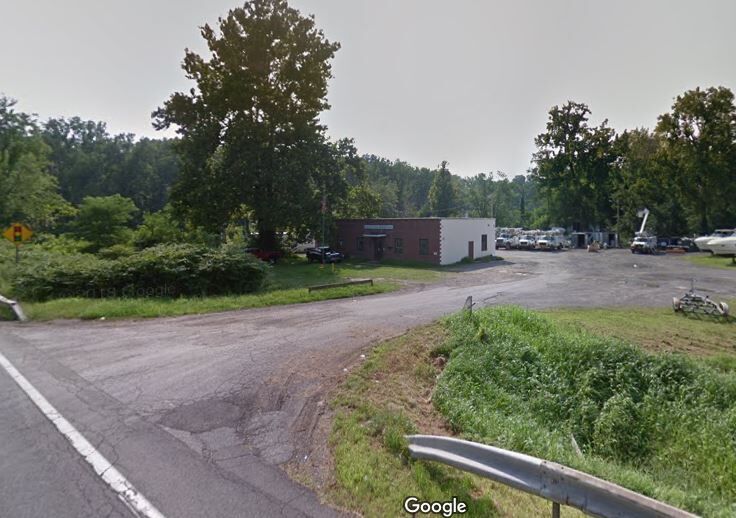
Photo courtesy of American Whitewater
Description
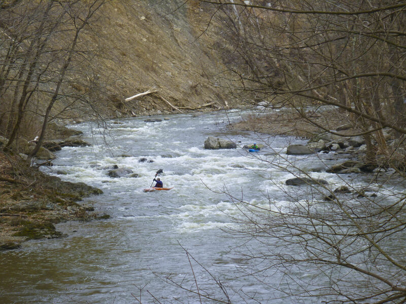
Alternate pull out at 9w that gives you a pretty stretch of easier river. Gravel drive just after crossing river (northbound) and below/south of Storm King Marine. Adds a mile + with several nice class 2 rapids including one that has a lot of jagged rocks and no clean line - but with the full upper section makes the whole run decently long and paddlers challenged by the gorge won't be bored by this section. This section caught a massive amount of wood after Irene and had a few perilous routes thru the strainers for awhile. Until 2019 had a porta potty at the pullout but now there's not much privacy to relieve yourself. Building has an overhang that gives you a dry place to change in the rain.
Pullout is an boat launch ramp that ends at normal water level. Usually somewhat awkward for the first person out but if they are nice they can pull the rest onto the ramp.
This was an official kayak launch but it's just above tidewater so in most conditions you can't paddle back up from the Hudson to here. Plum Point Park has much better launch for rec paddlers. https://www.google.com/maps/place/New+Windsor+Kayak+Launch/@41.4593953,-74.0237283,15z/data=!4m5!3m4!1s0x0:0x4a101fce3fb3965a!8m2!3d41.4593953!4d-74.0237283 Flatwater marsh leads to the Hudson. Pretty but pretty boring in a whitewater boat.
This was an official kayak launch but it's just above tidewater so in most conditions you can't paddle back up from the Hudson to here. Plum Point Park has much better launch for rec paddlers. https://www.google.com/maps/place/New+Windsor+Kayak+Launch/@41.4593953,-74.0237283,15z/data=!4m5!3m4!1s0x0:0x4a101fce3fb3965a!8m2!3d41.4593953!4d-74.0237283 Flatwater marsh leads to the Hudson. Pretty but pretty boring in a whitewater boat.
Location
Interactive river map
Loads as you approach this section.
Other Rapids on This Run (14)
 Rapid
N/A
Rapid
N/A
Putin
 Rapid
N/A
Rapid
N/A
Beautiful Calm Sections
 Hazard
II+
Hazard
II+
Route 32 bridge dam /gorge put in
 Rapid
III
Rapid
III
Lumber Yard
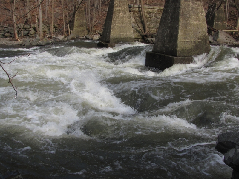 Hazard
IV
Hazard
IV
Hell's Teeth
Rapid
II+
Island below the Teeth
 Waterfall
II+
Waterfall
II+
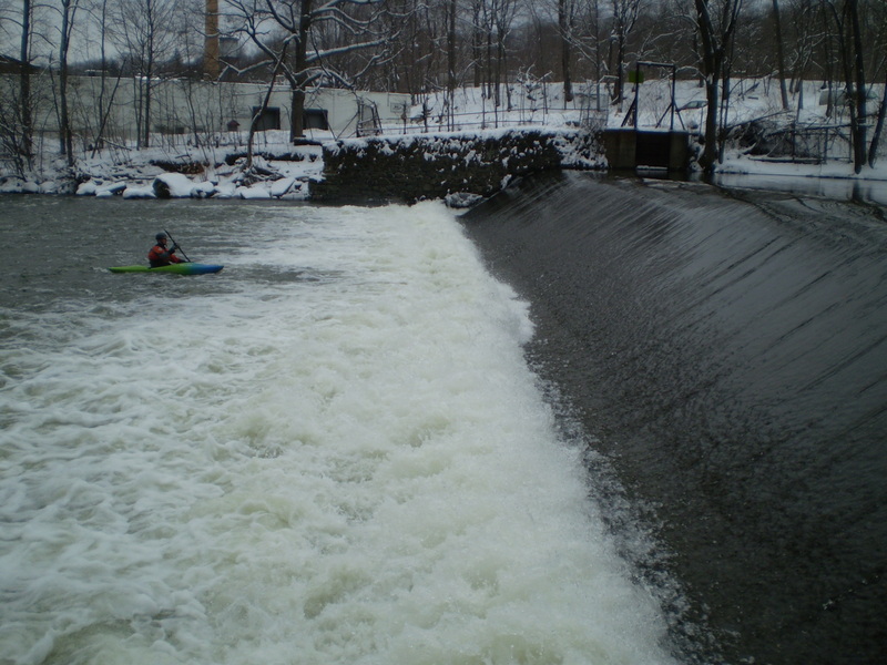
2nd Dam
 Hazard
III
Hazard
III
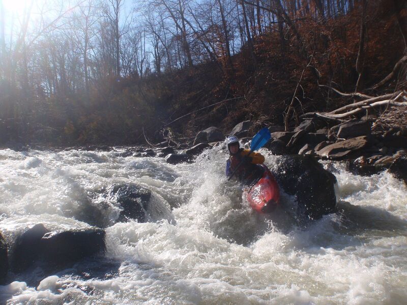
Irene
 Hazard
III
Hazard
III
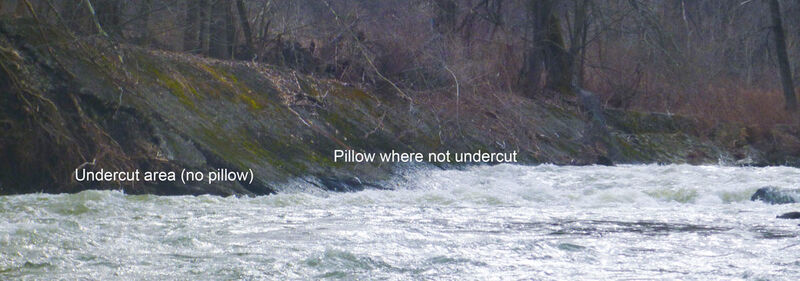
Factory ending with undercut retaining wall
 Rapid
II+
Rapid
II+
Mike's Peril
Hazard
II+
Hemlock
 Rapid
III
Rapid
III
Root Ball
 Rapid
II
Rapid
II
Former Jaws (under the bridge)/normal pullout
Hazard
III
Low head dam with recirc below rapid below forge hill road bridge
View Full Run
Pleasant Hlll Road to 9W
Moodna Creek
II-III+(IV)
5.4 mi
Current Conditions
5-Day Forecast
Whitewater data from
American Whitewater
American Whitewater