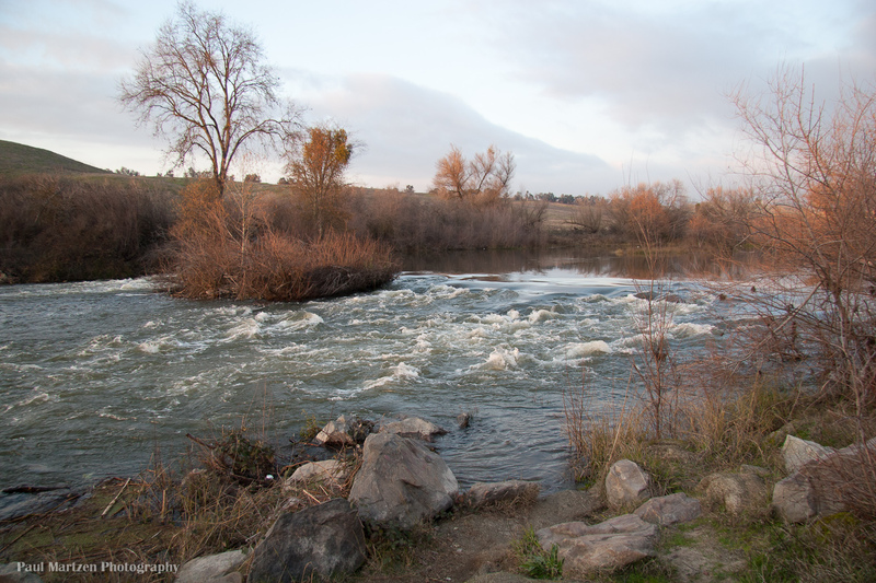
Protruding Stump Riffle
Save this feature with the run it belongs to.
Gauge Conditions
Runnable: 150.0 – 15,000.0 CFS
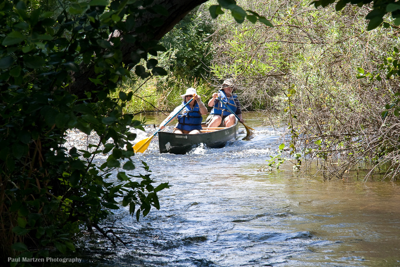
Good for canoes and beginners.
Data from American Whitewater & USGS
CDEC Flow Data California
Data from California Data Exchange Center (CDEC)
Description
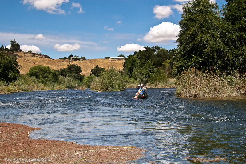
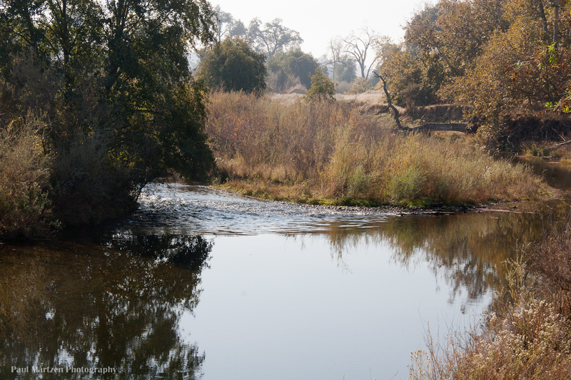
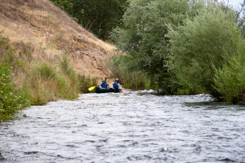
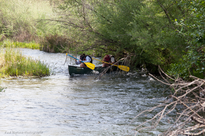
After the river passes under Highway 41, it loops back to the north bank (river right). The channel remains against this bank for a ways till it is constricted at this riffle.
At typical low flows the river narrows down against the right bank. A tree fell across the river and was cut off, leaving several feet of tree trunk protruding across the current, hence the name. The high flows of 2011 removed the stump completely. Now this is an easy and clean riffle that curves to the left.
Below this, the river widens a bit, passes two smaller riffles then flattens out into a series of large lakes. The lakes are old gravel mining pits.
Location
Other Rapids on This Run (20)
 Rapid
N/A
Rapid
N/A
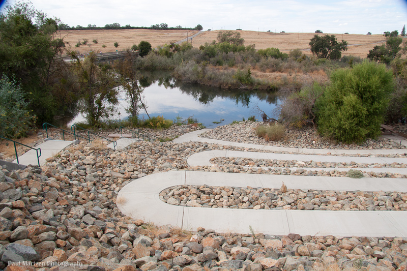
Friant Cove
 Hazard
I
Hazard
I
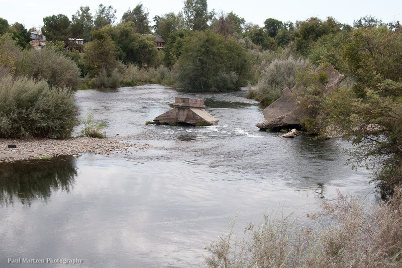
Broken Bridge
 Playspot
I
Playspot
I
Lost Lake: 1st rapid
 Playspot
II
Playspot
II
Lost Lake: Middle Falls
Rapid
I
Lost Lake: Long Riffle
 Rapid
I
Rapid
I
Ledger Island Riffle (Beaver Riffle)
 Rapid
I
Rapid
I
Concrete Bridge Riffle
Rapid
I
Shady Riffle
 Rapid
I
Rapid
I
Cobb Channel Diversion
Rapid
N/A
Mansion
 Rapid
N/A
Rapid
N/A
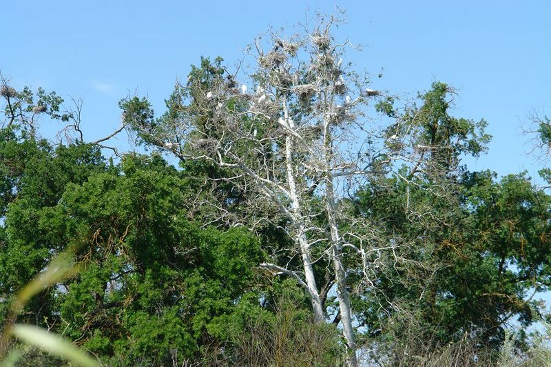
Heron and Egret Rookery
 Hazard
I
Hazard
I
Rookery Riffle
 Rapid
I
Rapid
I
Upper Owl Hollow Riffle
Rapid
N/A
Owl Hollow
 Hazard
I
Hazard
I
Lower Owl Hollow Riffle
 Hazard
I
Hazard
I
Causeway Culvert
 Rapid
I
Rapid
I
Rock and Roll
 Rapid
I
Rapid
I
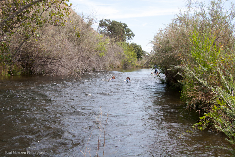
Swimmers Riffle
 Rapid
N/A
Rapid
N/A
Ft Washington Beach
 Rapid
I
Rapid
I
Wildwood Riffles
View Full Run
Friant Dam to Mendota Pool Dam
San Joaquin
I
61.6 mi
Current Conditions
5-Day Forecast
Whitewater data from
American Whitewater
American Whitewater