Rooster Tail
Save this feature with the run it belongs to.
Gauge Conditions
Runnable: ? – ? CFS
Approximate - nearest available gauge. Use as general reference only.
Data from American Whitewater & USGS
Photo
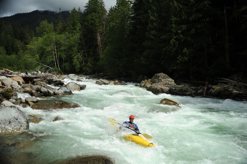
Photo courtesy of American Whitewater
Description
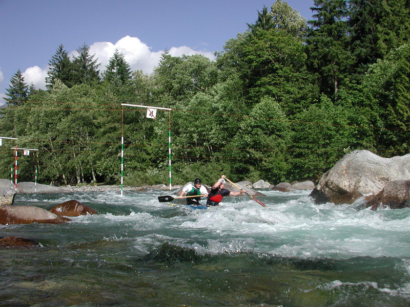
Rooster Tail has a fun boof flake on the classic right line. An alternative is to take the line down the left. It's an easy scout from the right and a standard stop on the shuttle. When flows are low enough you can also stop at the top of the island when you are on the river and walk down the center-channel island to scout either the left or right line. Those who don't want to boat the canyon often put in at the base of Rooster Tail. You can find this access at road mile 10.7.
Location
Interactive river map
Loads as you approach this section.
Other Rapids on This Run (10)
View Full Run
2. Bear Creek (Drum-beater) to South Fork confluence
Skykomish, N. Fork
IV
12.4 mi
Current Conditions
5-Day Forecast
Whitewater data from
American Whitewater
American Whitewater