Rapid
WA
Trout Creek Access (private)
Save this feature with the run it belongs to.
Gauge Conditions
Runnable: ? – ? CFS
Approximate - nearest available gauge. Use as general reference only.
Data from American Whitewater & USGS
Description
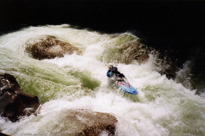
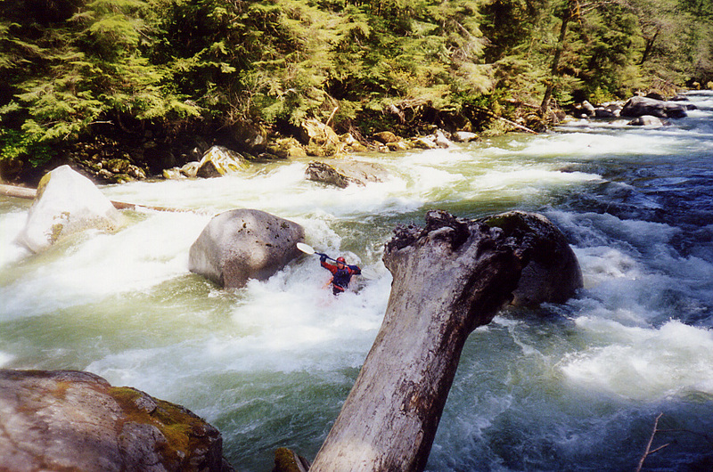
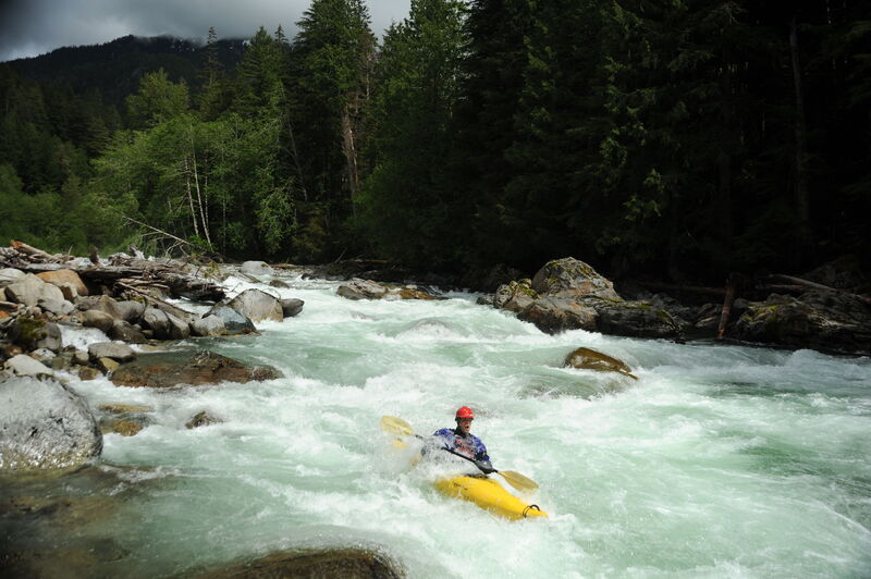
This is a private access point and campground owned and managed by Outdoor Adventure Center since 2010. Please seek permission before using but it may be an option for groups planning a weekend trip to the area. This access point is the traditional division point between class IV whitewater upstream and a class III whitewater downstream.
Location
Interactive river map
Loads as you approach this section.
View Full Run
2. Bear Creek (Drum-beater) to South Fork confluence
Skykomish, N. Fork
IV
12.4 mi
Current Conditions
5-Day Forecast
Whitewater data from
American Whitewater
American Whitewater