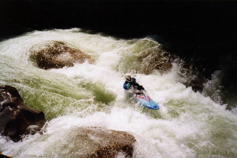
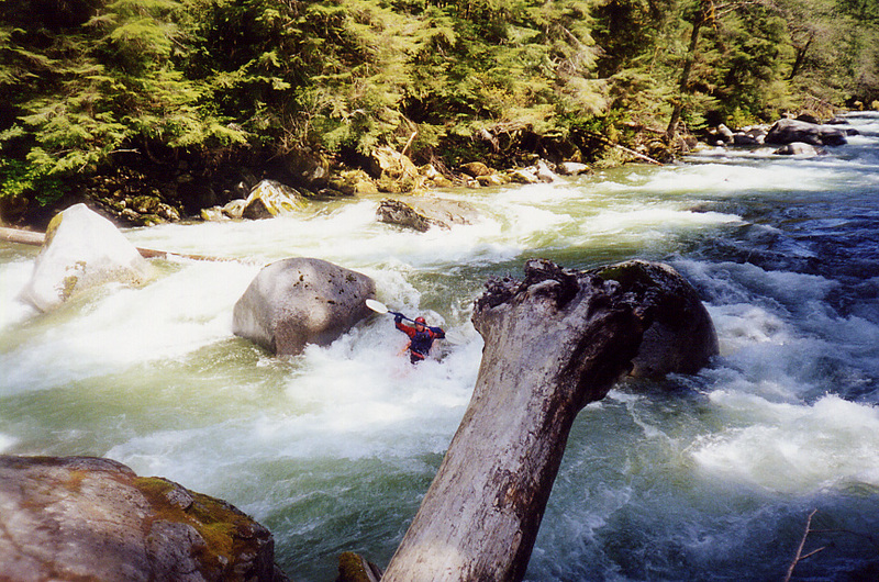
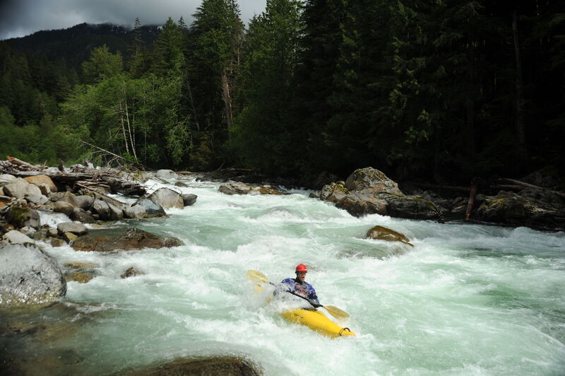
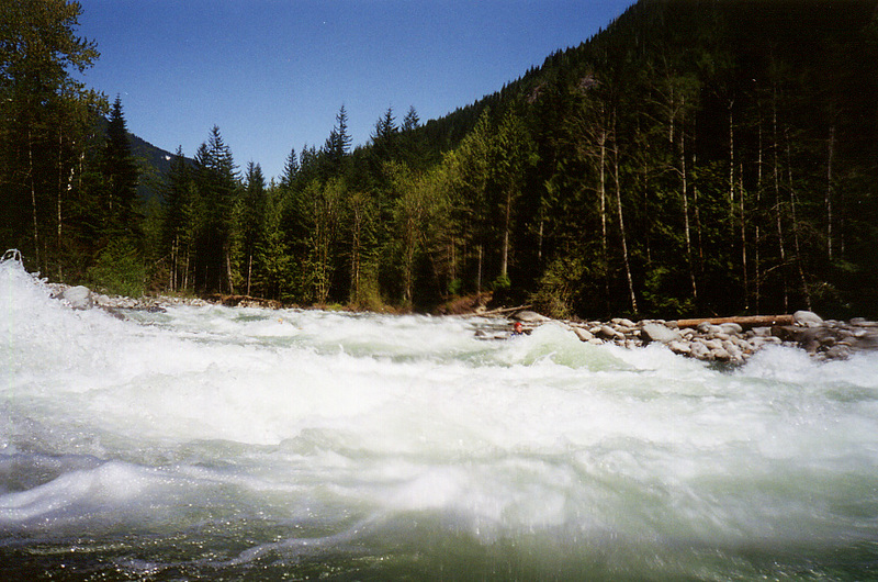
Rapid
WA
Seven Mile Bridge Access Point
Save this feature with the run it belongs to.
Gauge Conditions
Runnable: ? – ? CFS
Approximate - nearest available gauge. Use as general reference only.
Data from American Whitewater & USGS
Description
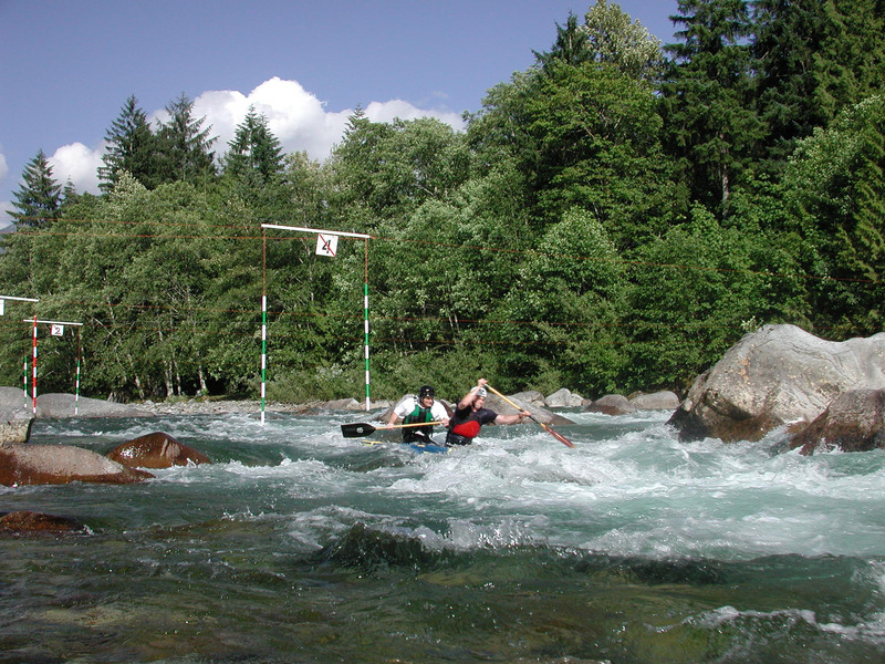
The public access at Seven Mile Bridge is located at Index-Galena road mile 6.9. With the reconstruction of the road American Whitewater worked with the Forest Service and Snohomish County to retain a segment of the old realignment so paddlers would have a place to park off the highway. We would appreciate local community assistance to steward this site given that it was provided at the request of the whitewater boating community.
Location
Interactive river map
Loads as you approach this section.
View Full Run
2. Bear Creek (Drum-beater) to South Fork confluence
Skykomish, N. Fork
IV
12.4 mi
Current Conditions
5-Day Forecast
Whitewater data from
American Whitewater
American Whitewater