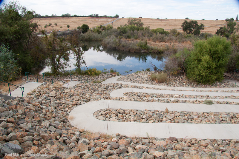
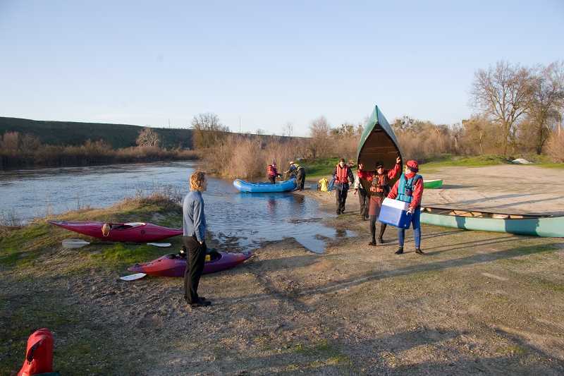
Sycamore Island Access
Save this feature with the run it belongs to.
Gauge Conditions
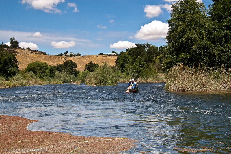
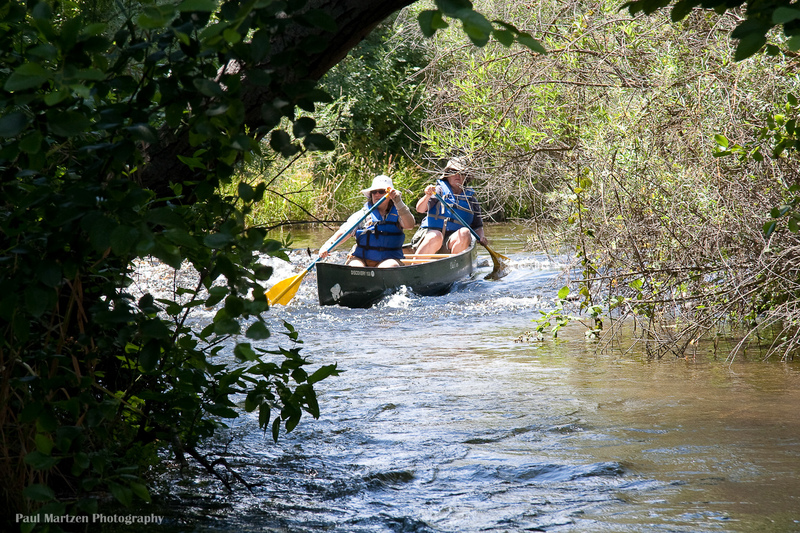
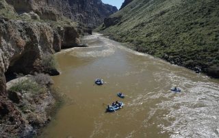
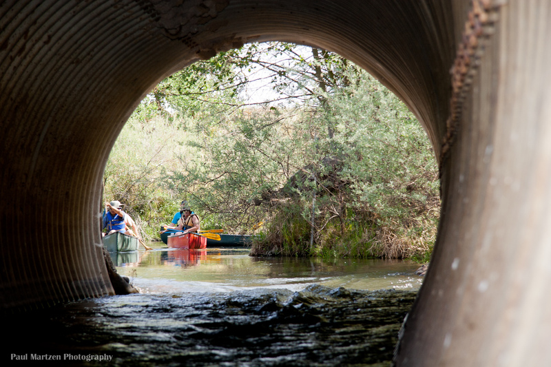
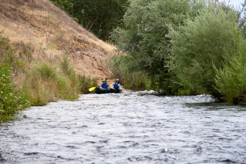
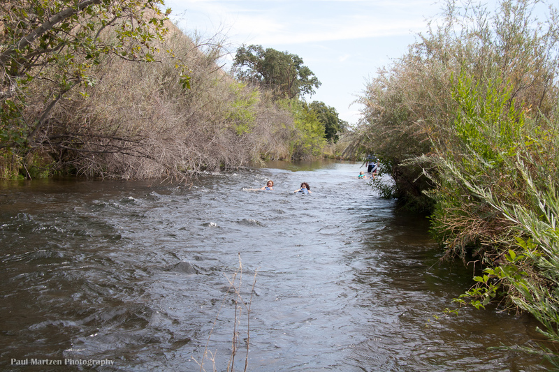
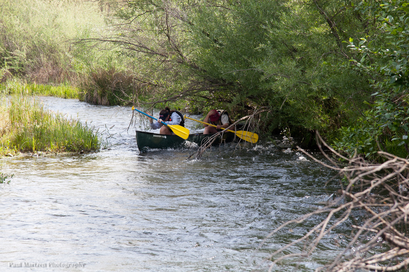
Good for canoes and beginners.
CDEC Flow Data California
Description
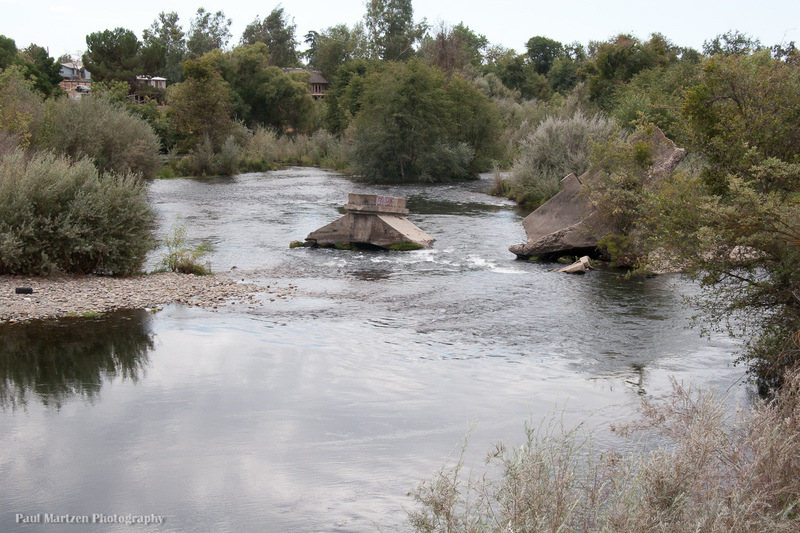
A former gravel mining operation was sold to the San Joaquin River Conservancy. It is open for camping and day use, Friday through Sunday. A private contractor collects fees for day use and camping in exchange for supervising the area and doing maintanence. There are bathrooms here and a small store.
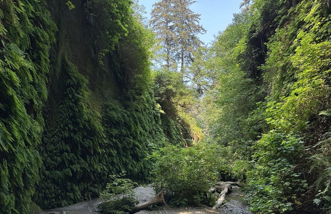
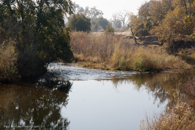
The map marker shows the location of a good canoe put in or take out on Muddy Pond. A break in the levee connects this pond with the river channel. Two concrete boat ramps are also found along the considerable Sycamore Island waterfront.
Street access is from the Madera side of the river. Take Avenue 9, to Road 40 south, then turn right on Ave 7 1/2 to the Sycamore Island entrance. Dnive in to a small building which is the store and pay the fees.
Location
Other Rapids on This Run (20)
 Rapid
N/A
Rapid
N/A
 Hazard
I
Hazard
I
 Playspot
I
Playspot
I
 Playspot
II
Playspot
II
 Rapid
I
Rapid
I
 Rapid
I
Rapid
I
 Rapid
I
Rapid
I
 Rapid
N/A
Rapid
N/A
 Hazard
I
Hazard
I
 Rapid
I
Rapid
I
 Hazard
I
Hazard
I
 Hazard
I
Hazard
I
 Rapid
I
Rapid
I
 Rapid
I
Rapid
I
 Rapid
N/A
Rapid
N/A
 Rapid
I
Rapid
I
Current Conditions
5-Day Forecast
American Whitewater