Access Sites in South Carolina
Find mapped boat ramps, launches, and public water access points across the United States.
766
Total Sites
24
Loaded
1
Regions
Map view
Explore nearby access
Pan or zoom to load the sites in view, then open a marker for details and directions.
Interactive access map
Loads after the directory is visible.
Loading...
Navigation Tips
- Zoom in to load more sites in your area of interest
- Click on clusters (numbered circles) to zoom into that area
- Click on individual markers for site details and directions
- Use scroll wheel or pinch to zoom, drag to pan
Directory results
Loaded access sites
The list reflects the current page and can be narrowed with the search field.
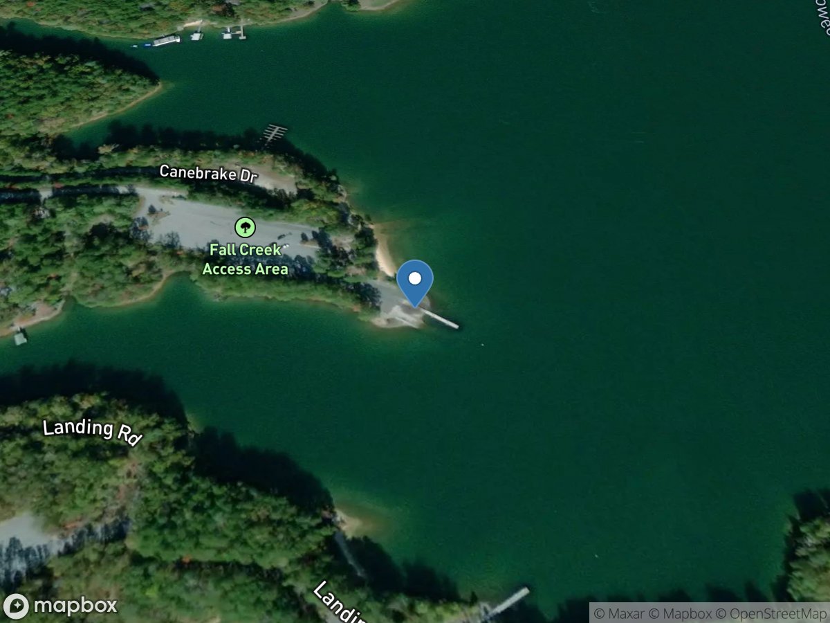
Fall Creek
Access Site
Keowee River - Lake Keowee
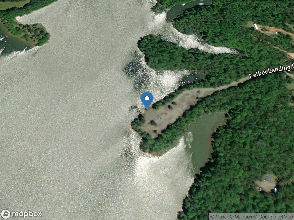
Felkel
Access Site
Rocky River - Lake Richard B. Russell
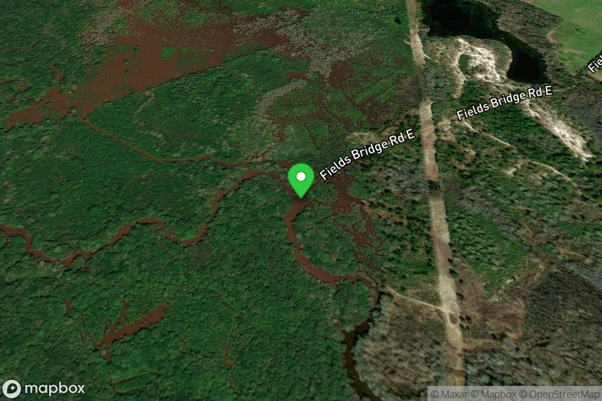
Field's Bridge Road
Access Site
Lynches River
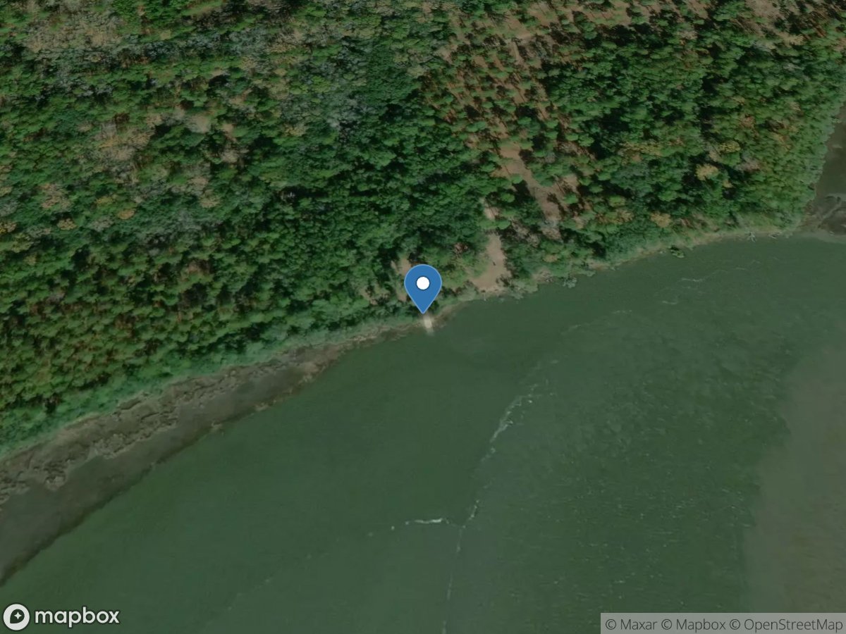
Fields Point Landing
Access Site
Combahee River
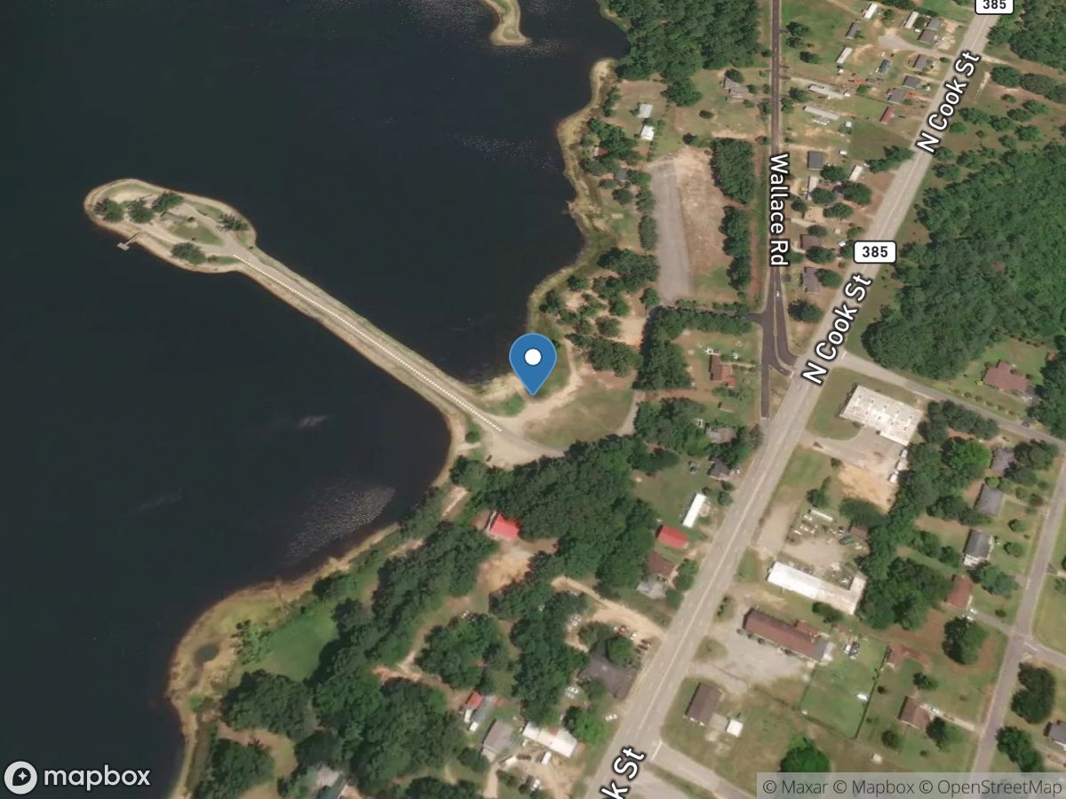
Fishing Area
Access Site
Lake Wallace
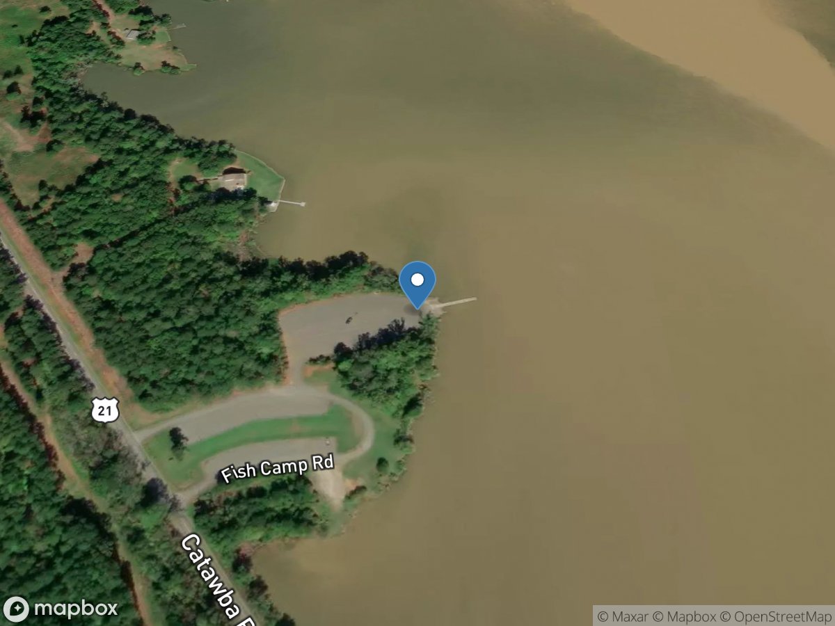
Fishing Creek
Access Site
Fishing Creek Pond
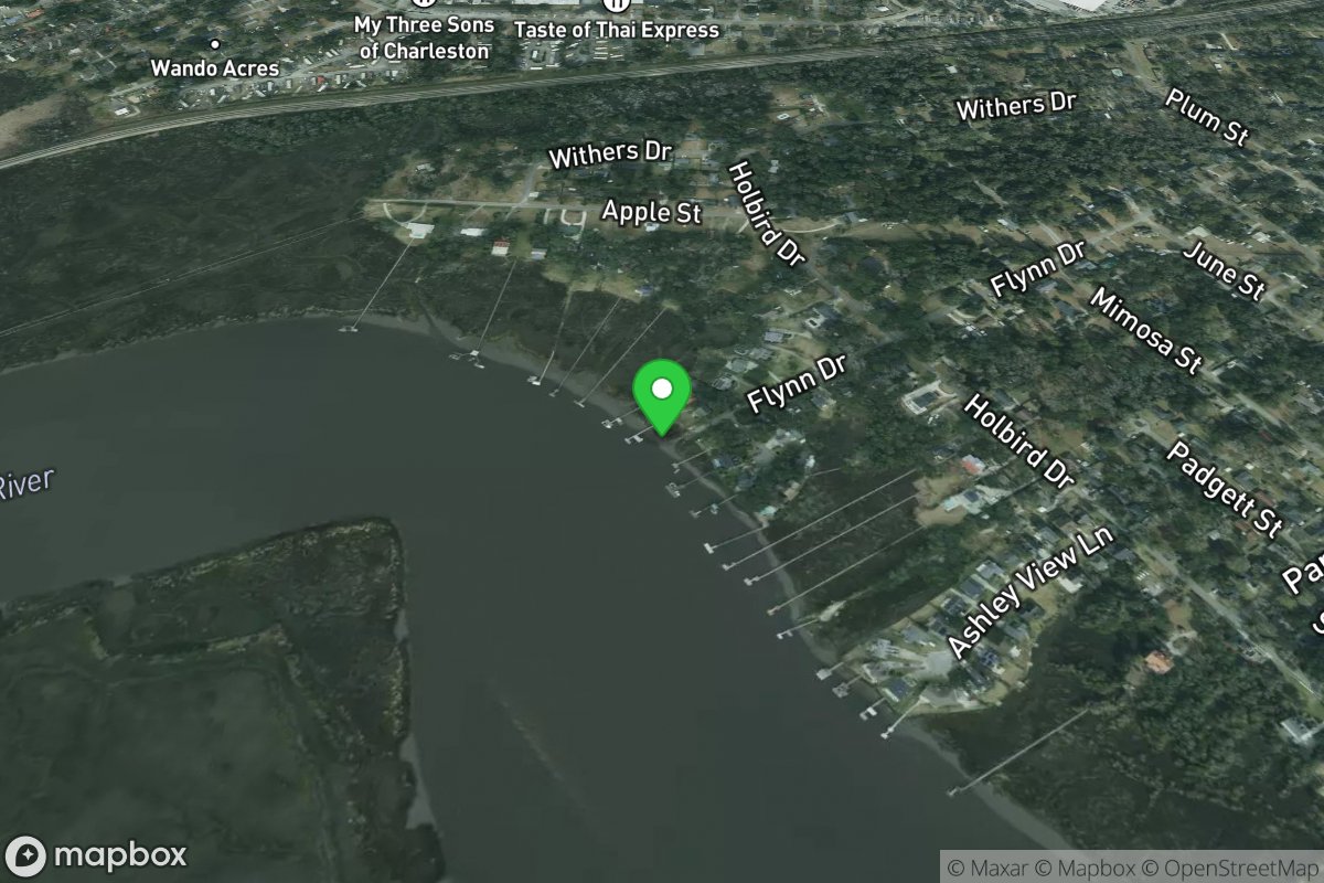
Flynn Street Boat Ramp
Access Site
Ashley River
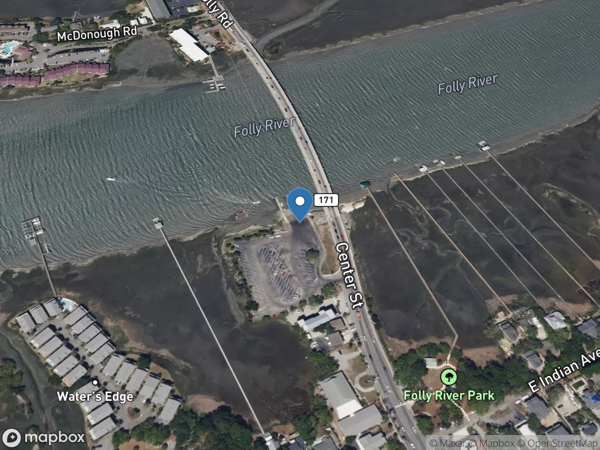
Folly River Boat Ramp
Access Site
Folly River
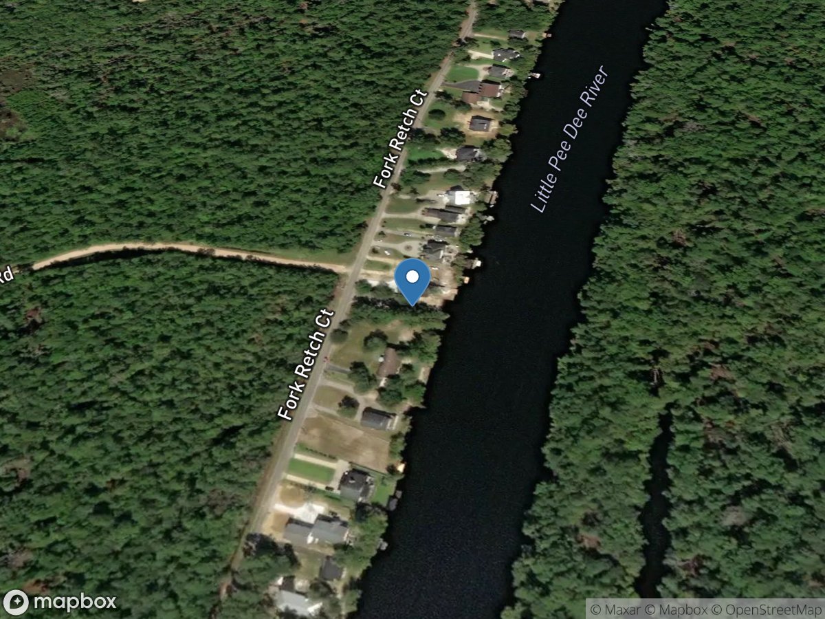
Fort Retch Landing
Access Site
Little Pee Dee River
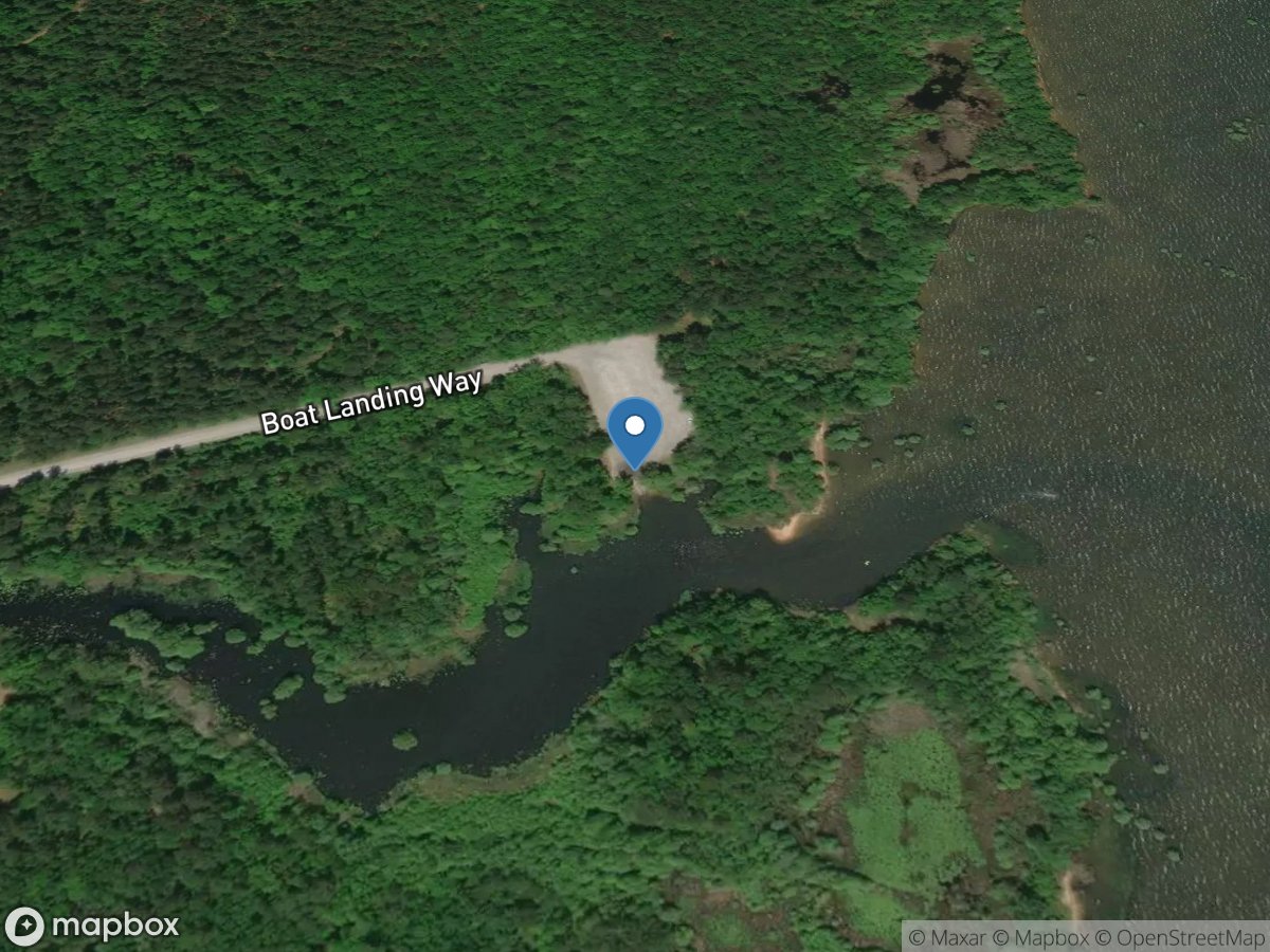
Fred L. Day
Access Site
Lake Moultrie
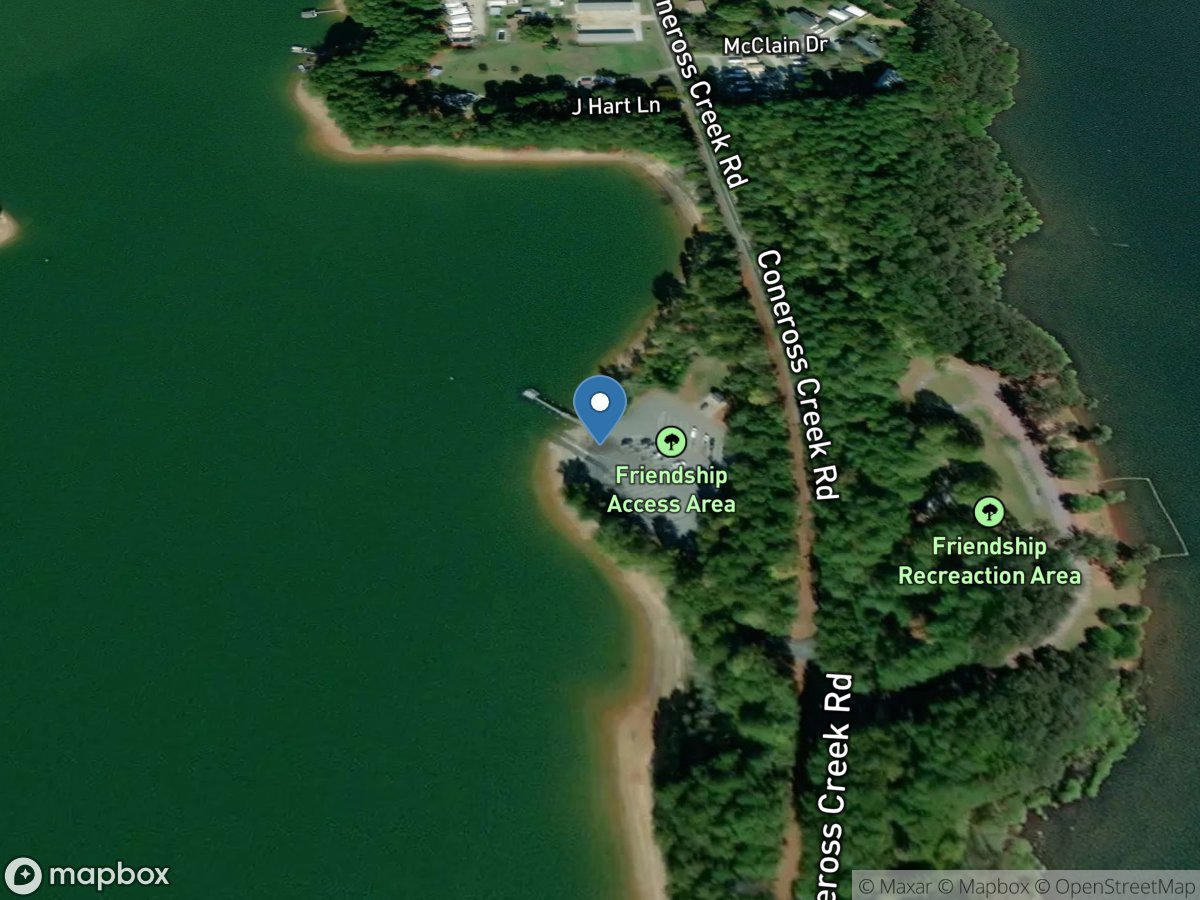
Friendship
Access Site
Coneross Creek - Lake Hartwell
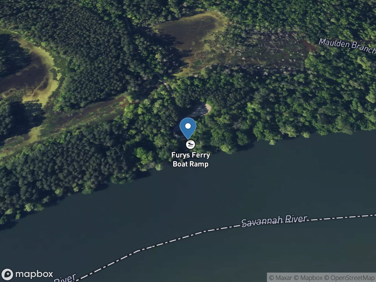
Furys Ferry
Access Site
Savannah River
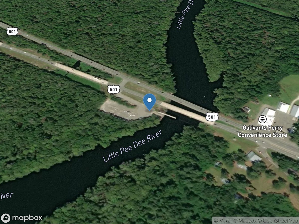
Gallivant's Ferry Store Landing
Access Site
Little Pee Dee River
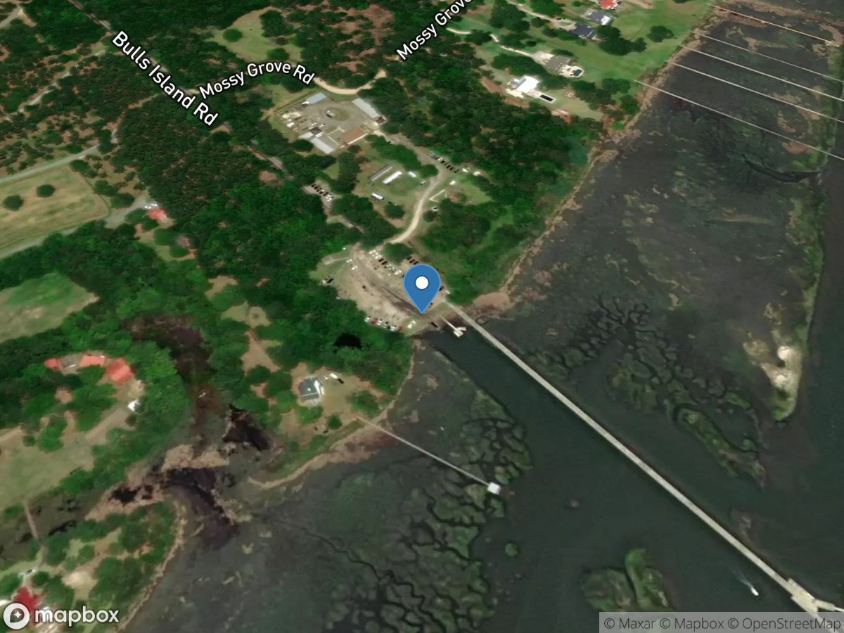
Garris Landing Boat Ramp
Access Site
Atlantic Intracoastal Waterway
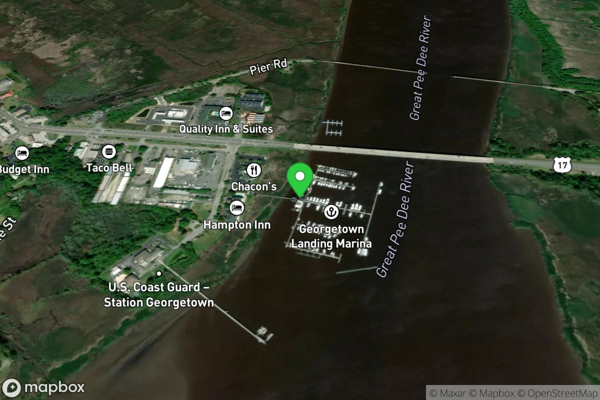
Georgetown Landing Marina
Access Site
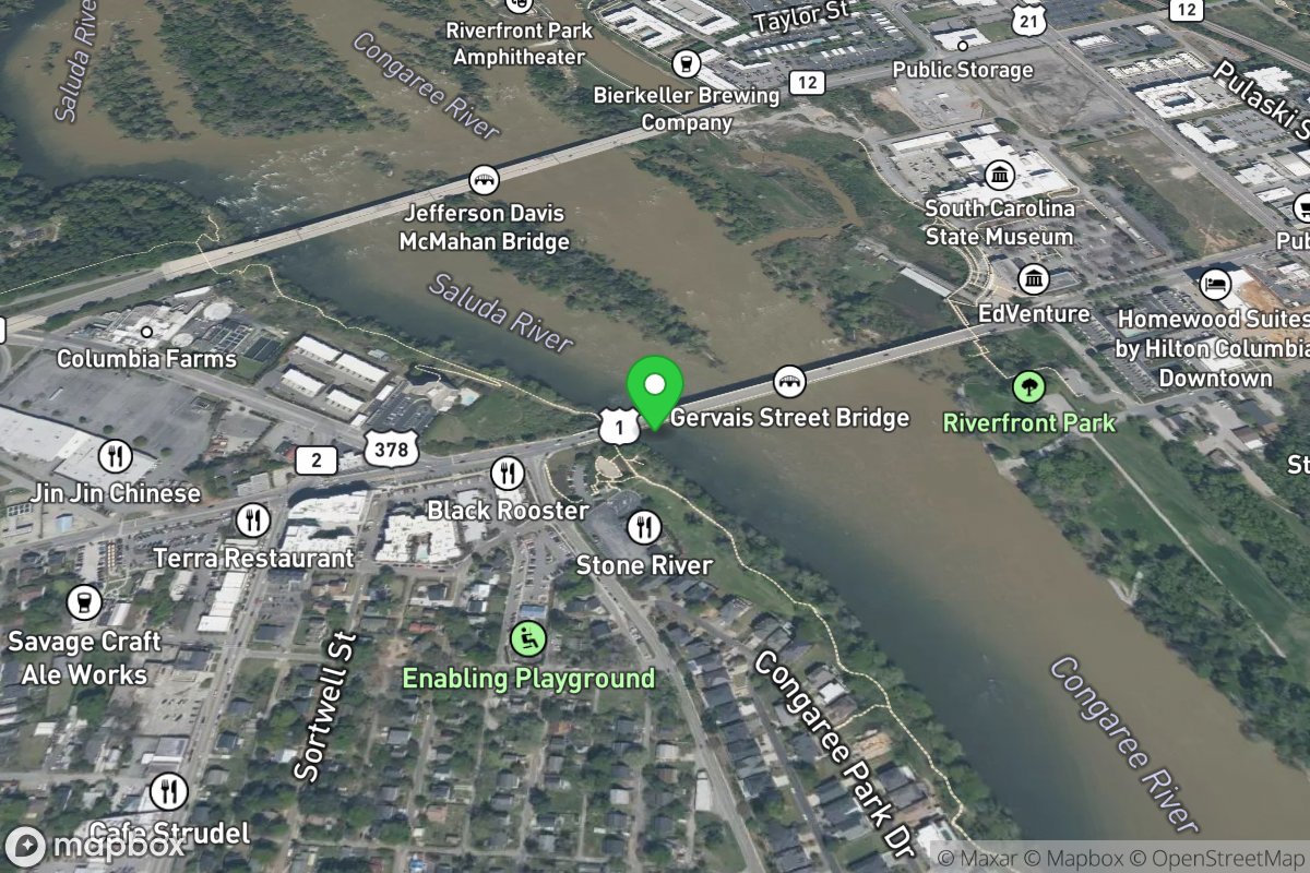
Gervais Street Bridge
Access Site
Saluda River
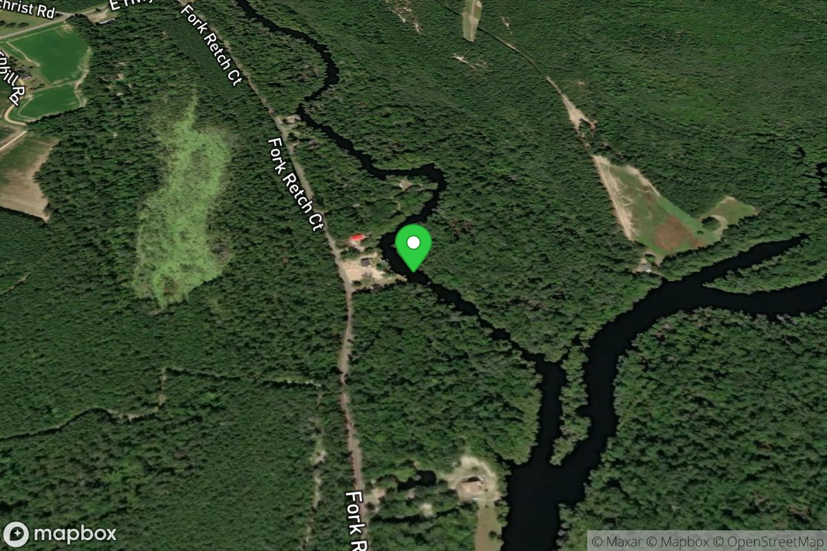
Gilcrest Landing
Access Site
Little Pee Dee River
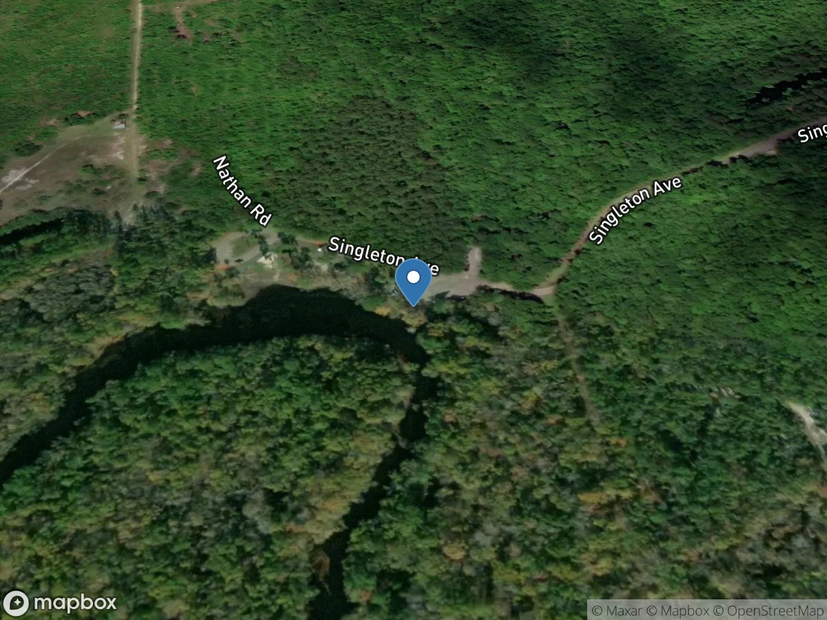
Gilliland Memorial Boat Ramp
Access Site
Black River
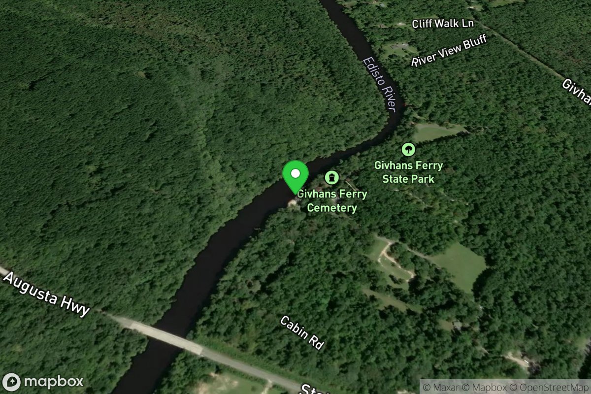
Givhans Ferry State Park
Access Site
Edisto River
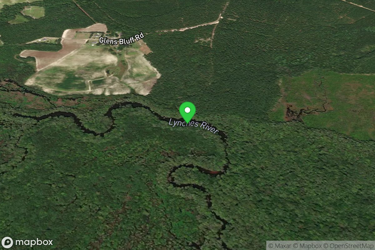
Glen's Bluff Landing
Access Site
Lynches River
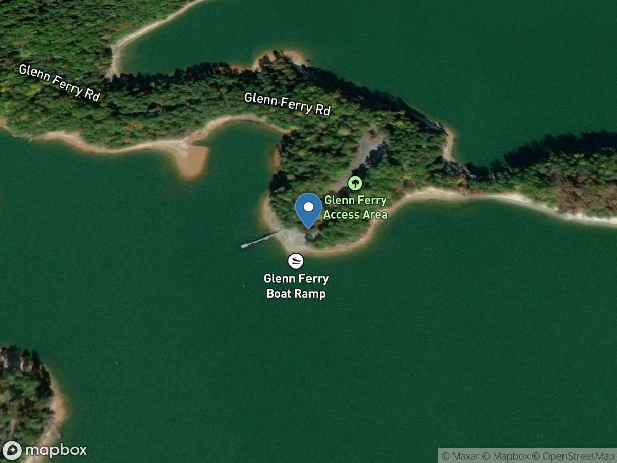
Glenn Ford Access Area
Access Site
Tugaloo River - Lake Hartwell
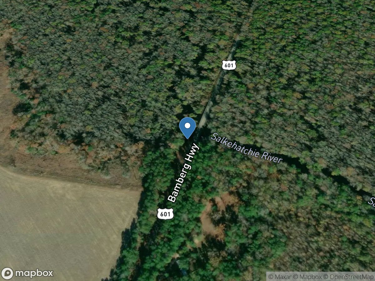
Goat Hill (Highway 601 Bridge)
Access Site
Salkehatchie River
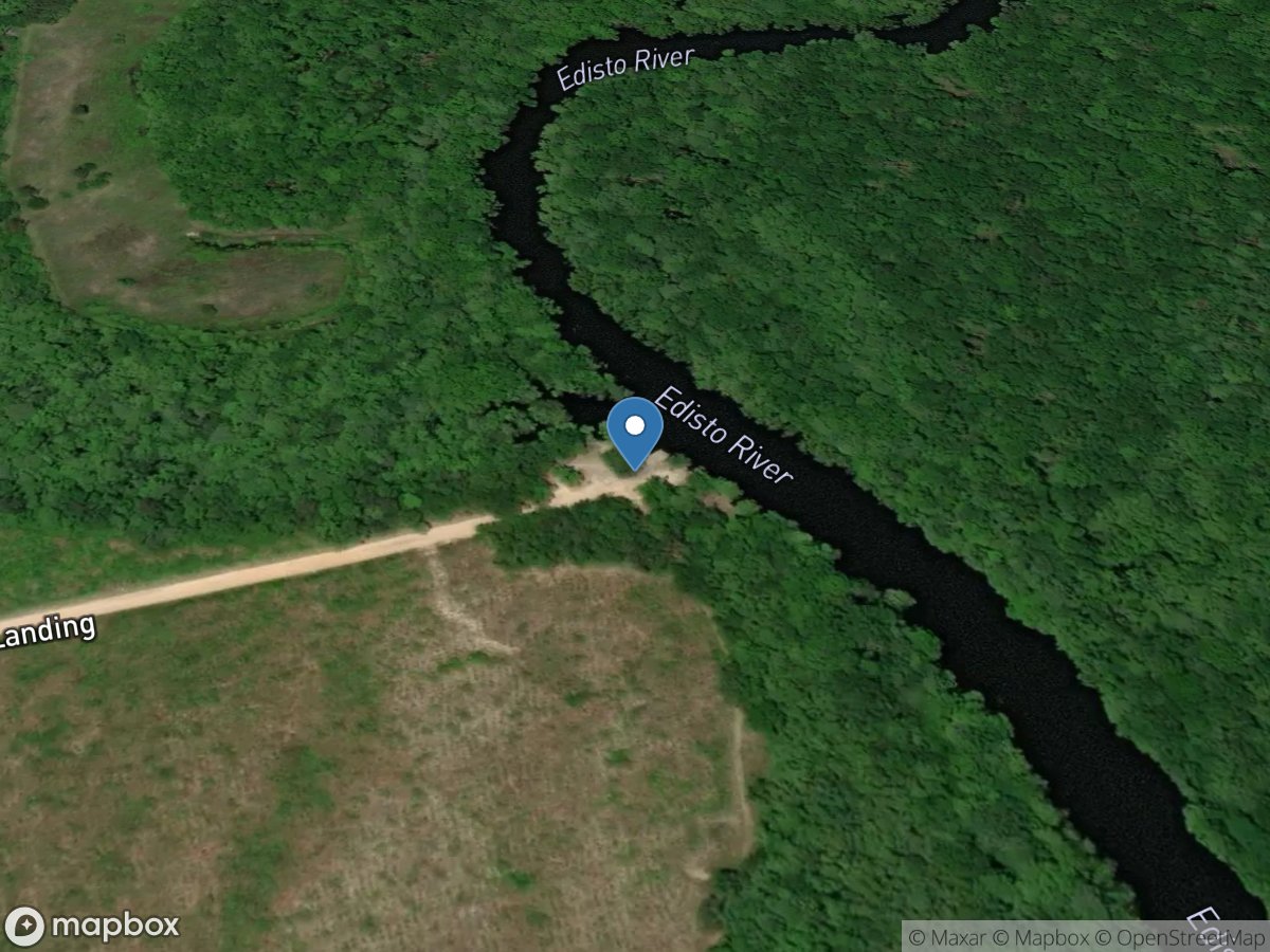
Good Hope Landing
Access Site
Edisto River
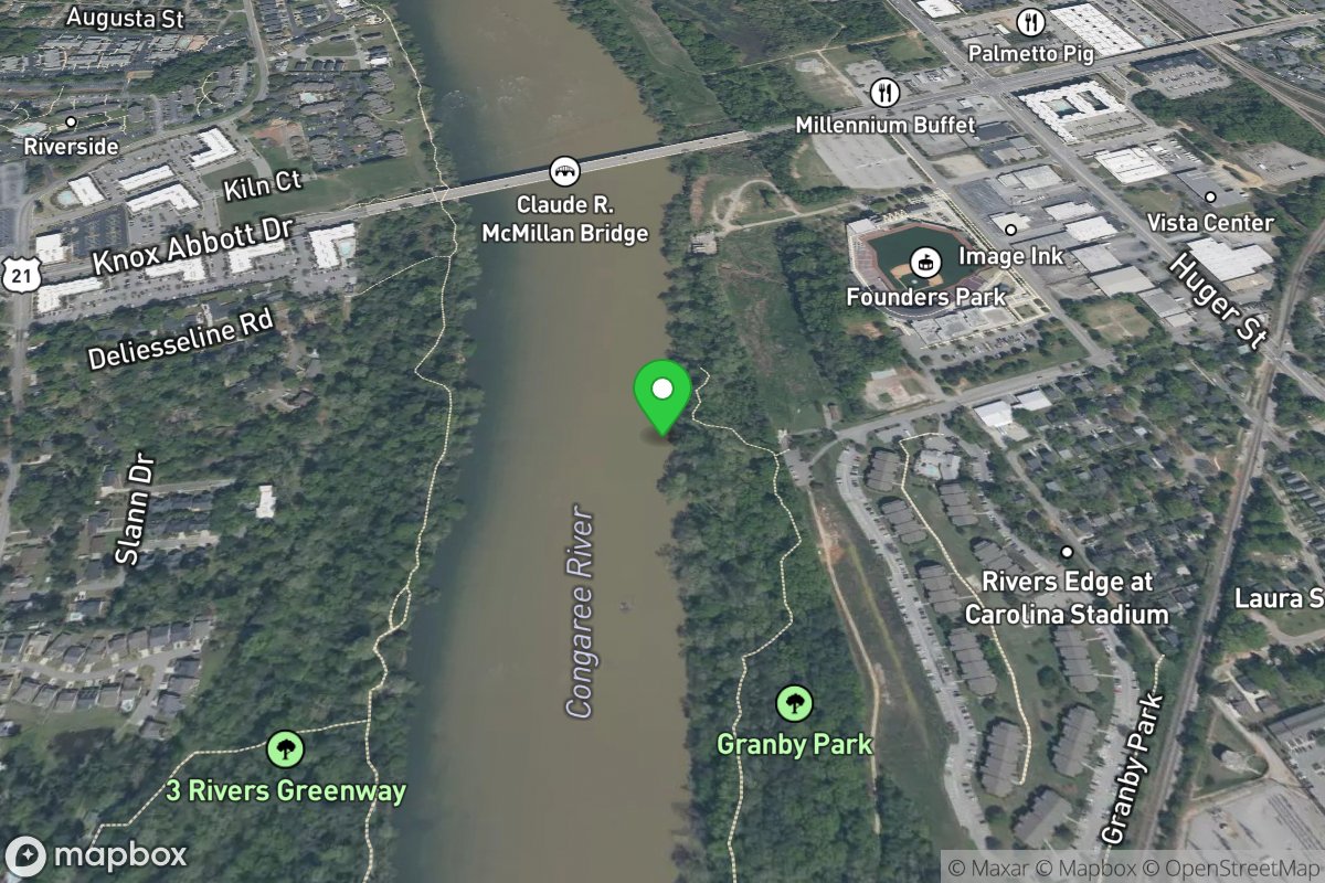
Granby Park Take-Out
Access Site
Broad