B) Red Granite: Hwy.169 to Devil's Gate (PnH or 6.3 miles) ** ACCESS ISSUES **
Gauge Conditions
Runnable: 3.5 – 4.5 FT
Data from American Whitewater & USGS
Run Map
Run Time Estimate
Select put-in and take-out to estimate time.
Plan This Trip
See wind-adjusted speed maps, forecast planning, and detailed time estimates.
Sign in to generate an AI timing estimate for this run.
Whitewater timing varies with scouting, portages, and group pace. Use as a planning baseline.
Description
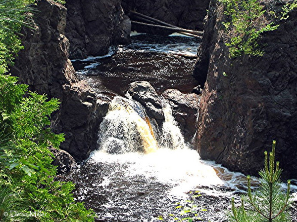
The full listed section would consist of two sections of major gradient, with otherwise flat water and light rapids. From Rte 169, there is 1.5 miles of flatwater before the beginning of the Red Granite falls sequence. After Red Granite, there is again only light rapids and flat water down to Copper Falls. Access to Copper Falls (being anywhere within its canyon) is restricted. Thus, most paddlers will be content to do Red Granite as a park-and-huck/park-and-play, followed (optionally) by driving down to the park to hike and look at Copper Falls, the canyon, and Brownstone Falls. Thus, we have changed the coordinates of the put-in and take-out to (respectively) the road which gives access to the base of the Red Granite sequence and the parking lot at Copper Falls.
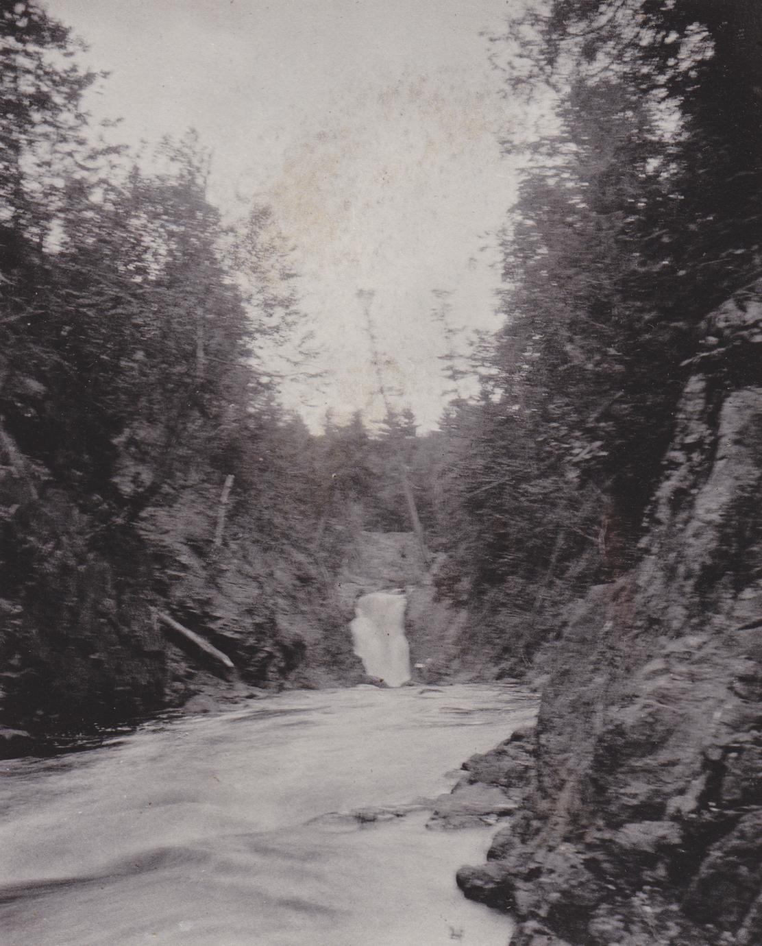
Red Granite Falls consists of high angle slides and boulder bed, class IV in low water, class V at higher flows.
The 'access issues' referred to in the header/section-name refer _only_ to the canyon _below_ Copper Falls (28'), where access is prohibited by Copper Falls State Park. Attempts to run the final mile to Devil's Gate may result in conflict with rangers. Access to Devil's Gate footbridge (the first approved access point downstream of the falls) is via hiking trails in the park.
Video of that section: _https://www.youtube.com/watch?v=3gtpS9sdCkA&t=156s_
(Note: the above link has been queued to a run of Copper Falls Canyon. Prior to that point, the video features runs of Wren Falls (on Tyler Forks, a tributary which drops into this canyon nearly the end of the video), and nearby Potato River Falls.)
A different run of it: _https://youtu.be/dgPTHFs7IP4_
Rapids in this Run (5)
Waterfalls (2)

Hazards & Portages (1)
Caution: The following locations may require scouting or portaging. Always check current conditions.
Difficulty
Class III-V
Length
3.6 mi
Gradient
40 ft/mi
max 98
Rapids
5
1 Hazard
Access Points
Shuttle Info
We have reset the put-in and take-out coordinates to reflect that most folks will be paddling Red Granite falls as a 'park and huck', and then (possibly) driving to the main parking to walk trails to look at Copper Falls, the Bad River Canyon, and Brownstone Falls.
Difficulty Classes
I Easy
II Novice
III Intermediate
IV Advanced
V Expert/Extreme
VI Unrunnable
Current Conditions
5-Day Forecast
Whitewater data from
American Whitewater
American Whitewater