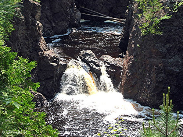
Rapid
WI
Confluence, Tyler Forks
Save this feature with the run it belongs to.
Gauge Conditions
Data from American Whitewater & USGS
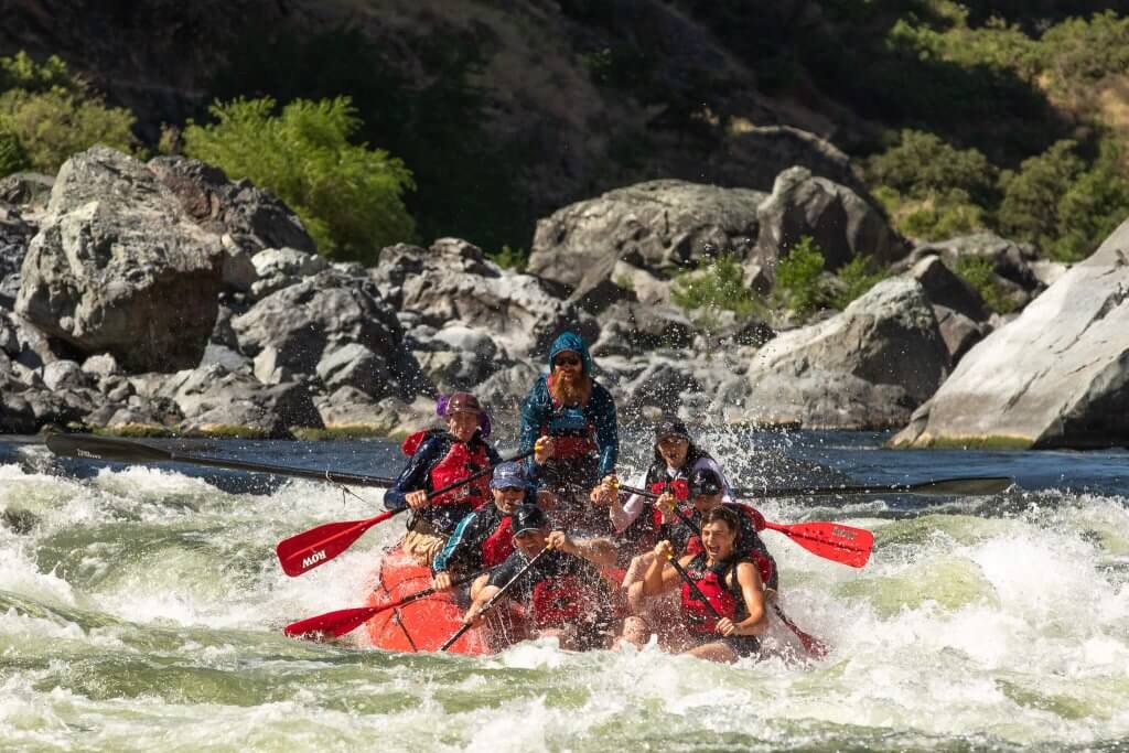
Photo
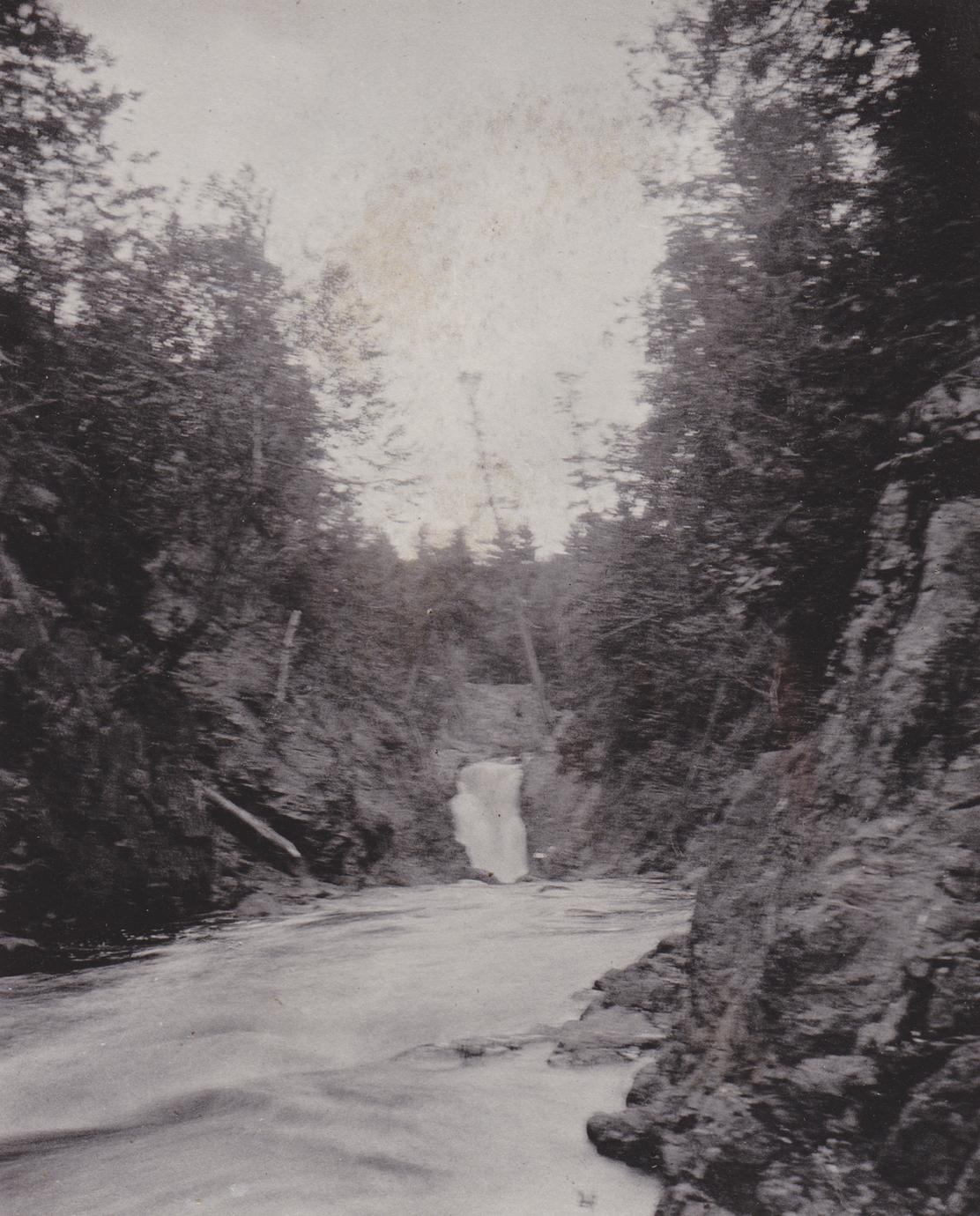
Photo courtesy of American Whitewater
Description
Immediately after a tight twist to the left, Tyler Forks cascades down Brownstone Falls and slams into the Bad. Major wrapping currents take place here at moderate-to-high flows. (Though appear amazingly mild in the video above.)
Location


View Full Run
B) Red Granite: Hwy.169 to Devil's Gate (PnH or 6.3 miles) ** ACCESS ISSUES **
Bad
III-V
3.6 mi
Current Conditions
5-Day Forecast
Whitewater data from
American Whitewater
American Whitewater