Rapid
WI
Hwy.169: 105.5 sq.mi.
Save this feature with the run it belongs to.
Gauge Conditions
Data from American Whitewater & USGS
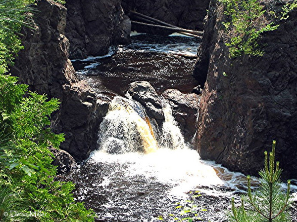
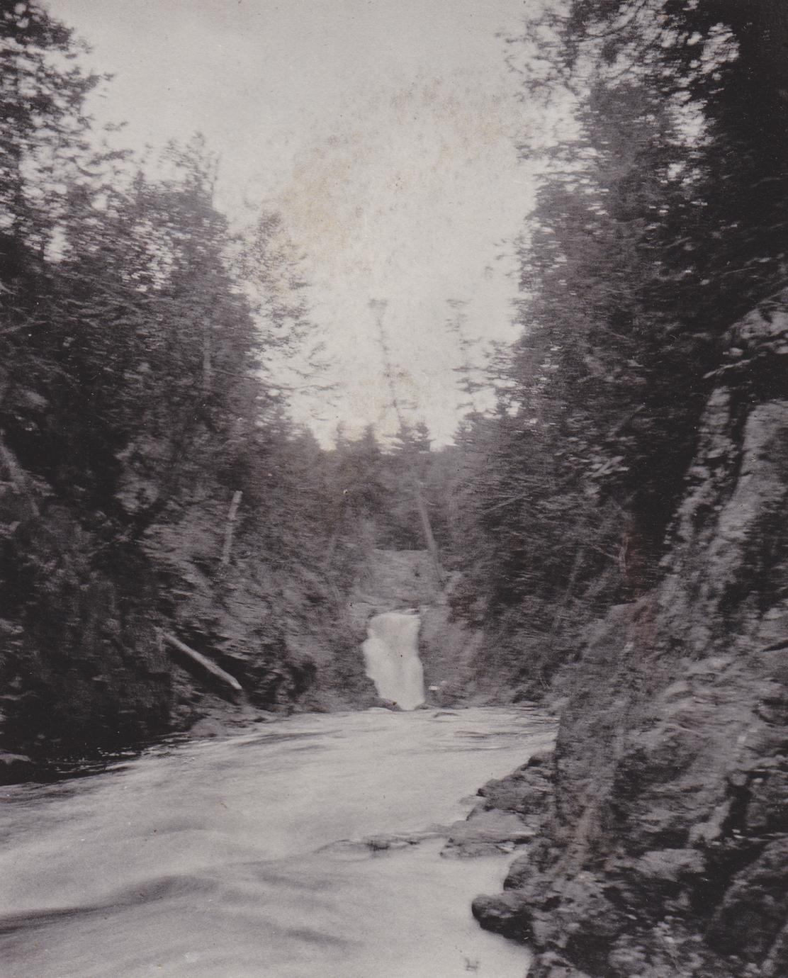
Photo
Photo courtesy of American Whitewater
Description
We are marking this location for reference and consistency with the full listed reach, though we sincerely doubt many (any?) boaters are likely to do the full run.
USGS lists a sampling site at this location showing drainage area of 105.5 square miles.
Location
Other Rapids on This Run (9)


View Full Run
B) Red Granite: Hwy.169 to Devil's Gate (PnH or 6.3 miles) ** ACCESS ISSUES **
Bad
III-V
3.6 mi
Current Conditions
5-Day Forecast
Whitewater data from
American Whitewater
American Whitewater