Rapid
WI
Put-in (actually, parking for access)
Save this feature with the run it belongs to.
Gauge Conditions
Data from American Whitewater & USGS
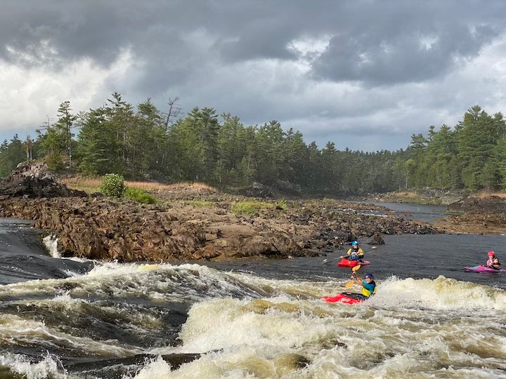
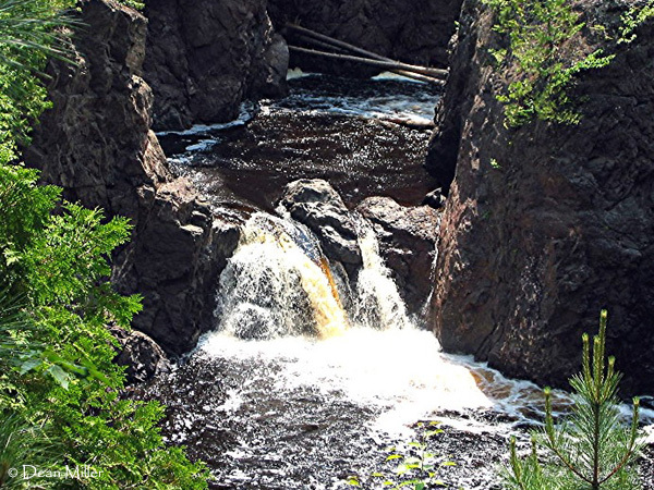
Photo
Photo courtesy of American Whitewater
Description
We have set the 'put-in' coordinates to the end of the park road from which you can access Red Granite Falls. Park here and hike upriver, scouting the drops as you go, then (if it looks good to you) run it down to (and take out near) where your vehicle is parked.
Location


View Full Run
B) Red Granite: Hwy.169 to Devil's Gate (PnH or 6.3 miles) ** ACCESS ISSUES **
Bad
III-V
3.6 mi
Current Conditions
5-Day Forecast
Whitewater data from
American Whitewater
American Whitewater