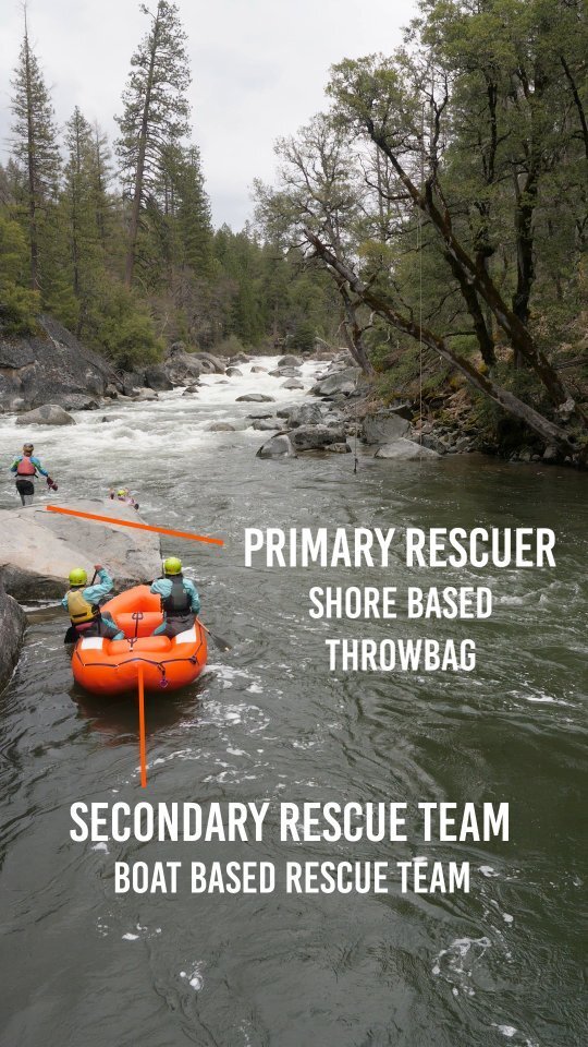
Hazard
WI
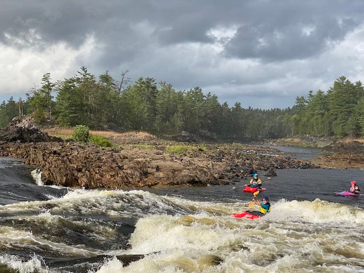
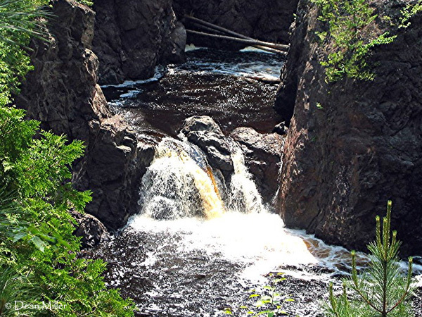
Bad River Canyon
Save this feature with the run it belongs to.
Gauge Conditions
Data from American Whitewater & USGS
Description
Yes, there are folks who have gotten into the canyon and made this run. The 'featured video' (mentioned in a comment below, and listed in the 'Quick Facts' above) begins with multiple runs of Wren Falls, then progresses to the lead-in, Copper Falls, and the canyon. (Wren Falls is on Tyler Fork which is a tributary of the Bad River which (many miles later) cascades over Brownstone Falls toward the end of the gorge and towards the end of this video.)
Location
Other Rapids on This Run (9)


View Full Run
B) Red Granite: Hwy.169 to Devil's Gate (PnH or 6.3 miles) ** ACCESS ISSUES **
Bad
III-V
3.6 mi
Hazard — Exercise extreme caution. Portage recommended — scout before running.
Current Conditions
5-Day Forecast
Whitewater data from
American Whitewater
American Whitewater