Take-out
WI
Take Out
Save this feature with the run it belongs to.
Gauge Conditions
Data from American Whitewater & USGS
Photo

Photo courtesy of American Whitewater
Description
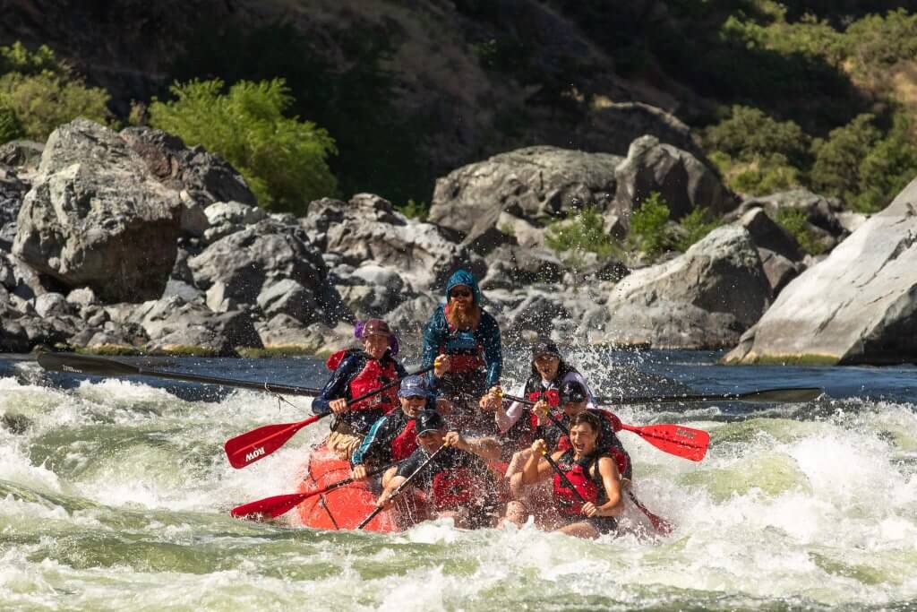
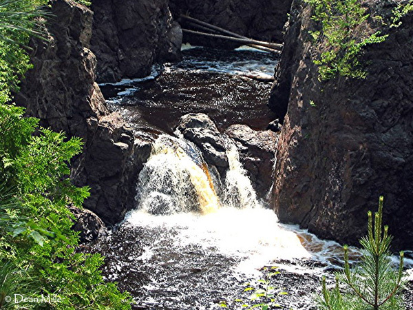
Take Out rapid presents complex navigation challenges with multiple potential line choices through a narrow, boulder-strewn channel. Paddlers must carefully read and react to shifting hydraulics and potential pin hazards among the granite rocks, requiring precise boat control and swift decision-making. Recommended scouting from shore due to potential blind drops and obscured riverbed features.
Location
Interactive river map
Loads as you approach this section.
Other Rapids on This Run (9)
View Full Run
B) Red Granite: Hwy.169 to Devil's Gate (PnH or 6.3 miles) ** ACCESS ISSUES **
Bad
III-V
3.6 mi
Current Conditions
5-Day Forecast
Whitewater data from
American Whitewater
American Whitewater