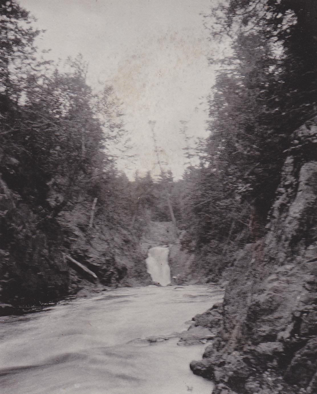
Copper Falls
Save this feature with the run it belongs to.
Gauge Conditions
Data from American Whitewater & USGS
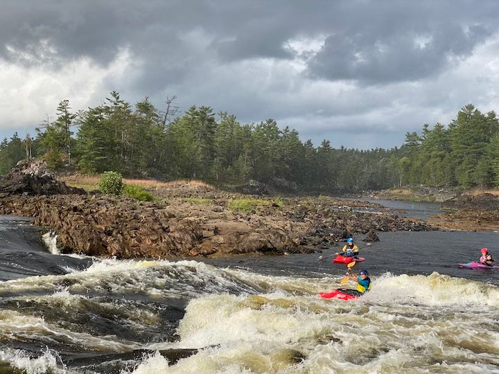
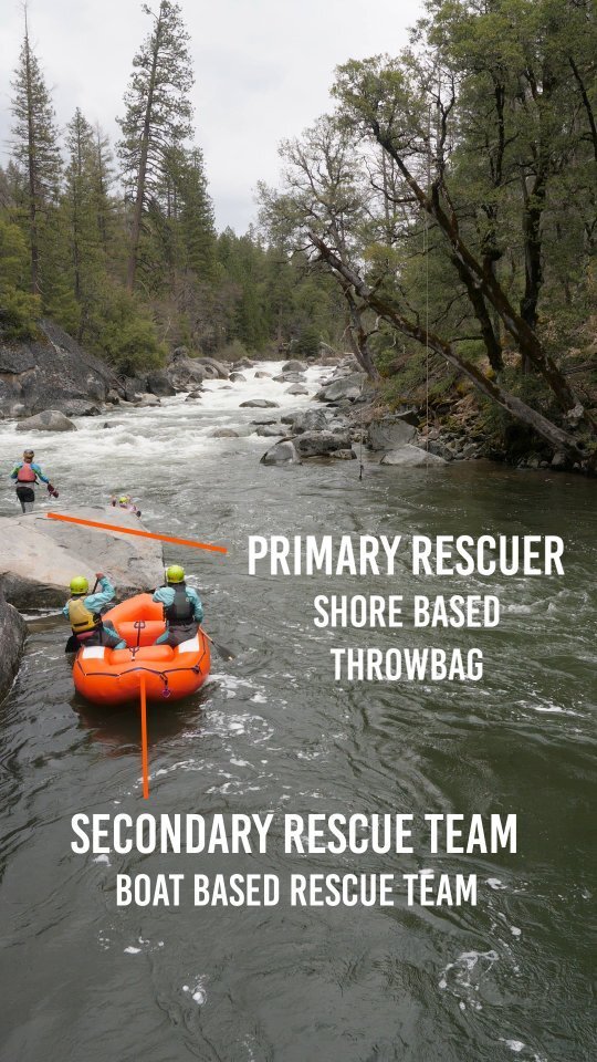
Photo
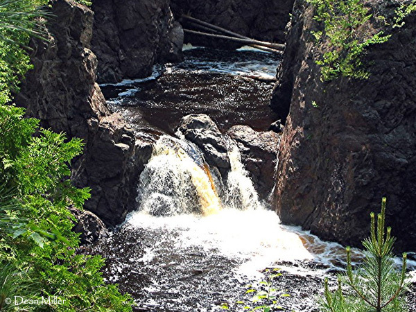
Photo courtesy of American Whitewater
Description
Access into the canyon below Copper Falls (listed as 28' total drop) is prohibited by Copper Falls State Park. Attempts to run the final half-mile to Devil's Gate may result in conflict with rangers. Access to Devil's Gate footbridge (first approved access point downstream of the falls) is via hiking trails in the park. Copper Falls itself appears to be a fairly simple drop (as falls go). The canyon downstream (at moderate-to-high flows) appears it could be a major handful. Scouting is anything from awkward, to difficult, to impossible.
Location
Other Rapids on This Run (9)

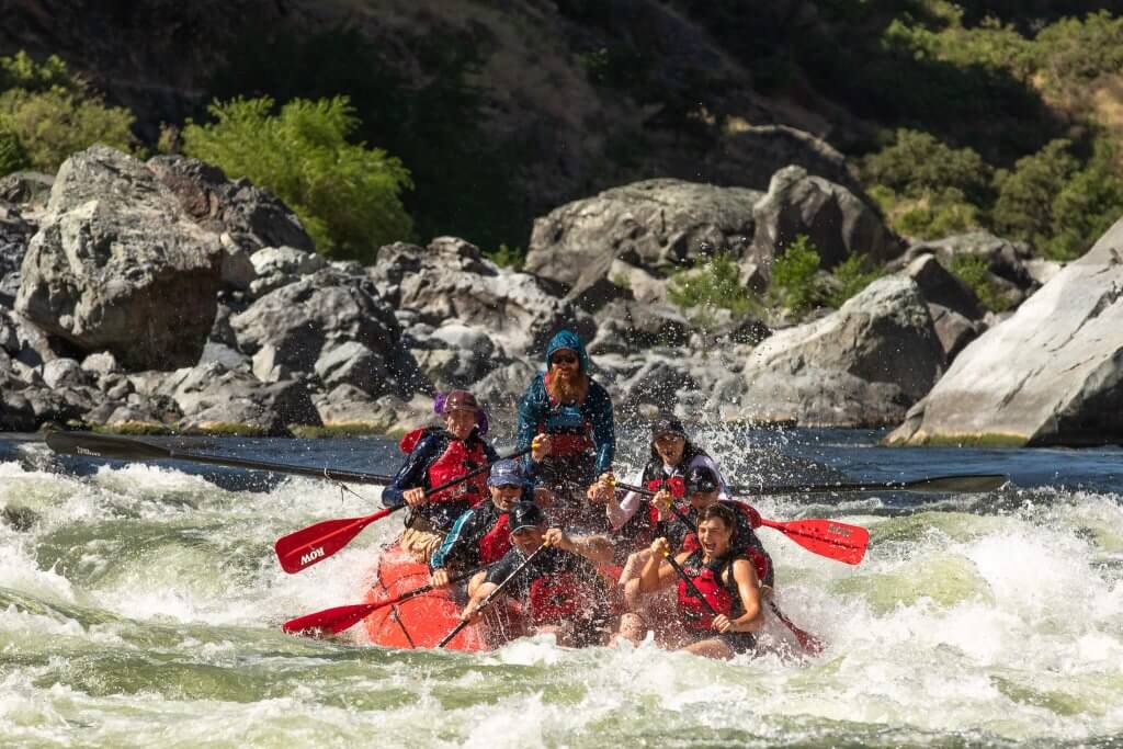

View Full Run
B) Red Granite: Hwy.169 to Devil's Gate (PnH or 6.3 miles) ** ACCESS ISSUES **
Bad
III-V
3.6 mi
Current Conditions
5-Day Forecast
Whitewater data from
American Whitewater
American Whitewater