Forest Rd 166 to falls above Hwy 61 (8.5 miles)
Gauge Conditions
Runnable: ? – ? CFS
Approximate reading: This gauge is 24.0 miles away on Cross. Use as a general reference only.
Data from American Whitewater & USGS
Run Map
Run Time Estimate
Select put-in and take-out to estimate time.
Plan This Trip
See wind-adjusted speed maps, forecast planning, and detailed time estimates.
Sign in to generate an AI timing estimate for this run.
Whitewater timing varies with scouting, portages, and group pace. Use as a planning baseline.
Description
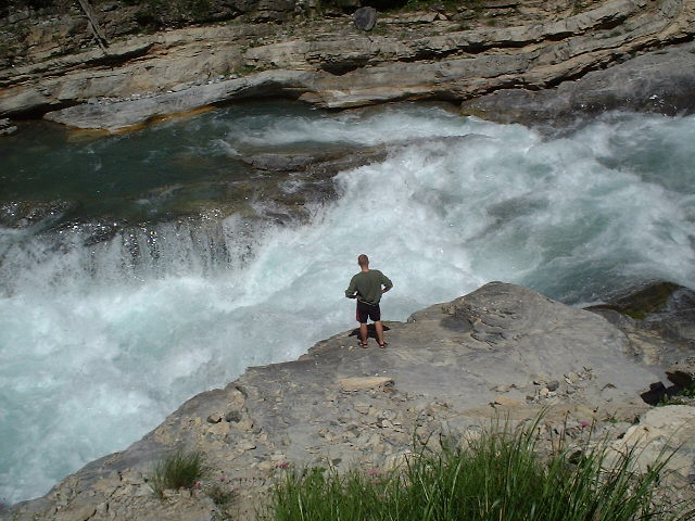
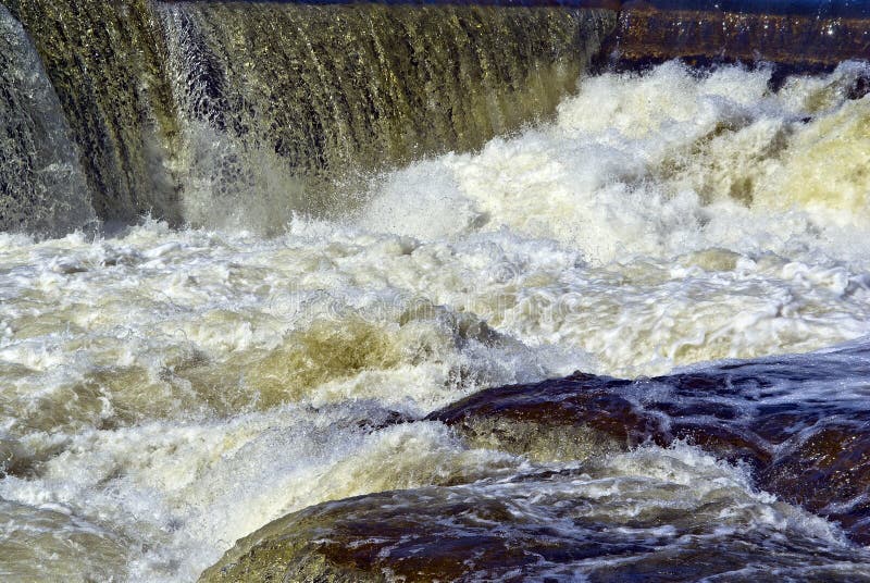
This is a fairly long run, with numerous mandatory portages (for most mere mortal paddlers, anyway). A long eddyless section preceeds one of the mandatory portages. Extreme caution should be used.
The first roughly half of the run (about 4 miles at 45fpm) is SIGNIFICANTLY tamer than the latter half (4.5 miles at 160fpm). Access may be possible via Schroeder-Tofte Road/4 to do less than the whole segment, however that stub may be impassible early season.
Rapids in this Run (11)
 Rapid
II
Rapid
II
Start of a nice sequence
 Rapid
II
Rapid
II
Island Rips
 Rapid
III
Rapid
III
slightly more significant drop
 Rapid
Rapid
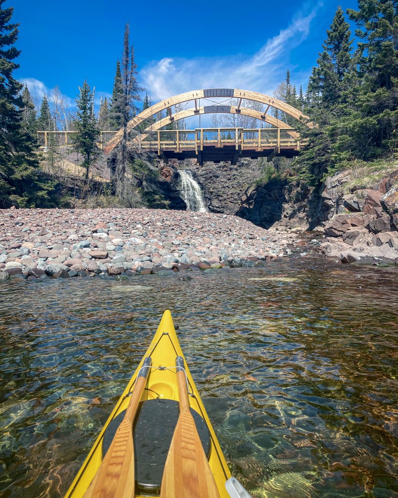
Island and bridge
 Rapid
III
Rapid
III
Significant rocky outcropping
 Rapid
Rapid
Stumble Creek
 Rapid
Rapid
Superior Hiking Trail
 Rapid
III
Rapid
III
Significant rocky drop
 Rapid
Rapid
Significant Drop / SHT
 Rapid
Rapid
SHT bridge
 Rapid
Rapid
USGS site


Hazards & Portages (3)
Caution: The following locations may require scouting or portaging. Always check current conditions.

Difficulty
Class II-V
Length
7.6 mi
Gradient
110 ft/mi
max 260
Rapids
11
2 Hazards
1 Portage
Access Points
Difficulty Classes
I Easy
II Novice
III Intermediate
IV Advanced
V Expert/Extreme
VI Unrunnable
Current Conditions
5-Day Forecast
Whitewater data from
American Whitewater
American Whitewater