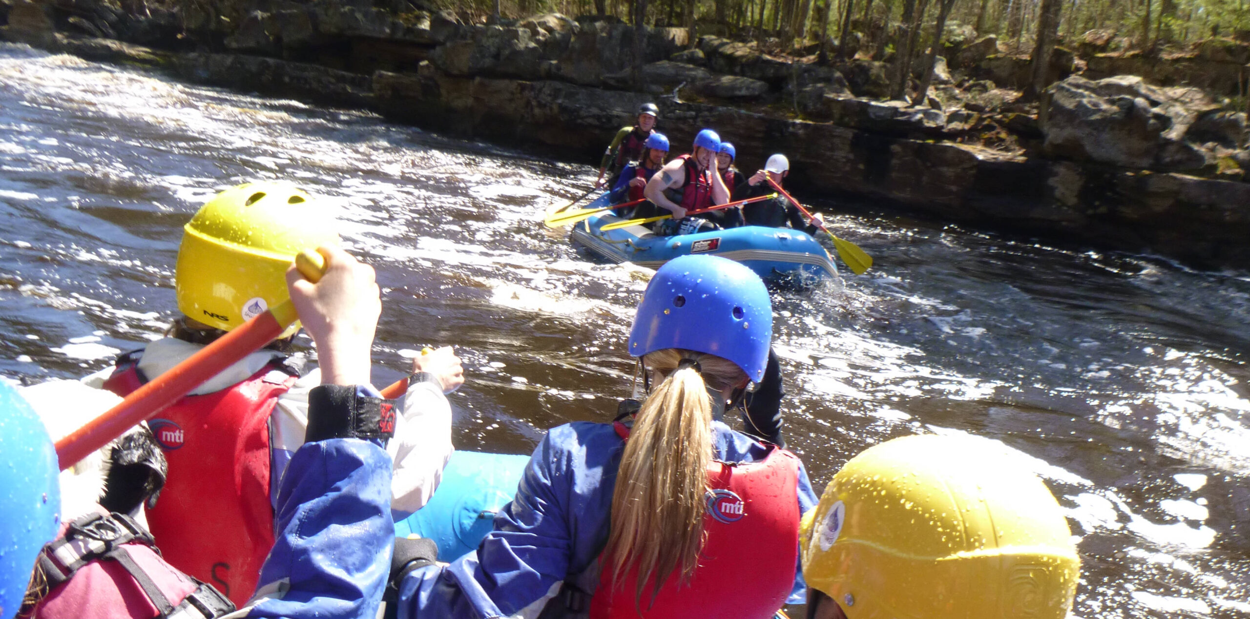
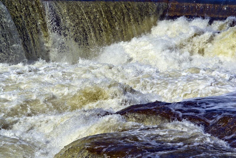
Waterfall
MN
major drop
Save this feature with the run it belongs to.
Gauge Conditions
Runnable: ? – ? CFS
Approximate - nearest available gauge. Use as general reference only.
Data from American Whitewater & USGS
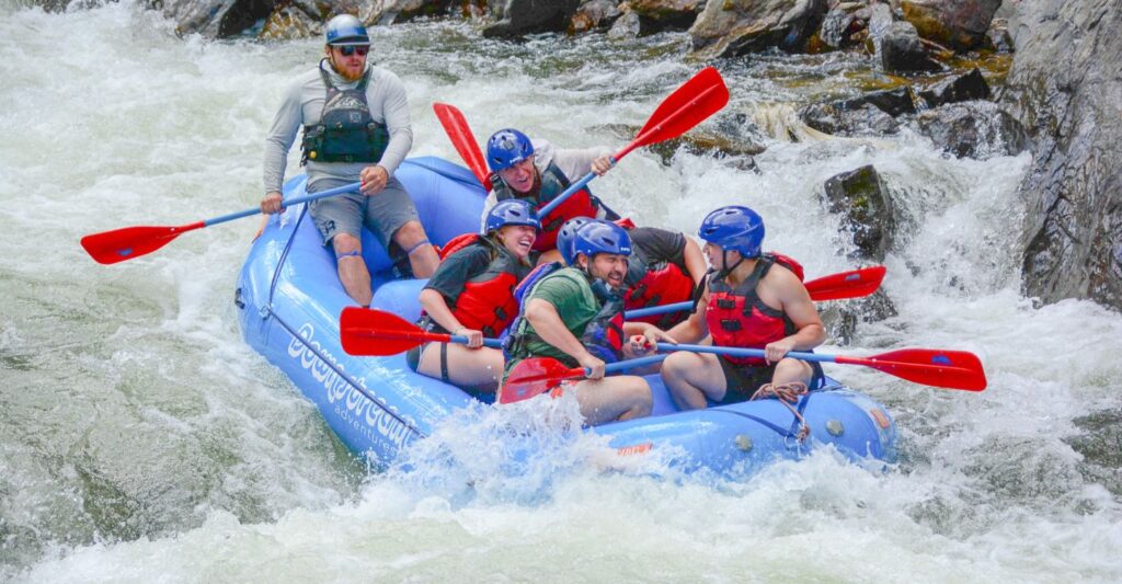
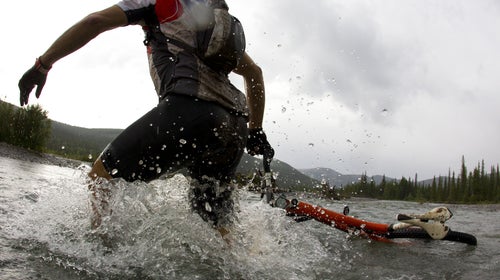
Photo

Photo courtesy of American Whitewater
Description
This major drop features a significant waterfall that demands precise navigation and expert-level skill. Paddlers must carefully scout the drop, identify the cleanest line, and be prepared for potential hydraulic recirculation at the base of the falls, which could create a dangerous entrapment scenario. The narrow channel and surrounding rocky terrain require absolute technical precision to successfully navigate this challenging waterfall.
Location
Interactive river map
Loads as you approach this section.
Other Rapids on This Run (16)
 Rapid
N/A
Rapid
N/A
Put In
 Rapid
II
Rapid
II
Start of a nice sequence
 Rapid
II
Rapid
II
Island Rips
 Rapid
III
Rapid
III
slightly more significant drop
 Rapid
N/A
Rapid
N/A
Island and bridge
 Rapid
III
Rapid
III
Significant rocky outcropping
 Rapid
N/A
Rapid
N/A
Stumble Creek
 Rapid
N/A
Rapid
N/A
Superior Hiking Trail
 Rapid
III
Rapid
III
Significant rocky drop
 Rapid
N/A
Rapid
N/A
Significant Drop / SHT
 Waterfall
N/A
Waterfall
N/A
Major drop sequence
 Portage
N/A
Portage
N/A
Prepare to exit
 Waterfall
N/A
Waterfall
N/A
Major drop
 Rapid
N/A
Rapid
N/A
SHT bridge
 Rapid
N/A
Rapid
N/A
Take Out
 Rapid
N/A
Rapid
N/A
USGS site
View Full Run
Forest Rd 166 to falls above Hwy 61 (8.5 miles)
Cross
II-V
7.6 mi
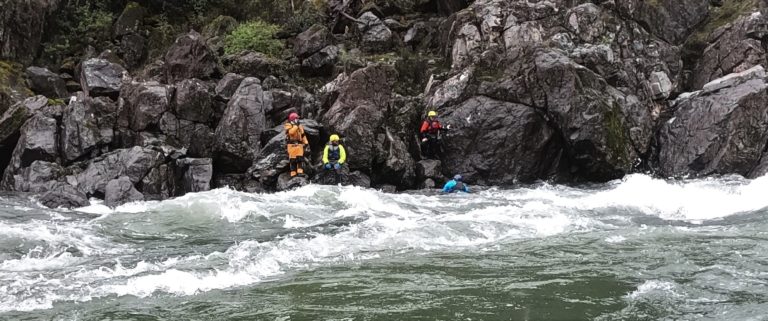
Hazard — Exercise extreme caution in this area.
Current Conditions
5-Day Forecast
Whitewater data from
American Whitewater
American Whitewater