Rapid
MN
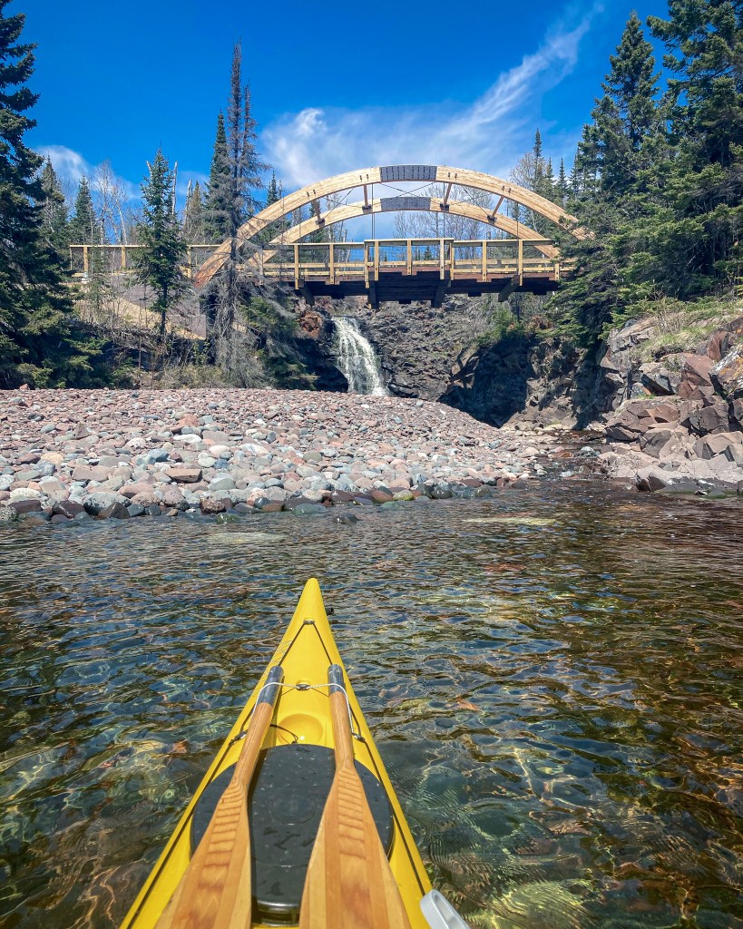
SHT bridge
Save this feature with the run it belongs to.
Gauge Conditions
Runnable: ? – ? CFS
Approximate - nearest available gauge. Use as general reference only.
Data from American Whitewater & USGS
Photo
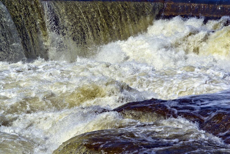
Photo courtesy of American Whitewater
Description
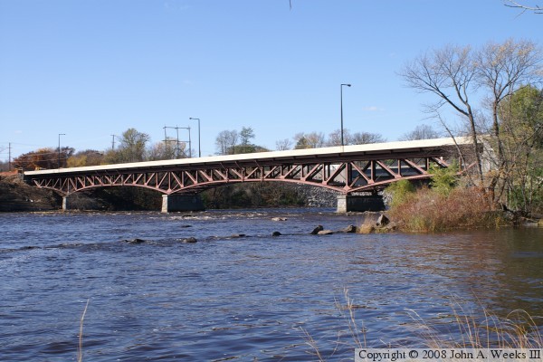
A bridge offers a look at the river upstream and down, if you care to take the detour on your carry out. IIRC, the view from the bridge is not particulary exceptional, but downstream around a bend (where there are houses up on shore, precluding much casual access for viewing) the river drops some serious final gradient heading down to Hwy.61 before easing off for the remaining short distance to Lake Superior.
Location
Interactive river map
Loads as you approach this section.
Other Rapids on This Run (16)
 Rapid
N/A
Rapid
N/A
Put In
 Rapid
II
Rapid
II
Start of a nice sequence
 Rapid
II
Rapid
II
Island Rips
 Rapid
III
Rapid
III
slightly more significant drop
 Rapid
N/A
Rapid
N/A
Island and bridge
 Rapid
III
Rapid
III
Significant rocky outcropping
 Rapid
N/A
Rapid
N/A
Stumble Creek
 Rapid
N/A
Rapid
N/A
Superior Hiking Trail
 Rapid
III
Rapid
III
Significant rocky drop
 Waterfall
N/A
Waterfall
N/A
major drop
 Rapid
N/A
Rapid
N/A
Significant Drop / SHT
 Waterfall
N/A
Waterfall
N/A
Major drop sequence
 Portage
N/A
Portage
N/A
Prepare to exit
 Waterfall
N/A
Waterfall
N/A
Major drop
 Rapid
N/A
Rapid
N/A
Take Out
 Rapid
N/A
Rapid
N/A
USGS site
View Full Run
Forest Rd 166 to falls above Hwy 61 (8.5 miles)
Cross
II-V
7.6 mi
Current Conditions
5-Day Forecast
Whitewater data from
American Whitewater
American Whitewater