Rapid
MN
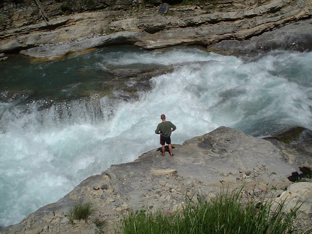
Significant Drop / SHT
Save this feature with the run it belongs to.
Gauge Conditions
Runnable: ? – ? CFS
Approximate - nearest available gauge. Use as general reference only.
Data from American Whitewater & USGS
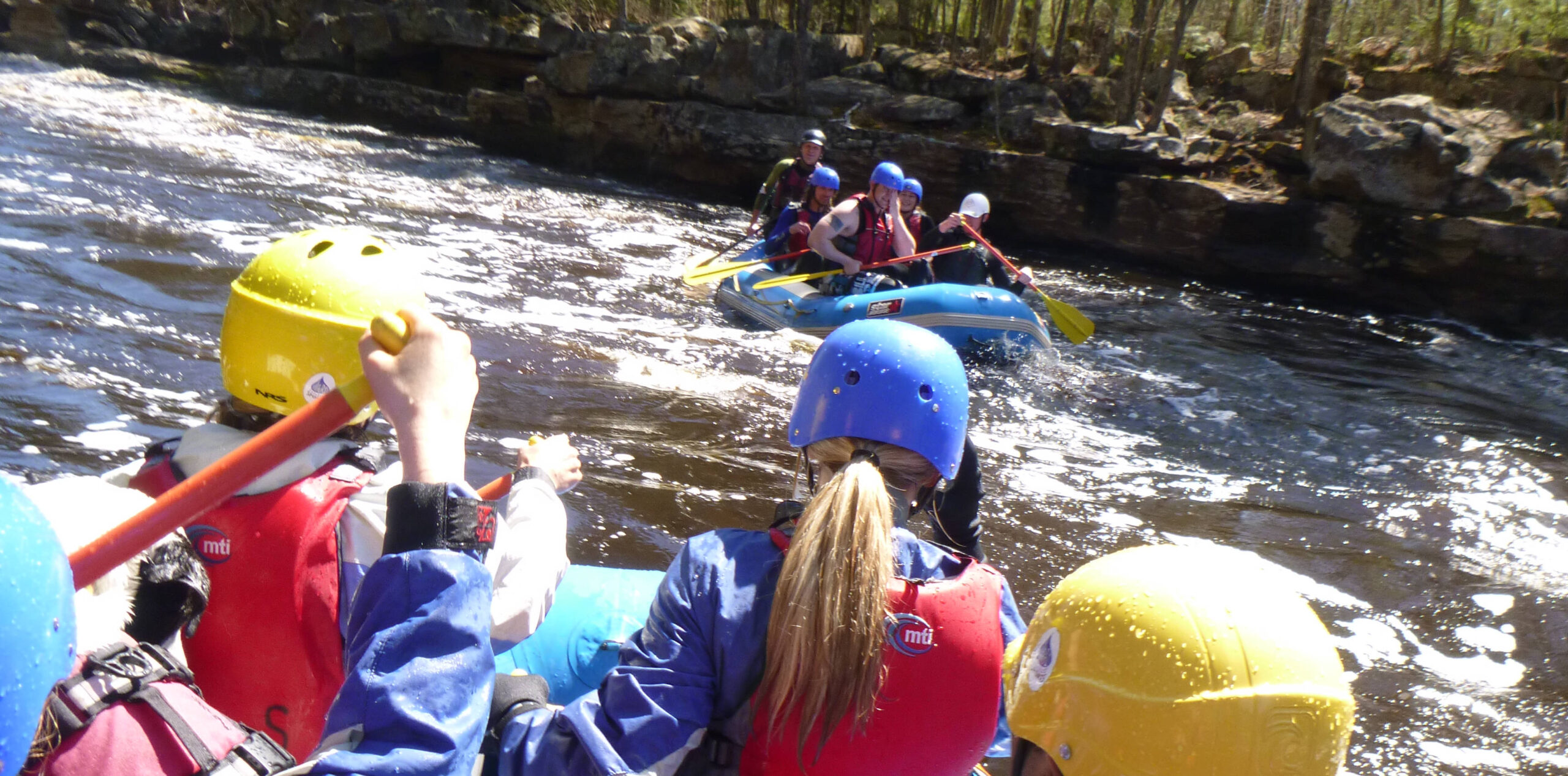
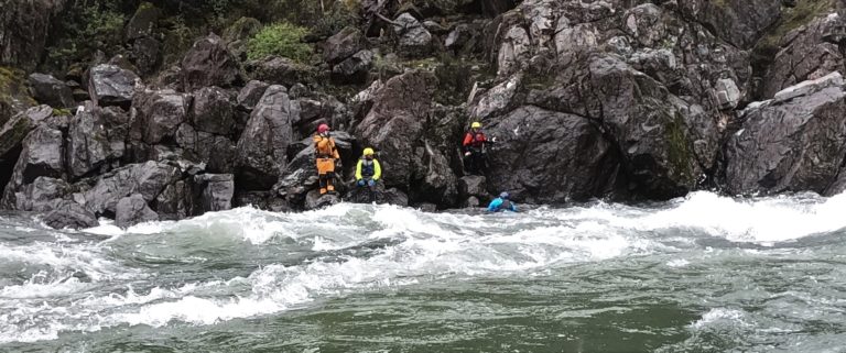
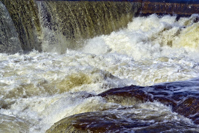
Photo

Photo courtesy of American Whitewater
Description
Approaching a bridge/crossing of the Superior Hiking Trail, there appears to be quite a significant rapids. Afterwards, the river heads round a quarter-mile loop away from the trail, but soon swings back Easterly, encountering a large island (majority flow river-left) before a right-bend where it resumes a SSE direction. From this point, the "Cross River Spur" (of the Superior Hiking Trail) is fairly immediately to river-left for most the rest of the run.
Location
Interactive river map
Loads as you approach this section.
Other Rapids on This Run (16)
 Rapid
N/A
Rapid
N/A
Put In
 Rapid
II
Rapid
II
Start of a nice sequence
 Rapid
II
Rapid
II
Island Rips
 Rapid
III
Rapid
III
slightly more significant drop
 Rapid
N/A
Rapid
N/A
Island and bridge
 Rapid
III
Rapid
III
Significant rocky outcropping
 Rapid
N/A
Rapid
N/A
Stumble Creek
 Rapid
N/A
Rapid
N/A
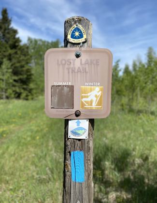
Superior Hiking Trail
 Rapid
III
Rapid
III
Significant rocky drop
 Waterfall
N/A
Waterfall
N/A
major drop
 Waterfall
N/A
Waterfall
N/A
Major drop sequence
 Portage
N/A
Portage
N/A
Prepare to exit
 Waterfall
N/A
Waterfall
N/A
Major drop
 Rapid
N/A
Rapid
N/A
SHT bridge
 Rapid
N/A
Rapid
N/A
Take Out
 Rapid
N/A
Rapid
N/A
USGS site
View Full Run
Forest Rd 166 to falls above Hwy 61 (8.5 miles)
Cross
II-V
7.6 mi
Current Conditions
5-Day Forecast
Whitewater data from
American Whitewater
American Whitewater