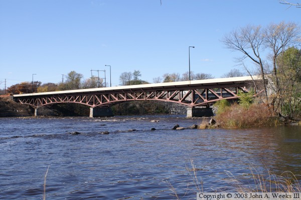
USGS site
Save this feature with the run it belongs to.
Gauge Conditions
Approximate - nearest available gauge. Use as general reference only.
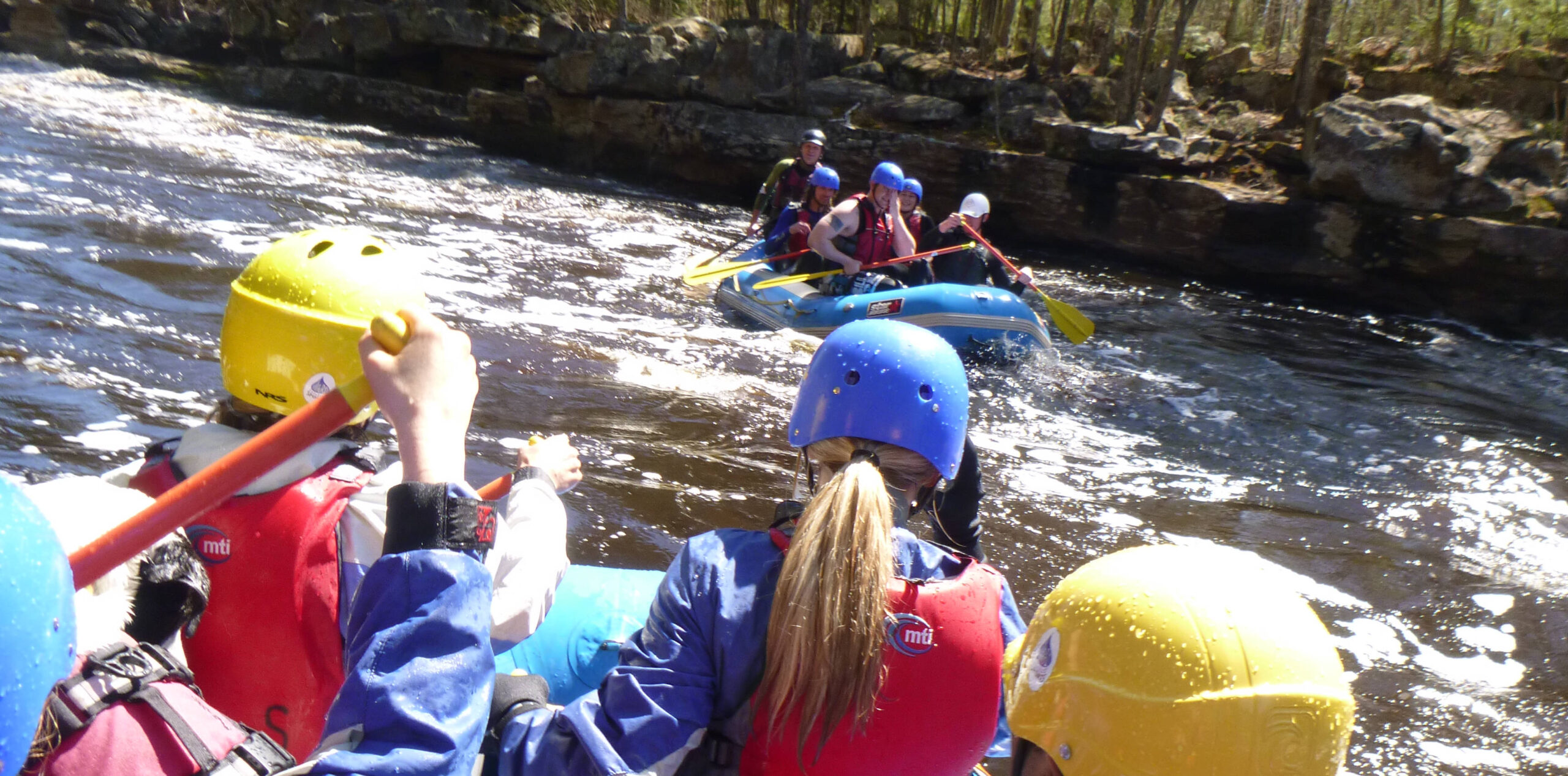
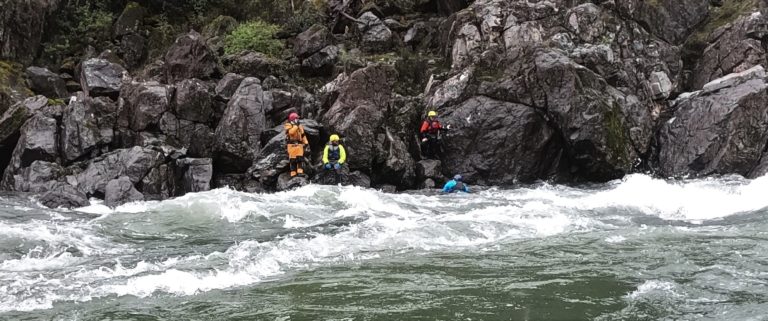
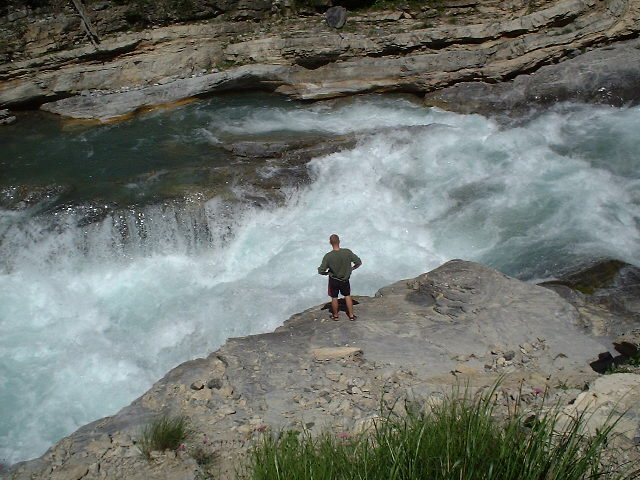
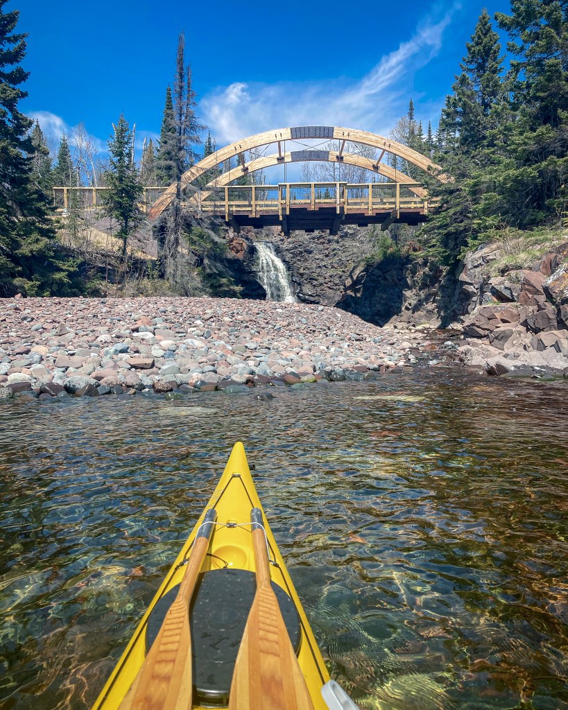
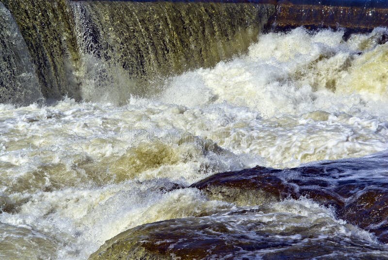
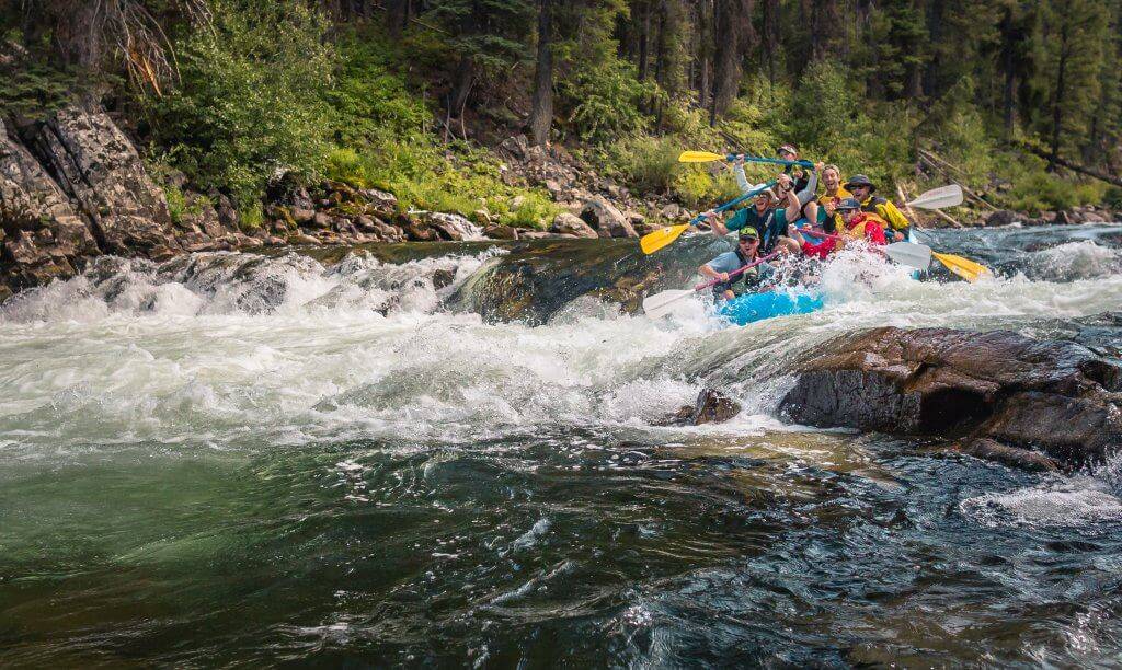
Photo
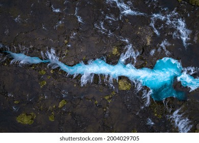
Description
USGS lists a sampling site (for random "Field Measurements") with 91 square mile drainage. Oddly, the coordinates given (in two different ways on two different listings) do not map all that close to the river (apparently the data layers are not in sync). No description is provided, so we do not know if the site is at Hwy.61 (as we are displaying) or somewhere slightly upstream or down. The purpose of including this info is primarily for better understanding the relative sizes of these North Shore rivers' watersheds, to understand their likelihood of adequate flows. This information puts this as 8th-largest) of the nearly three dozen (mostly random-sampling, not real-time) sites USGS has on the North Shore.
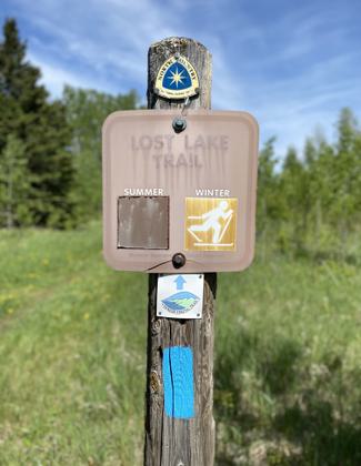
Location
Other Rapids on This Run (16)
 Rapid
N/A
Rapid
N/A
 Rapid
II
Rapid
II
 Rapid
II
Rapid
II
 Rapid
III
Rapid
III
 Rapid
N/A
Rapid
N/A
 Rapid
III
Rapid
III
 Rapid
N/A
Rapid
N/A
 Rapid
N/A
Rapid
N/A
 Rapid
III
Rapid
III
 Waterfall
N/A
Waterfall
N/A
 Rapid
N/A
Rapid
N/A
 Waterfall
N/A
Waterfall
N/A
 Portage
N/A
Portage
N/A
 Waterfall
N/A
Waterfall
N/A
 Rapid
N/A
Rapid
N/A
 Rapid
N/A
Rapid
N/A
Current Conditions
5-Day Forecast
American Whitewater