Rapid
MN
Island and bridge
Save this feature with the run it belongs to.
Gauge Conditions
Runnable: ? – ? CFS
Approximate - nearest available gauge. Use as general reference only.
Data from American Whitewater & USGS
Photo
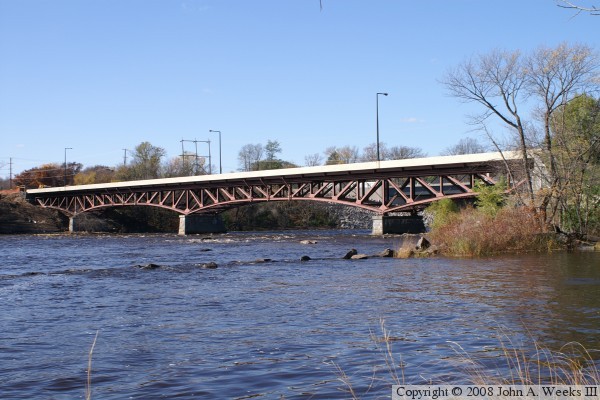
Photo courtesy of American Whitewater
Description
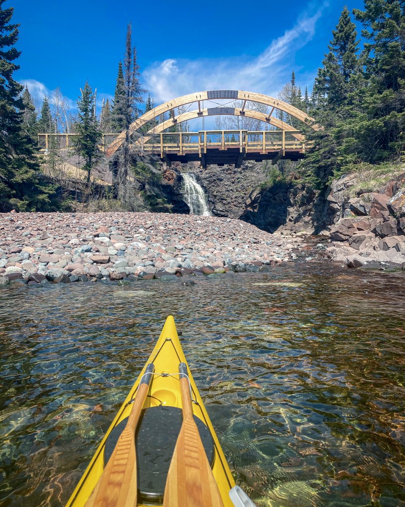
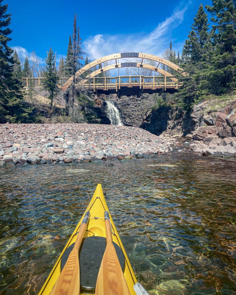
A long, thin island splits the river (major flow goes right). After about a tenth of a mile, as the island ends, a bridge is encountered. (Appears to be a single-track truck trail or snomobile trail; No forest road or trail is indicated here on the online maps.)
Location
Interactive river map
Loads as you approach this section.
Other Rapids on This Run (16)
 Rapid
N/A
Rapid
N/A
Put In
 Rapid
II
Rapid
II
Start of a nice sequence
 Rapid
II
Rapid
II
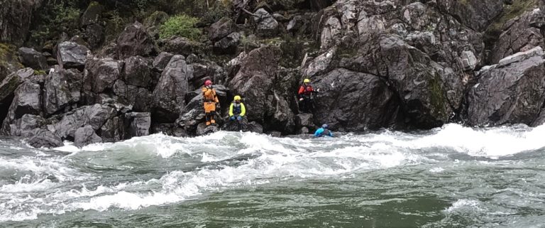
Island Rips
 Rapid
III
Rapid
III
slightly more significant drop
 Rapid
III
Rapid
III
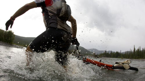
Significant rocky outcropping
 Rapid
N/A
Rapid
N/A
Stumble Creek
 Rapid
N/A
Rapid
N/A
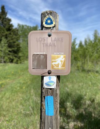
Superior Hiking Trail
 Rapid
III
Rapid
III
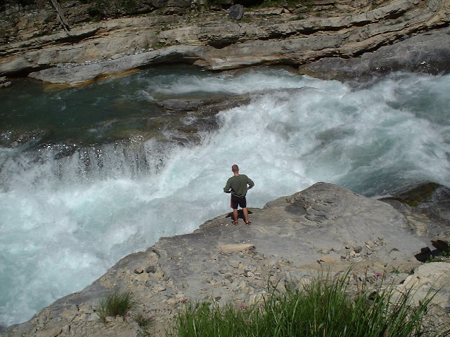
Significant rocky drop
 Waterfall
N/A
Waterfall
N/A
major drop
 Rapid
N/A
Rapid
N/A
Significant Drop / SHT
 Waterfall
N/A
Waterfall
N/A
Major drop sequence
 Portage
N/A
Portage
N/A
Prepare to exit
 Waterfall
N/A
Waterfall
N/A
Major drop
 Rapid
N/A
Rapid
N/A
SHT bridge
 Rapid
N/A
Rapid
N/A
Take Out
 Rapid
N/A
Rapid
N/A
USGS site
View Full Run
Forest Rd 166 to falls above Hwy 61 (8.5 miles)
Cross
II-V
7.6 mi
Current Conditions
5-Day Forecast
Whitewater data from
American Whitewater
American Whitewater