Copper Mine rapid
Save this feature with the run it belongs to.
Gauge Conditions
Data from American Whitewater & USGS
Photo
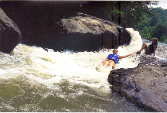
Photo courtesy of American Whitewater
Description
A three-level drop, the first of which is the most challenging. At normal water levels, the usual path is slightly to the left of rock located just to the right of midstream. SEE DETAILS AT CHESTATEE SECTION 2 (AW REACH #3388).
Location
Other Rapids on This Run (6)


View Full Run
3 - Copper Mine to Lumpkin County Park
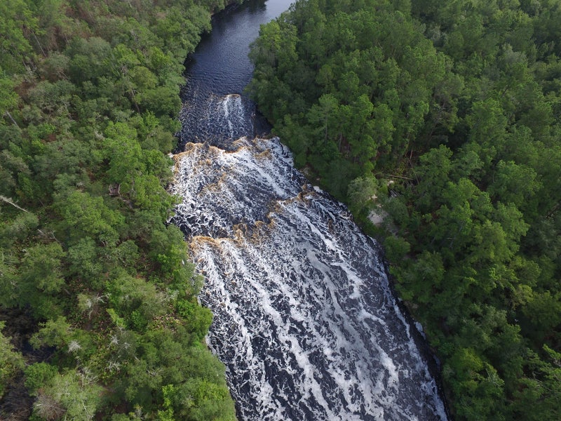
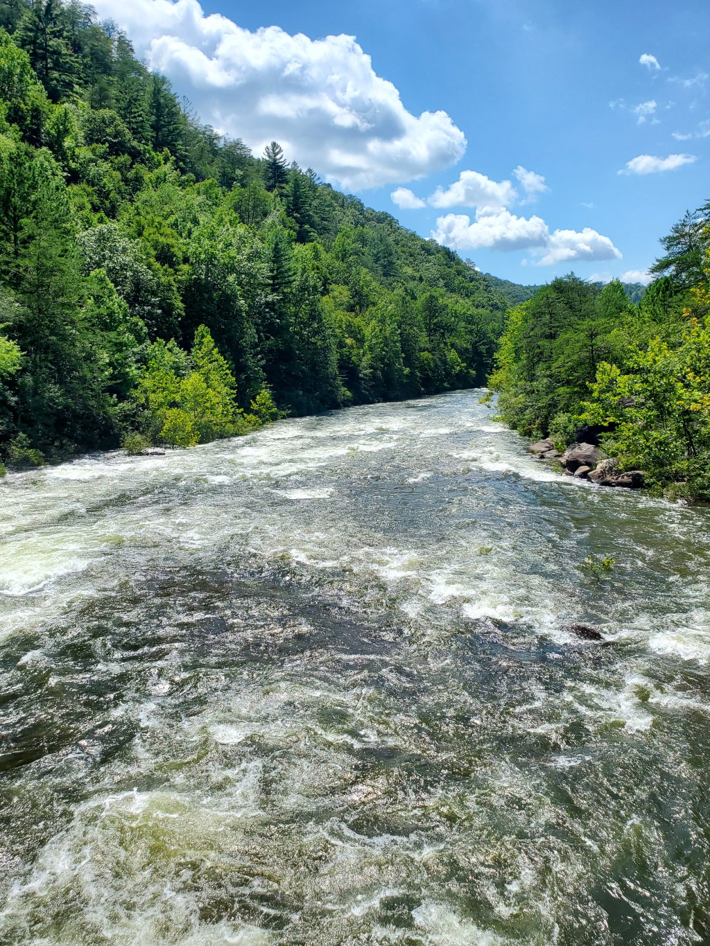
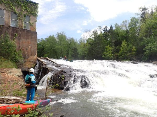
Chestatee
I-II(III)
28.9 mi
Hazard — Exercise extreme caution in this area.
Current Conditions
5-Day Forecast
Whitewater data from
American Whitewater
American Whitewater