Gold Digger Shoals
Save this feature with the run it belongs to.
Gauge Conditions
Data from American Whitewater & USGS
Photo
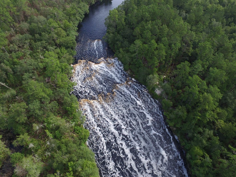
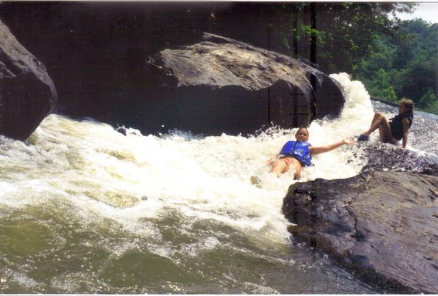
Photo courtesy of American Whitewater
Description
An alternate put-in/take-out on Highway 60. Less traffic danger if you park and access the river from the large parking lot at the fruit stand, but ask permission if open. Gold Digger Shoals begins at the bridge and extends just around the turn to the right: the best line to avoid scraping or hanging up is near the left bank.
Location


View Full Run
3 - Copper Mine to Lumpkin County Park
Chestatee
I-II(III)
28.9 mi
Hazard — Exercise extreme caution in this area.
Current Conditions
5-Day Forecast
Whitewater data from
American Whitewater
American Whitewater