Rapid
WI
Hank Aaron State Trail / Selig Drive
Save this feature with the run it belongs to.
Gauge Conditions
Runnable: 125.0 – 3,000.0 CFS
Float trip with (grungy) riffles and rips.
Data from American Whitewater & USGS
Description
After the second railroad trestle, you'll pass under Interstate-94 and will be flanked by parking lots for Milwaukee's baseball stadium (now branded "American Family Insurance Park").
Most of the area is gated when there is no game or other event, and will be full and likely cost you when there is a game or event. Thus, we find it hard to recommend continuing past our listed take-out.
Downstream to the harbor, the river will be featureless, flat, flowing water at all but the most outrageous of flows.
Location
Interactive river map
Loads as you approach this section.
Other Rapids on This Run (20)
Rapid
N/A
NOTICE!
Rapid
N/A
Alternate Put-in: Red Store Lot
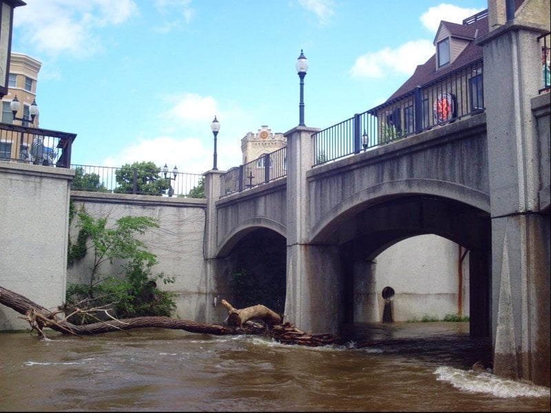 Hazard
N/A
Hazard
N/A
Pedestrian Bridge (Tosa Plaza)
Rapid
N/A
**Put-in: Hart Park**
Rapid
N/A
Alternate Put-in #2: Tosa Farmers Market lot
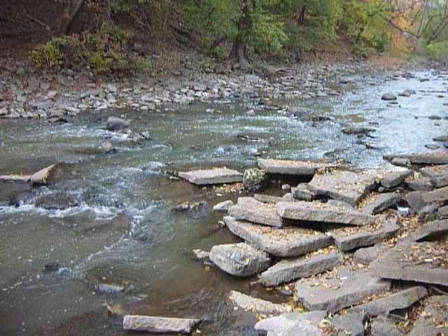 Rapid
II
Rapid
II
Hart Park Rips (HPR)
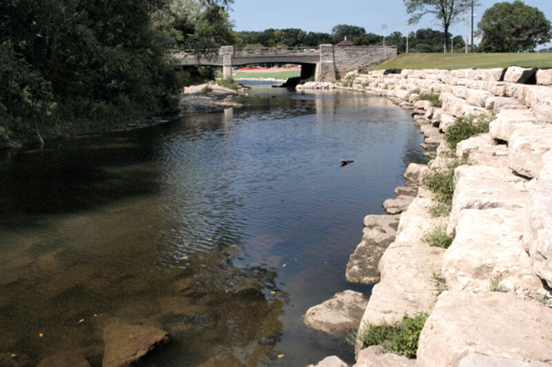 Playspot
I
Playspot
I
Bikeway Bridge (Hart Park)
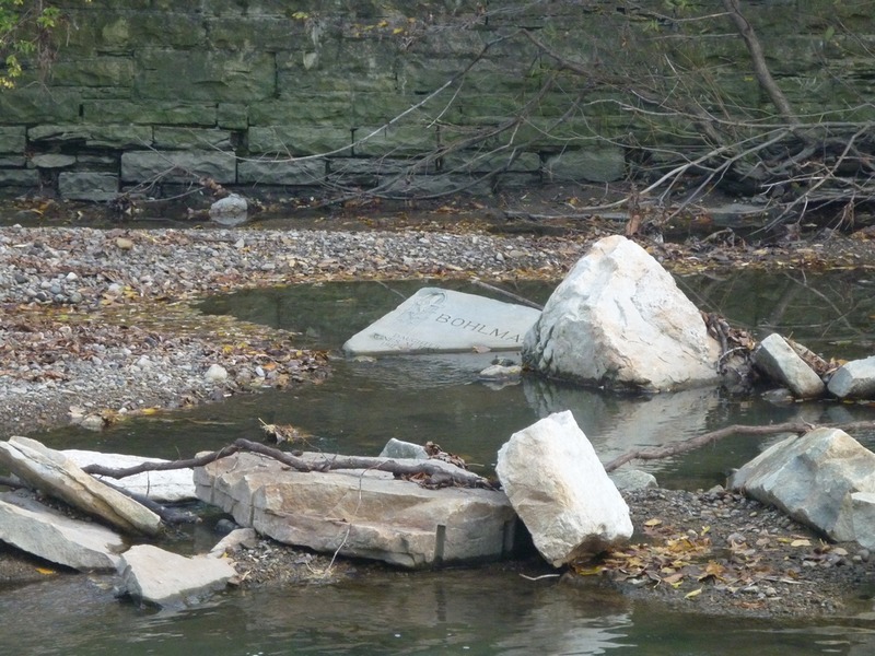 Playspot
I
Playspot
I
Confluence with Honey Creek (10.3 sq.mi.)
Rapid
N/A
USGS Gauge: 123 sq.mi.
Rapid
N/A
Parkway Access
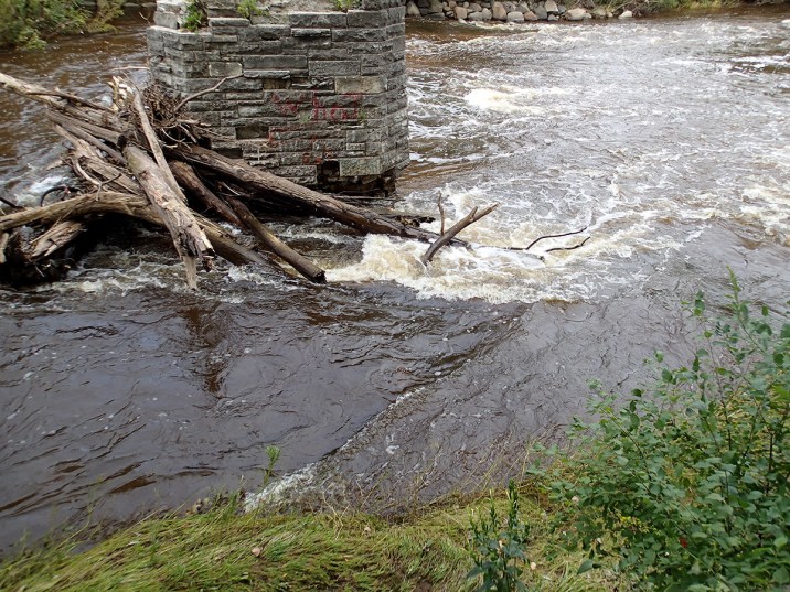 Hazard
II+
Hazard
II+
Jacobus Bridge Pier (JBP)
Rapid
N/A
Cleft-Rock
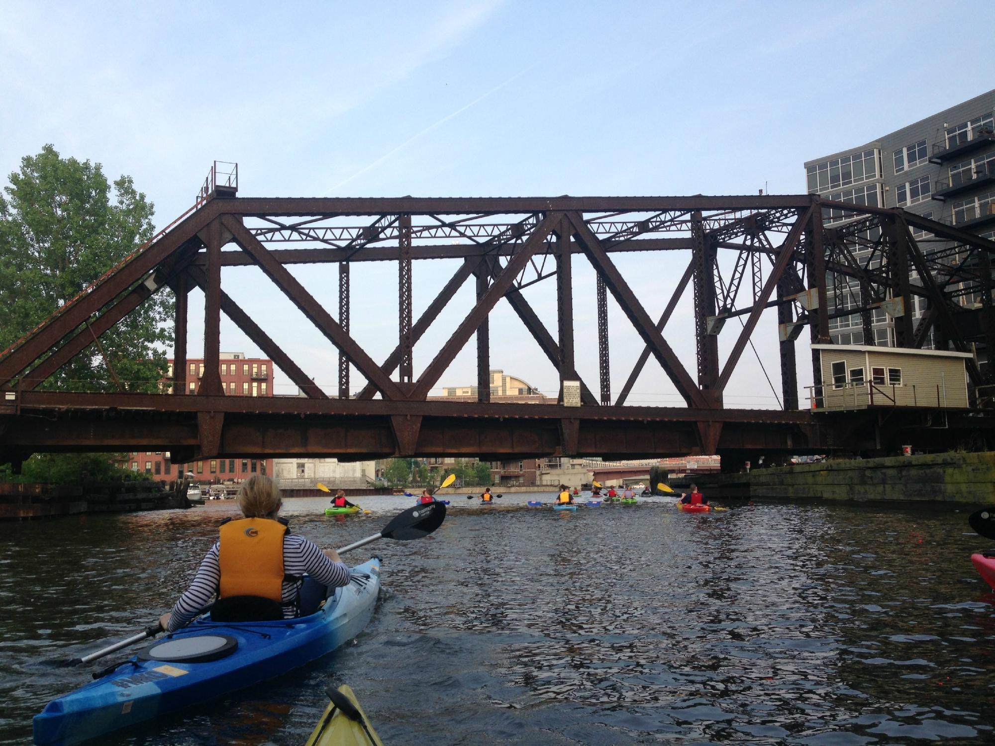 Playspot
II
Playspot
II
Trenton Waves
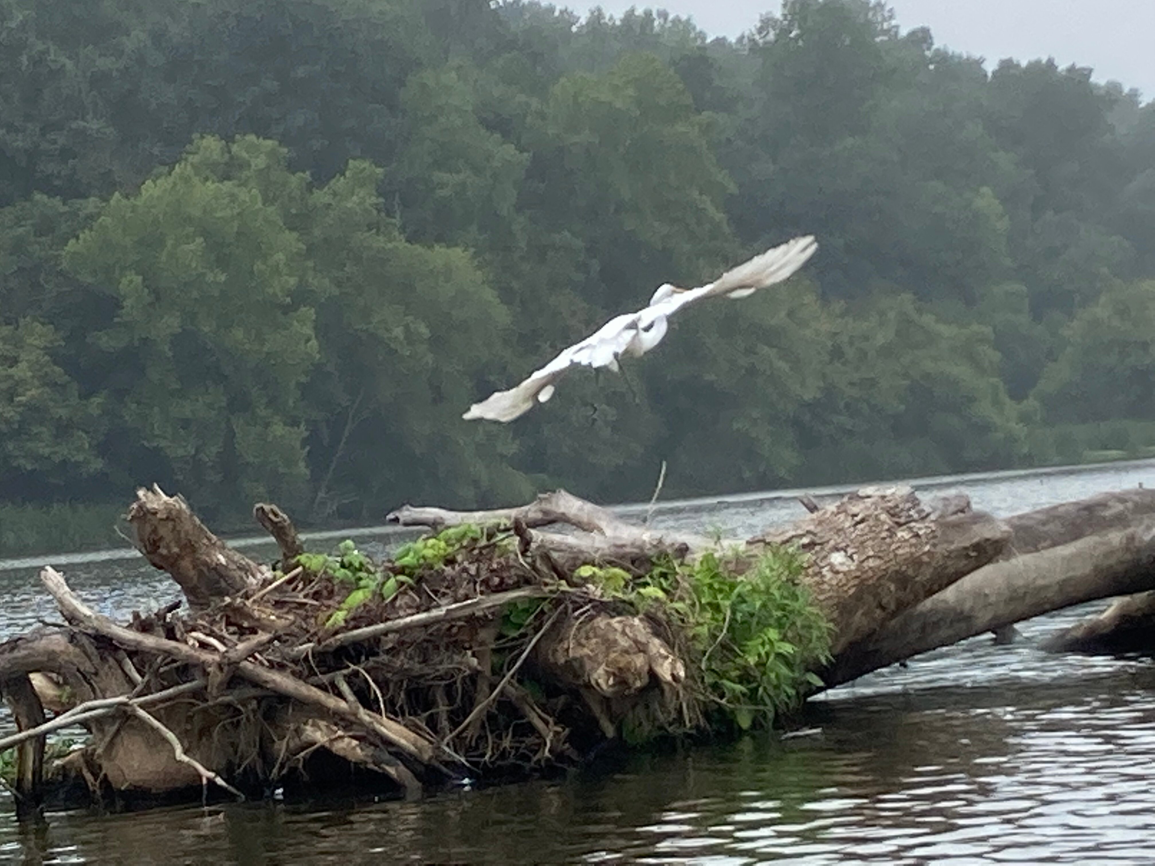 Playspot
II+
Playspot
II+
Hawley-Wood Hole (HWH)
 Playspot
N/A
Playspot
N/A
Little Ender Spot (LES)
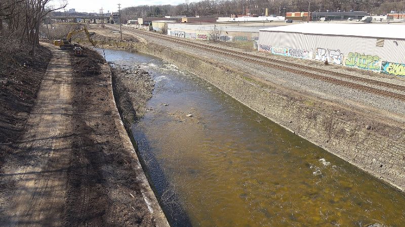 Playspot
II
Playspot
II
Doyne Park Waves (DPW)
Rapid
N/A
Slabs
 Playspot
II
Playspot
II
Zig Zag Wall Wave
 Hazard
II
Hazard
II
Railroad Rips (RRR)
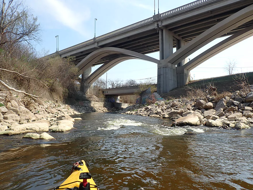 Playspot
II
Playspot
II
Remediation Rips
View Full Run
C) MenTosa: Hart Park Lane to W.Monarch Place or 4198 W.St.Paul Avenue (2.7 or 3.7 miles)
Menomonee
II-III
3.7 mi
Current Conditions
5-Day Forecast
Whitewater data from
American Whitewater
American Whitewater