Take-out
CA
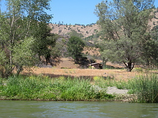
Rusty Truck
Save this feature with the run it belongs to.
Gauge Conditions
Data from American Whitewater & USGS
CDEC Flow Data California
Data from California Data Exchange Center (CDEC)
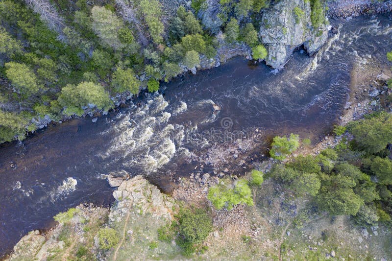
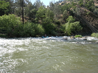
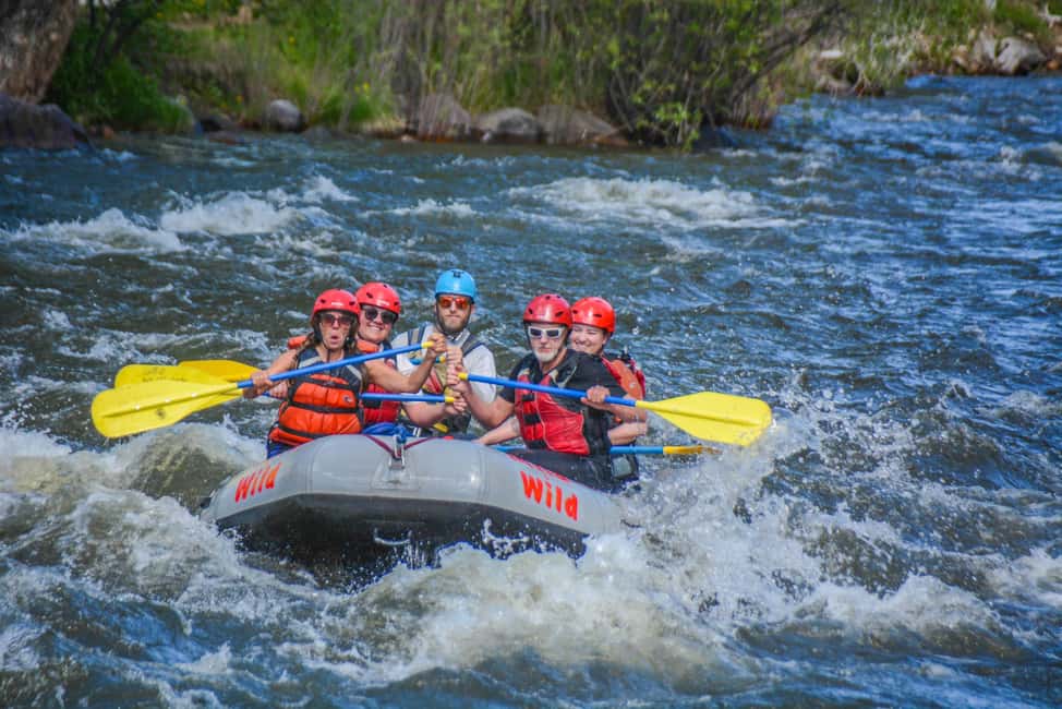
Photo
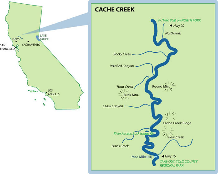
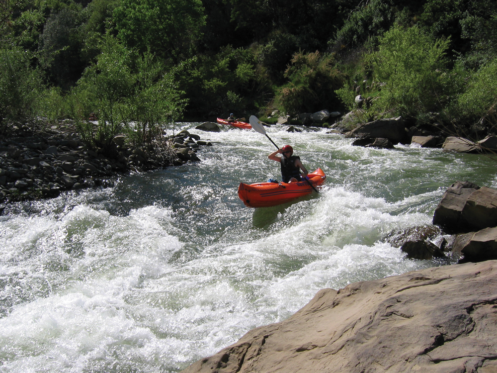
Photo courtesy of American Whitewater
Description
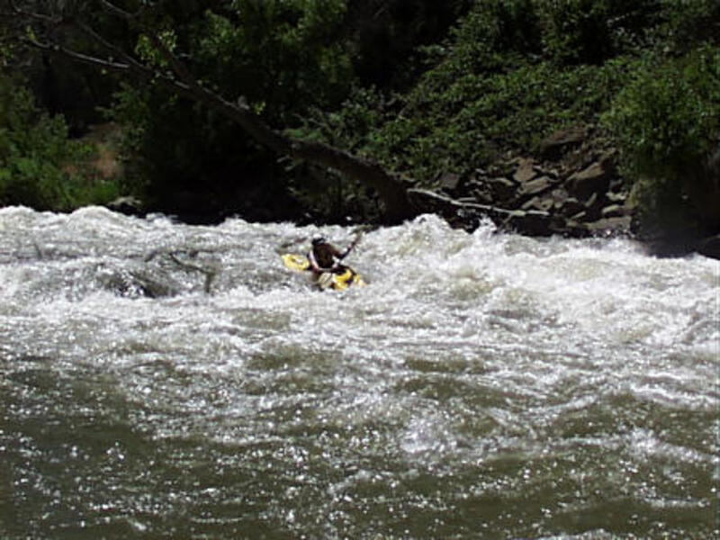
This is a possible take out. It is at the confluence with Bear Creek and it is where you will see Highway 16 and Civilization for the first time in a while. There was an old dump truck abandoned here for many years. It was removed in 2002.
Location
Interactive river map
Loads as you approach this section.
View Full Run
1) Hwy 20 to the Bear Creek Confluence
Cache Creek
II(III)
18.9 mi
Current Conditions
5-Day Forecast
Whitewater data from
American Whitewater
American Whitewater