Rapid
CA
Yolo County - Upper Site
Save this feature with the run it belongs to.
Gauge Conditions
Data from American Whitewater & USGS
CDEC Flow Data California
Data from California Data Exchange Center (CDEC)
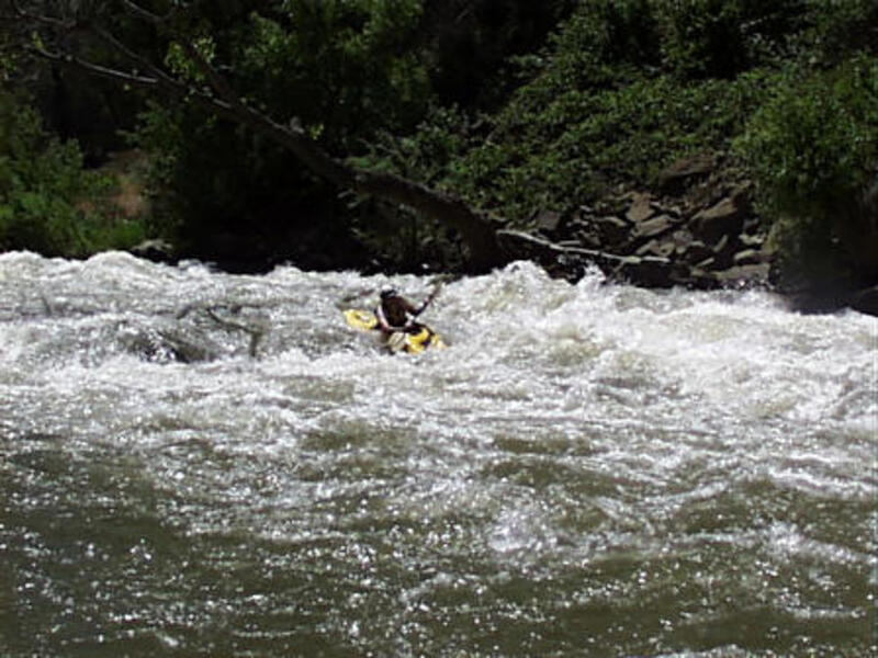
Photo
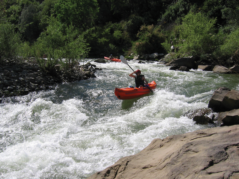
Photo courtesy of American Whitewater
Description
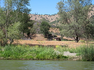
This is often a better take out. It will cost $3 if you leave a car here but you can get very close to the water.
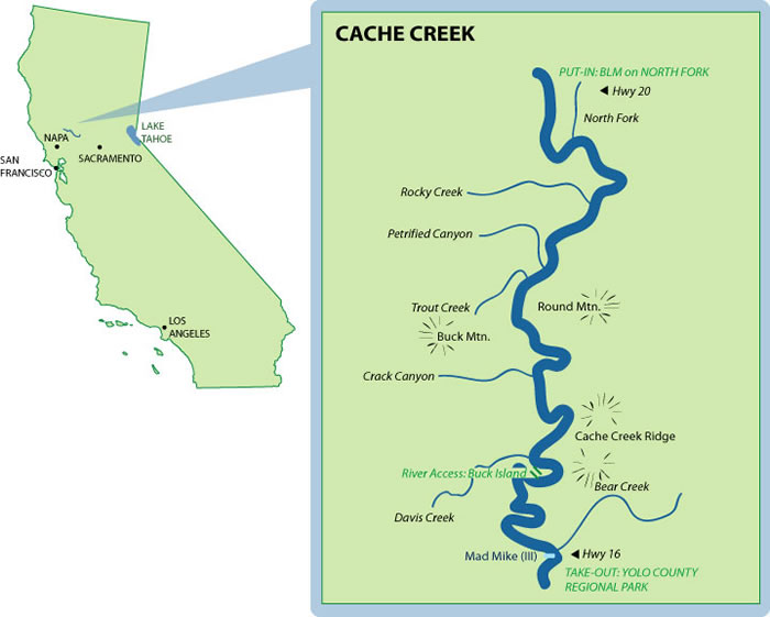
Location
View Full Run
1) Hwy 20 to the Bear Creek Confluence
Cache Creek
II(III)
18.9 mi
Current Conditions
5-Day Forecast
Whitewater data from
American Whitewater
American Whitewater