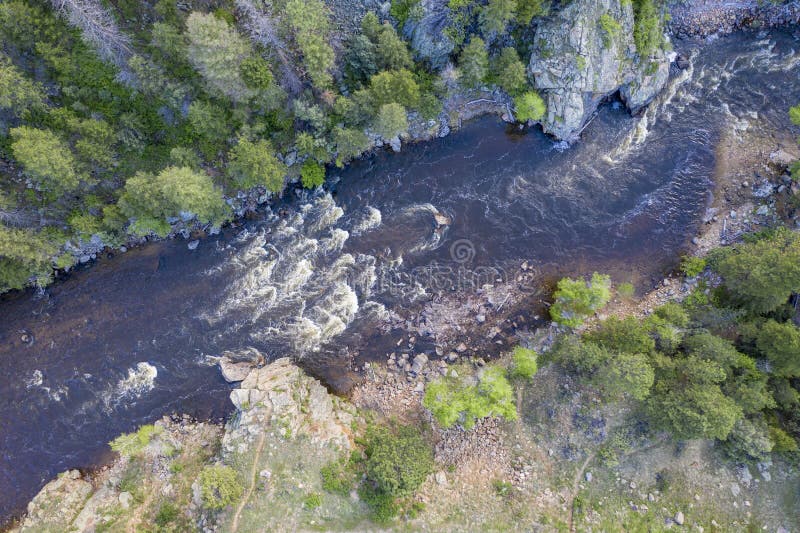
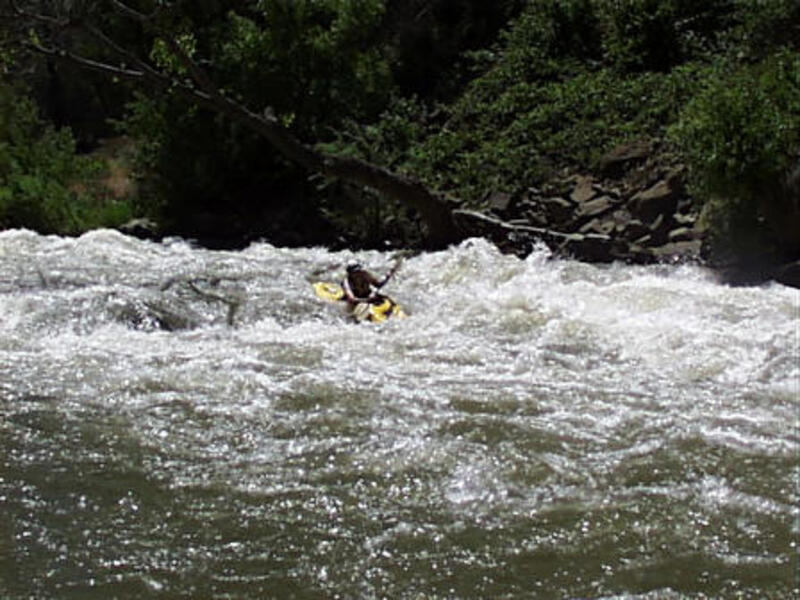
Twist and Shout
Save this feature with the run it belongs to.
Gauge Conditions
Data from American Whitewater & USGS
CDEC Flow Data California
Data from California Data Exchange Center (CDEC)
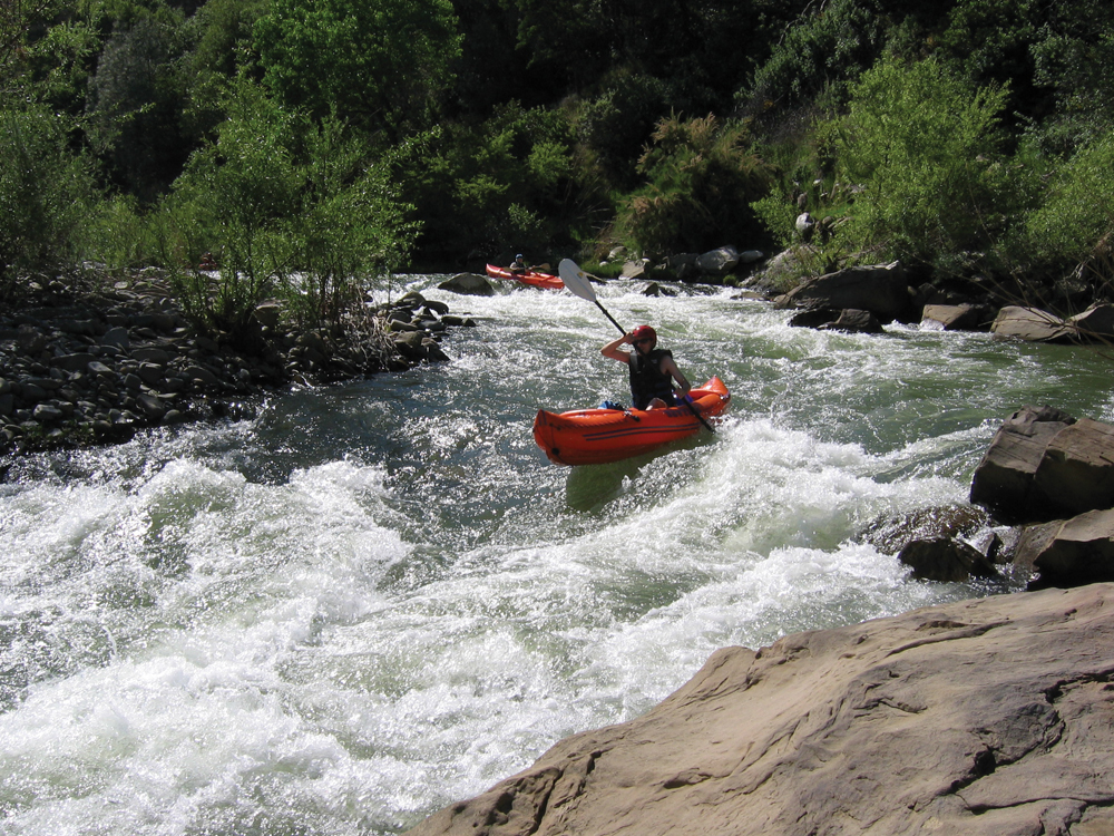
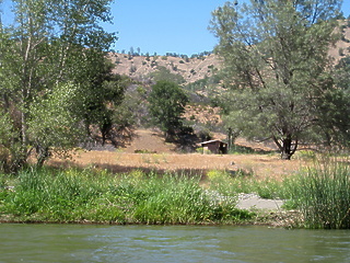
Photo
Photo courtesy of American Whitewater
Description
Distance approximate - Fun rapid - Left hand turn and drop around large rock. At end of long boulder garden.
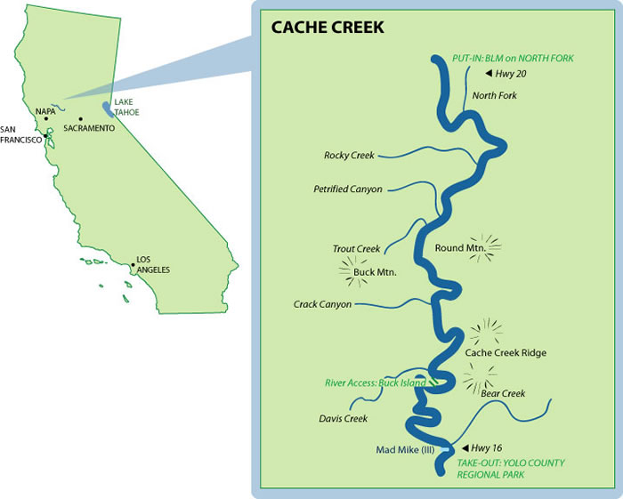
Location
View Full Run
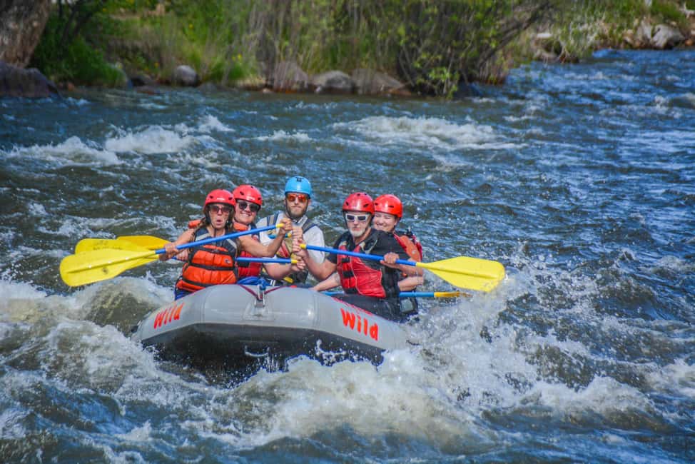
1) Hwy 20 to the Bear Creek Confluence
Cache Creek
II(III)
18.9 mi
Current Conditions
5-Day Forecast
Whitewater data from
American Whitewater
American Whitewater