Rapid
CA
Yolo County - Middle Site
Save this feature with the run it belongs to.
Gauge Conditions
Data from American Whitewater & USGS
CDEC Flow Data California
Data from California Data Exchange Center (CDEC)
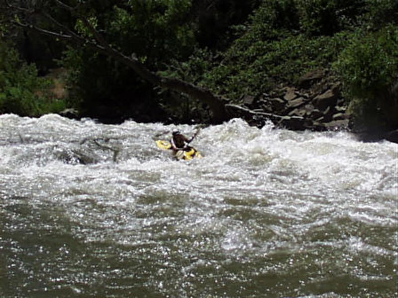
Photo
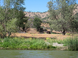
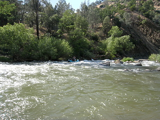
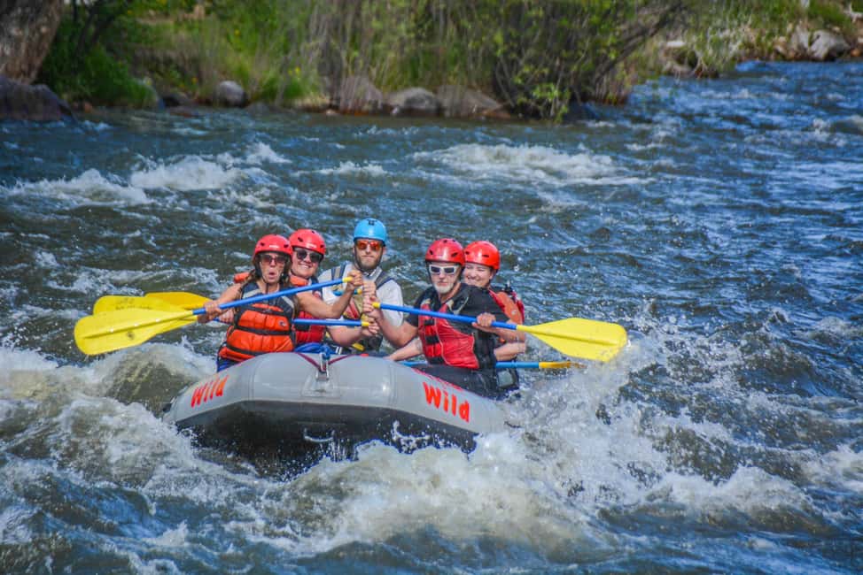
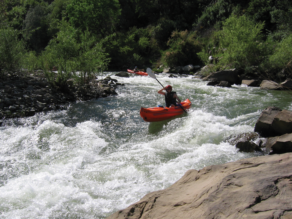
Photo courtesy of American Whitewater
Description
This is another take out. This is the public campground. It has a nice II+ rapid right below the camp and a great play spot. You can drive to within 100 feet of the river.
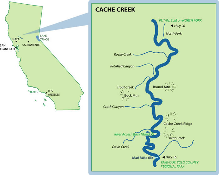
Location
View Full Run
1) Hwy 20 to the Bear Creek Confluence
Cache Creek
II(III)
18.9 mi
Current Conditions
5-Day Forecast
Whitewater data from
American Whitewater
American Whitewater