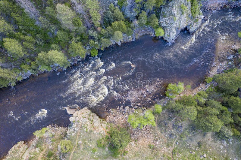
How's Your
River
×
Explore
Explore Map
Water Bodies
Gauges
Access Sites
Tidal Stations
Whitewater
Pricing
Login
Sign Up
Hazard Warning:
Hazard information may be user-submitted and unverified. Conditions change frequently. Always scout rapids and obstacles yourself.
Whitewater
California
Cache Creek - 1) Hwy 20 to the Bear Creek Confluence
Ugly Sweeper
Hazard
CA
Ugly Sweeper
Cache Creek - 1) Hwy 20 to the Bear Creek Confluence (CA)
Monitor this Rapid
Water Body
This Run
Map
Other Rapids
Gauge
Weather
Directions
Gauge Conditions
Cache Creek near Lower Lake CA
Upstream
Primary
Runnable: 500.0 – 5,000.0 CFS
Data from
American Whitewater
&
USGS
CDEC Flow Data
California
CACHE CREEK
INV
Primary
Dam Release
Elevation: 1,502 ft
CACHE CREEK
NCL
Primary
Elevation: 1,840 ft
CACHE CREEK
NFC
Primary
Elevation: 1,534 ft
Data from
California Data Exchange Center
(CDEC)
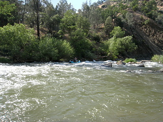
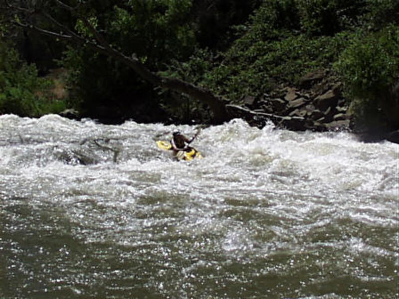
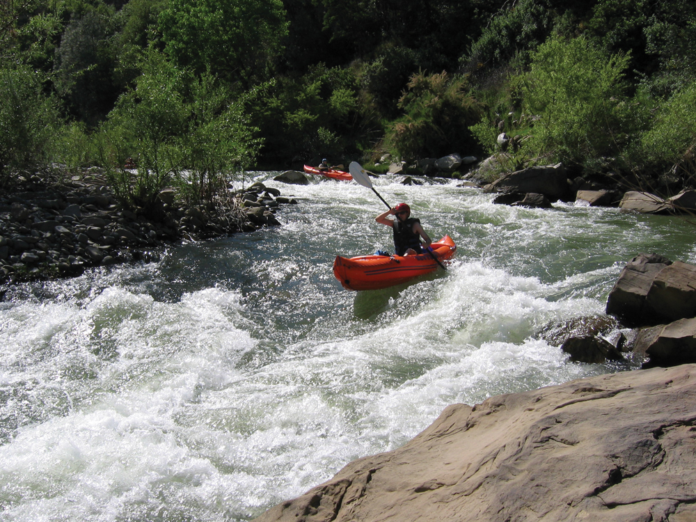
Photo
Photo courtesy of
American Whitewater
Description
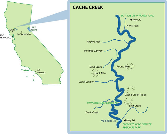
At about Mile 4 - distance is approximate. It is in a sharp Right Hand turn.
Location
Radar
Counties
Cell
Verizon
AT&T
T-Mobile
Dark
Satellite
Terrain
Other Rapids on This Run (8)
Rapid
Put-In
0.0 mi
Rapid
Confluence with Cache Creek
2.0 mi
Playspot
II+
Twist and Shout
8.0 mi
Hazard
III
Mad Mike
17.0 mi
Rapid
Rusty Truck
18.0 mi
Hazard
III
County Line
18.5 mi
Rapid
Yolo County - Upper Site
18.8 mi
Rapid
Yolo County - Middle Site
20.0 mi
Type
Hazard
Mile Marker
4.0 mi
Directions
Navigate
View Full Run
1) Hwy 20 to the Bear Creek Confluence
Cache Creek
II(III)
18.9 mi
Hazard
— Exercise extreme caution in this area.
Current Conditions
5-Day Forecast
Whitewater data from
American Whitewater
Ugly Sweeper