4. Pine Flat Dam to Centerville (Route 180) Wild
Gauge Conditions
Runnable: ? – ? CFS
Approximate reading: This gauge is 21.7 miles away on Kings. Use as a general reference only.
Data from American Whitewater & USGS
CDEC Flow Data California
Data from California Data Exchange Center (CDEC)
Run Map
Put-in
Take-out
Rapids/Hazards
Wild
Run Time Estimate
Select put-in and take-out to estimate time.
Plan This Trip
See wind-adjusted speed maps, forecast planning, and detailed time estimates.
Sign in to generate an AI timing estimate for this run.
Whitewater timing varies with scouting, portages, and group pace. Use as a planning baseline.
Description
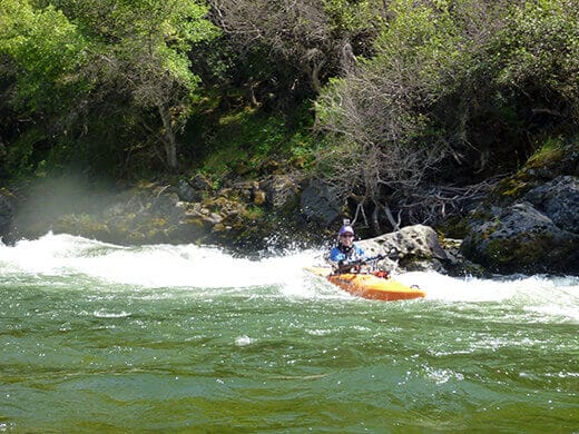
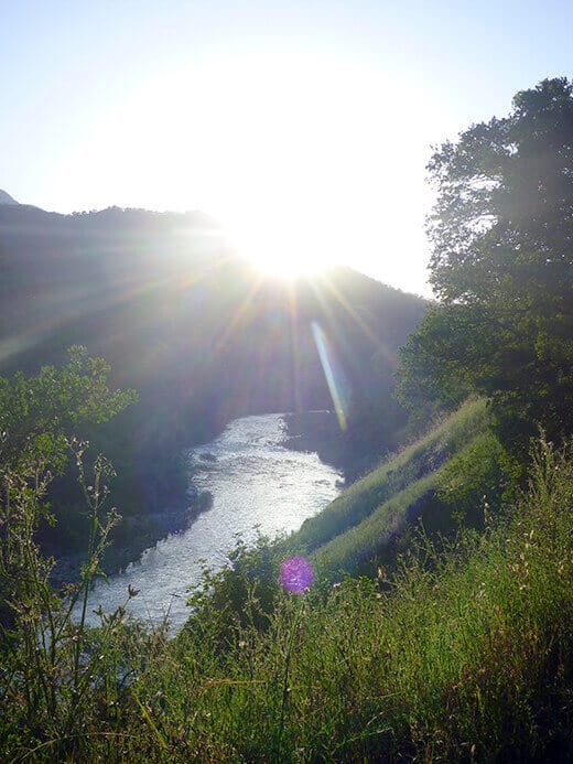
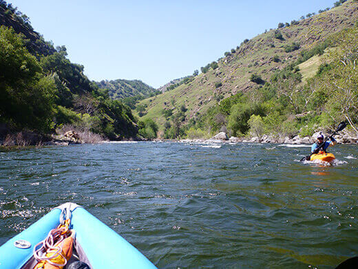
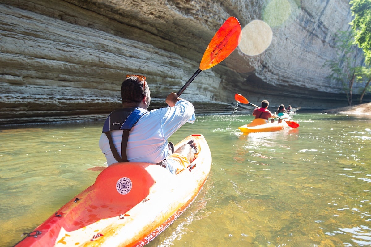
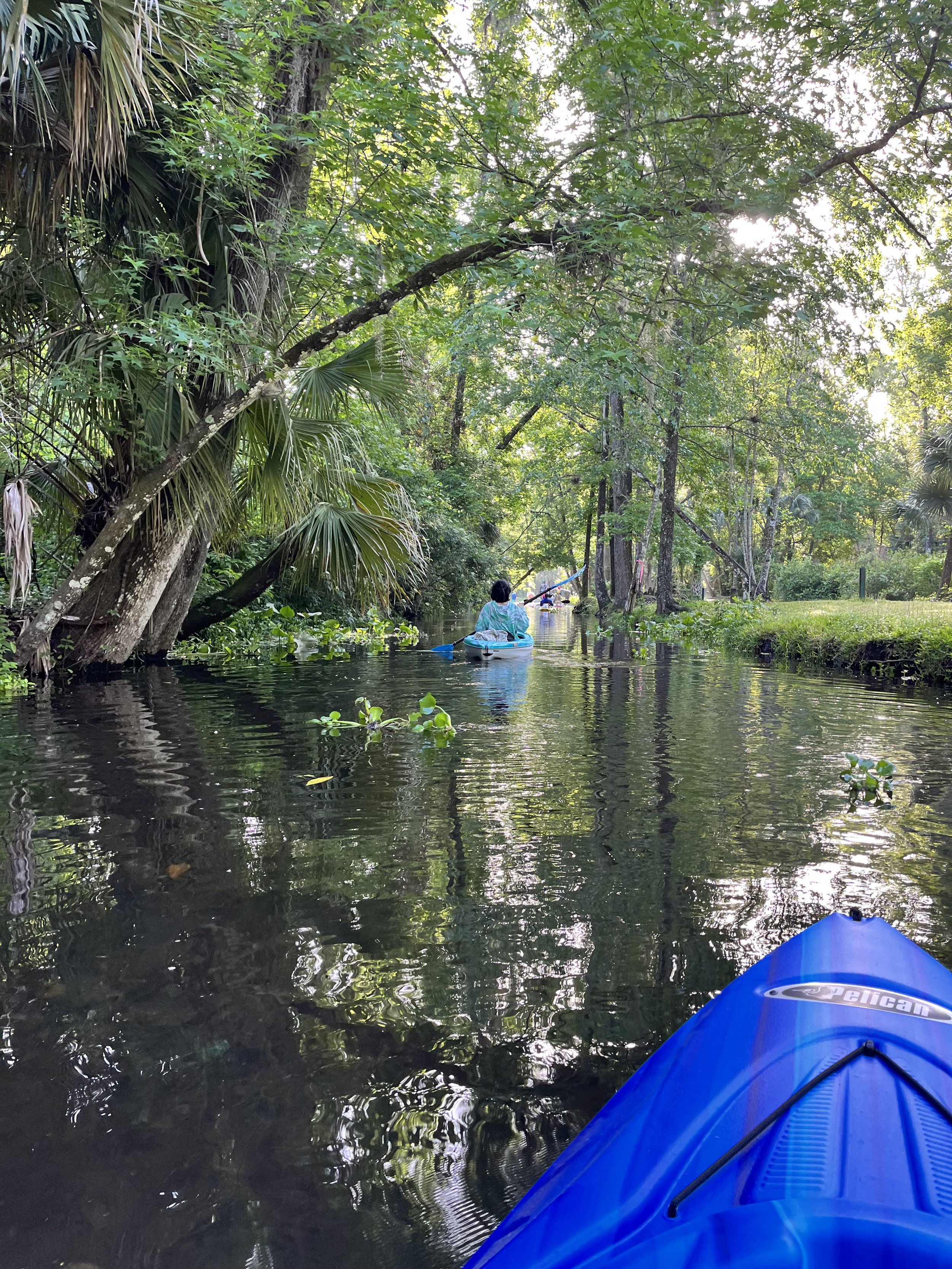
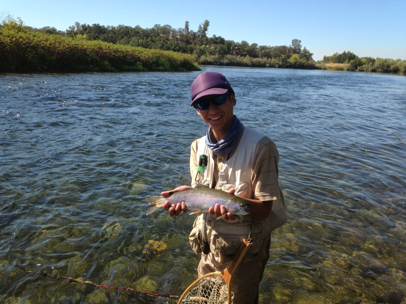
The Lower Kings River, (below Pine Flat Dam) is a very nice river for canoeing and for beginning kayakers and rafters. It is a good summer after work destination. It also has some decent play spots, especially for modern play boats. The scenery is excellent, changing from foothill grasslands to valley oak forest. Mostly the river is quite wide, but there are a number of narrow winding side channels with overhanging forest canopies.
Getting There:
From the north, take freeway 99 to Fresno, then take freeway 180 east to its end. Jog south (right) one mile to Kings Canyon Ave. (highway 180) and drive till it crosses the river at Pierces' Park (the take-out). To go directly to the put-in or for shorter runs only drive a half a block south from freeway 180, to Belmont Ave. and turn left (east). Follow Belmont to Piedra.
From the south, take freeway 99 north to Freeway 198 east. Immediately take the Plaza Drive exit and go north through Dinuba to Adams Ave. Turn left to Frankwood (if going directly to the put-in) or on to Reed Ave (if going to the take-out). Go north on Reed to 180 east, to Pierce's Park. If going directly to the put-in go north on Frankwood to Piedra Rd. to Piedra.
River Mileage and Elevations:
Location Mile # Elevation
(feet) Put-in0 560Piedra Bridge3 515Winton Park3.5 510Alta Weir5 490Avocado Lake6.3 480Channel Split6.5 475Gould Weir7.3 465Mansion8.5 450Fresno Weir9.3 430Highway 18012 385
Put-in and Take-out:,
There are many public access points from the dam to Avocado Lake either at Fresno County parks or from roadside turnouts. Below Avocado the banks are mostly private property. At highway 180, the privately owned Pierce's Park provides a nice take-out and camping for small fees. Free but more awkward take-outs can be made at the bridge or just past Pierce's Park.
Flows are released from the dam for irrigation from Spring, through Summer and often into early fall. Typical irrigation releases are from 2000 cfs to 10,000 cfs. Winter releases are generally in the 50 cfs range. Water temperature tends to be very cold, but in late summer when flows drop it can be less cold and more pleasant for swimming.
The rapids are primarily cobblestone riffles, though boulders have been placed in the river in many locations to improve fish habitat. Rapids are separated by long pools or swift water. There are a number of sections with islands that seperate the river into two or three channels.
The main hazards on this run are from trees along the bank which hang branches into the water and which occassionally fall into the channels. Thick brush, tree branches, trunks and roots in the current form strainers that can catch and drown the unwary. Experts give such strainers a wide berth, but novices have a difficult time recognizing strainers, seeing where the current is pushing them and having the paddling skill to move away in time. Novice boaters who swim, also need to be careful about where they swim to shore, aiming for clear bank.
* * *
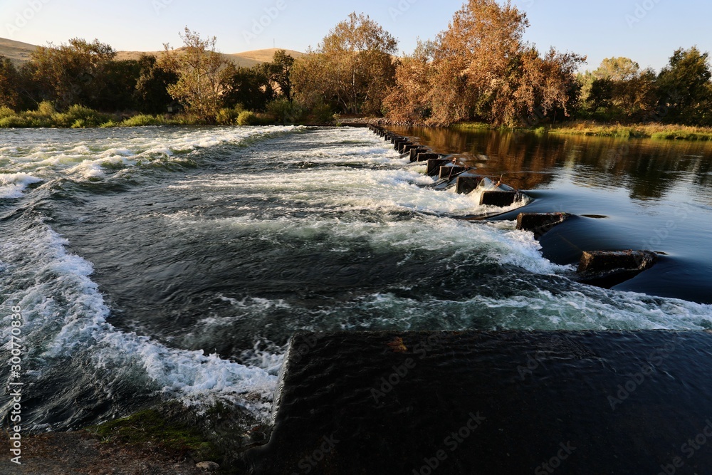
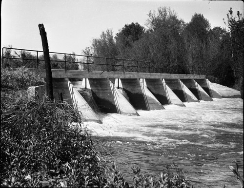
There is a Deadly Hazard just upstream of the put-in. A gauging weir (low head dam), is underneath the bridge upstream of the put-in. There is no easy way to get a complete look at this weir, but looking down from the bridge, you can watch the water boiling up to the surface then rushing back upstream under the bridge. No floating object or person can escape once sucked in. It is a classic "low head dam" with a steep drop and strong reversal that will drown anyone who ventures too close and who is not quickly rescued from outside. Signs warn of the danger and direct you to launch at least 300 feet downstream of this bridge. See the "killing machine" pictures below. Three people have died here in 40 years according to one knowledgable source at Army Corp. A few others have been rescued before they perished.
The backwash is long and steep. Pulling someone out through the backwash is very difficult and requires multiple people pulling an a rope. The swimmer will not be able to hang on unless the rope is attached or wrapped around their body. Paddle clubs and rescue teams should try to develop fast and more effective methods for rescueing victums from this deadly trap.
In the long term, paddlers should work with the army corp to implement design modifications that would reduce the danger of this weir. The function of the weir,(measuring streamflow) can still be achieved with modifications that would eliminate the deadly backwash.
* * *
Three Diversion Weirs are passed in the lower half of the river, between Winton park and highway 180. They are all easily portaged.
Alta Weir (portage river right), about a mile past Winton Park is easily portaged on the right. Alta is noted for its interesting surf wave. See Alta Weir pictures and diagram below, and another photo at D. J. Gabbard's Kayaking Page.
Gould Weir (portage river left) is on the narrow, right most channel about a mile below Avocado Lake. At medium and high flows it is easy and best to avoid this channel. At low flows the middle and left channels can get too low so that paddlers are forced into the Gould Weir channel. There are no warning signs.
Fresno Weir (portage river left) is a 6 or 8 foot high dam about 3/4 mile past the fancy Harris Ranch Mansion. This portage is notable for the narrow hidden take out 20 feet from the lip of the dam. There are no warning signs.
There will be a drop in flow below each of these weirs because their function is to divert some flow into irrigation canals. As flows drop in the Fall, the sections below Fresno Weir will become very low, even when upper sections are still fine.
* * *
Camping is available at county parks near the dam, or at the private Pierce's Park at Highway 180. There are seven Fresno County parks along this section of the Kings river. The linked page has information and directions to all of these county parks including some which are undeveloped and not well known.
Local Clubs:
For more information on this and other local paddling areas, please feel free to contact these local clubs: SJPaddlers, NEW Kayak Club, or Gold Country Paddlers.
Online:
You can get more information from California's Whitewater Community at boof.com.
US Army Corp of Engineers manages Pine Flat Dam. Their office is on the south side of the river near the base of the dam. From the put-in, just continue south on Pine Flat Rd. another half mile or so and you will see the office on the left. Call: (559) 787-2599
The Kings River Conservancy,
1384 N. Frankwood Ave.
Sanger, CA 93657
(559) 787-9500),
is working to create better public access and stewardship for the lower Kings River from Pine Flat dam to highway 99, by creating greenbelt parks along the river.
Kings River Conservation District
4886 E. Jensen Avenue
Fresno, CA 93725
Telephone: (559)-237-5567
is the local entity which contracts with the US government for irrigation water and then provides that water to individual irrigation districts, such as Fresno Irrigation.
This page for the Fresno Sheriff Boating Patrol lists some of the laws relating to boating on the Kings River.
Fresno County Board of Supervisors
Hall of Records
2281 Tulare Street, Room 3001 Fresno, CA 93721-2198
(559)488-3529
If you want to legally boat this section at flows higher than the present legal limit or if you wish to legally surf at the Alta Weir, contact this Board of Supervisors and complain, or perhaps ask for a special permit.
The water which is stored in Pine Flat reservoir and sent down the Kings River is used up entirely by irrigated farming. Pine Flat was originally proposed to be built by the Bureau of Reclamation. However the reclamation act limited the use of stored water to farms of 160 acres or less. The major beneficiaries of the proposed reservoir owned far greater than 160 acres. So, they managed to persuade congress to have the Army Corp of Engineers build the dam as a flood control project. This allowed the farmers to receive all of the water with no restrictions while the federal government paid for the dam. All the other dams on the rivers that drained into Tulare Lake were similarly built by the Army Corp of Engineers for the same reasons. The following links have information on farming in this region.
J.G. Boswell farm subsidies
Cotton subsidies
The King of California: J.G. Boswell and the Making of a Secret American Empire, by Mark Arax and Rick Wartzman
Book review
Paul Martzen
SIERRA WHITEWATER, MARTIN, 1974
Rapids in this Run (8)
Waterfalls (1)
Playspots (2)
Hazards & Portages (4)
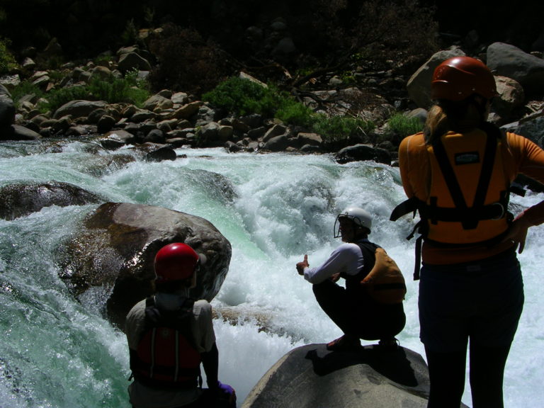
Caution: The following locations may require scouting or portaging. Always check current conditions.
Difficulty
Class I-II
Length
12.2 mi
Gradient
14 ft/mi
max 15
Rapids
8
4 Hazards
Access Points
Difficulty Classes
I Easy
II Novice
III Intermediate
IV Advanced
V Expert/Extreme
VI Unrunnable
Current Conditions
5-Day Forecast
Whitewater data from
American Whitewater
American Whitewater