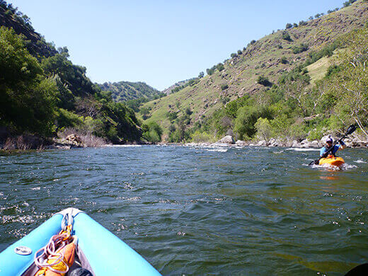
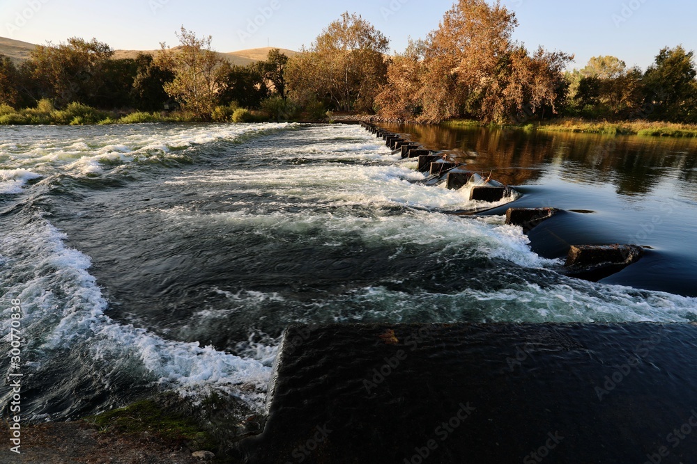
Hazard
CA
Gould Weir
Save this feature with the run it belongs to.
Gauge Conditions
Runnable: ? – ? CFS
Approximate - nearest available gauge. Use as general reference only.
Data from American Whitewater & USGS
CDEC Flow Data California
Data from California Data Exchange Center (CDEC)
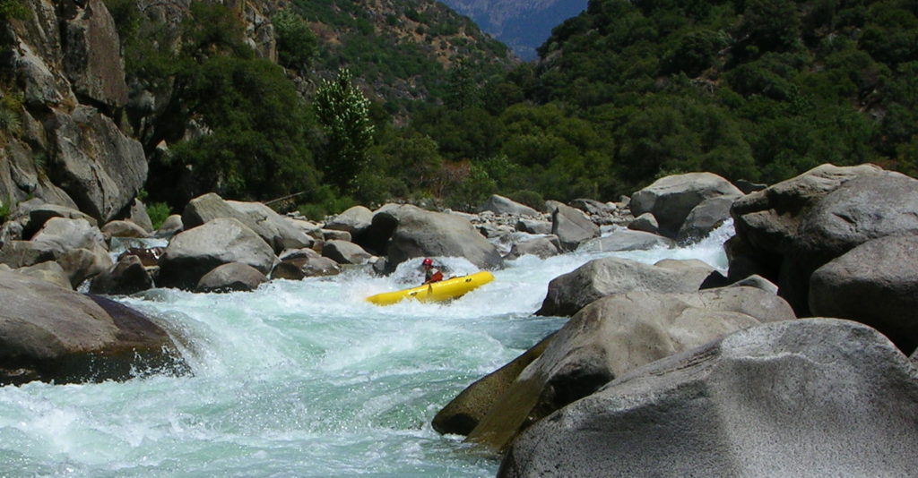
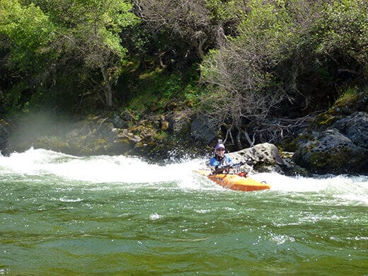
Photo
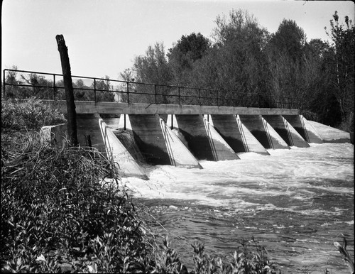
Photo courtesy of American Whitewater
Description
The river splits again, but at lower flows, most of the water goes down the right most channel leading to Gould Weir. Portage on river left starting a ways above the weir. The bank is mostly concrete riprap near the weir and so it is awkward to take out. Close to the weir the banks are steeper and the current faster. A dirt road leads around the weir and to a nice put-in below. At medium and high flows it is easy and best to avoid this channel. At low flows the middle and left channels can get too low so that paddlers are forced into the Gould Weir channel.
Location
Other Rapids on This Run (14)
View Full Run
4. Pine Flat Dam to Centerville (Route 180)
Kings
I-II
12.2 mi
Hazard — Exercise extreme caution. Portage recommended — scout before running.
Current Conditions
5-Day Forecast
Whitewater data from
American Whitewater
American Whitewater