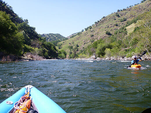
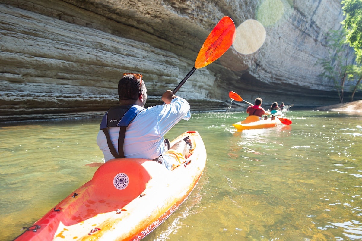
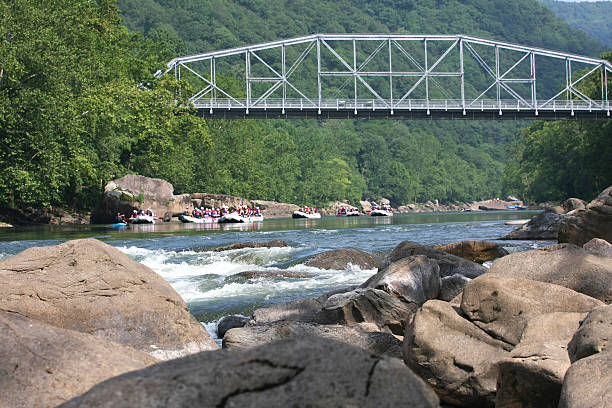
Rapid
CA
Channel Split
Save this feature with the run it belongs to.
Gauge Conditions
Runnable: ? – ? CFS
Approximate - nearest available gauge. Use as general reference only.
Data from American Whitewater & USGS
CDEC Flow Data California
Data from California Data Exchange Center (CDEC)
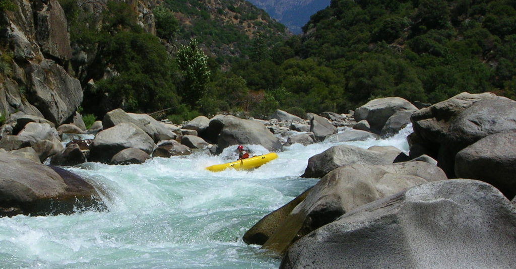
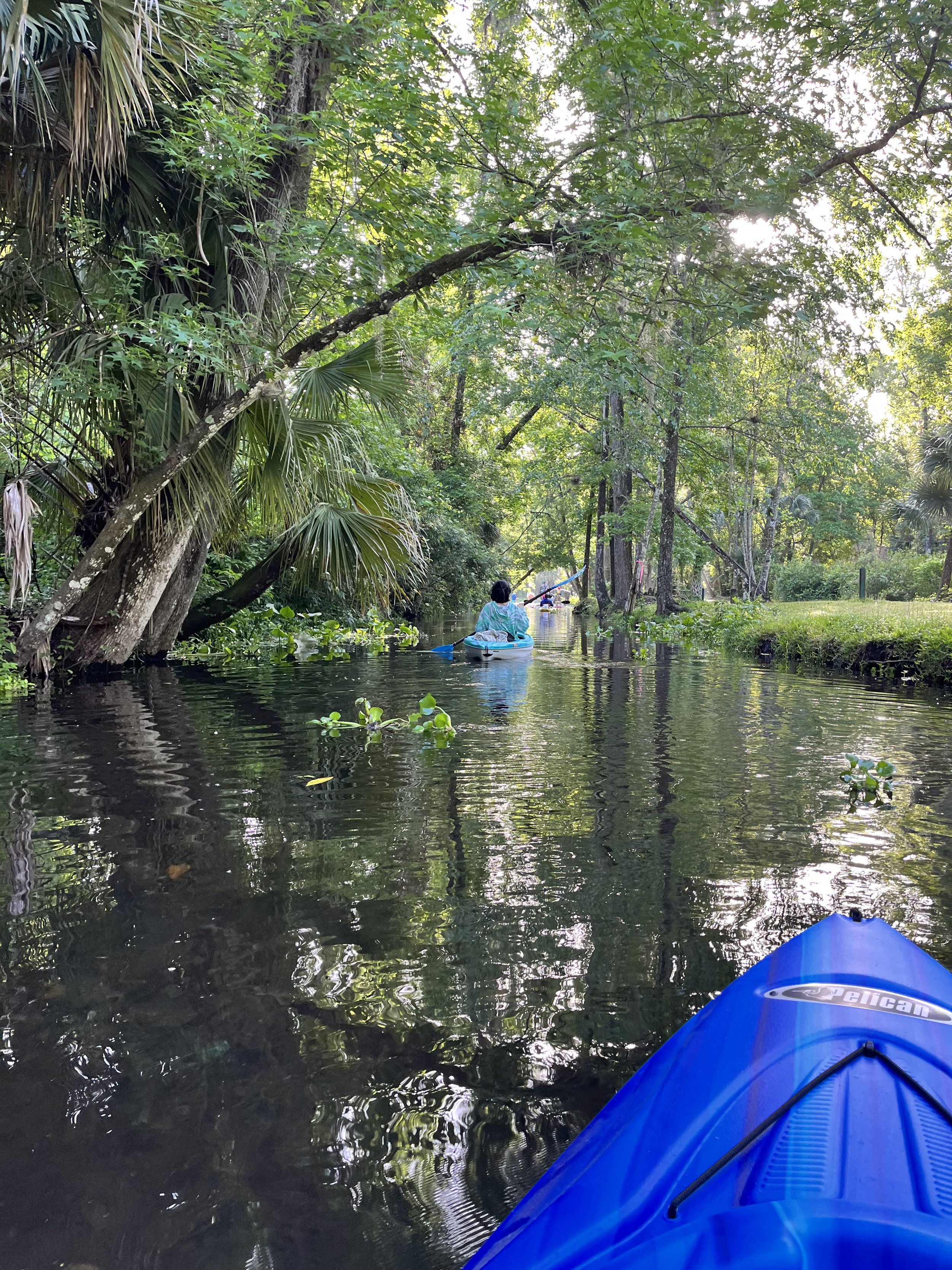
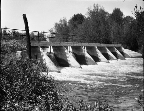
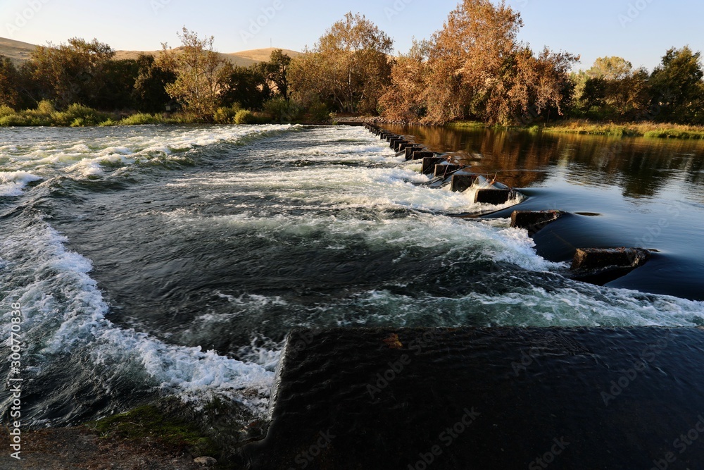
Photo
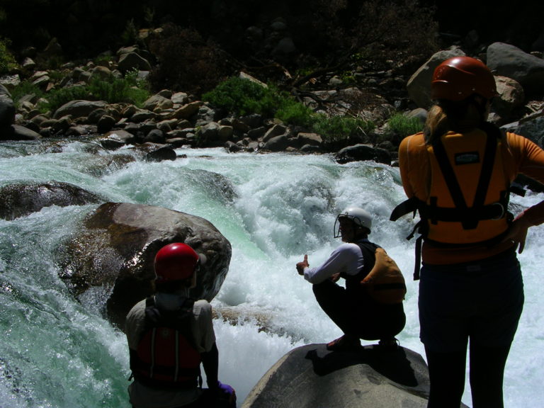
Photo courtesy of American Whitewater
Description
A narrow, shady, channel splits off and does not rejoin the main channel for over a mile. This left channel bypasses the Gould Weir. Avocado Lake is immediately on the other side of the left bank. The right channel is cluttered with rocks placed in the river bed for trout habitat. These rocks make for fun manuvering. This right channel, splits again, but then rejoins after a short distance. After a half mile it splits again with the right most channel leading to Gould Weir.
Location
Other Rapids on This Run (14)
View Full Run
4. Pine Flat Dam to Centerville (Route 180)
Kings
I-II
12.2 mi
Current Conditions
5-Day Forecast
Whitewater data from
American Whitewater
American Whitewater