Rapid
CA
First Islands
Save this feature with the run it belongs to.
Gauge Conditions
Runnable: ? – ? CFS
Approximate - nearest available gauge. Use as general reference only.
Data from American Whitewater & USGS
CDEC Flow Data California
Data from California Data Exchange Center (CDEC)
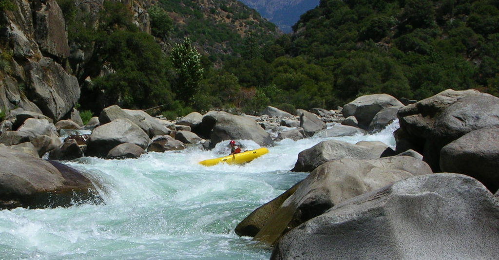
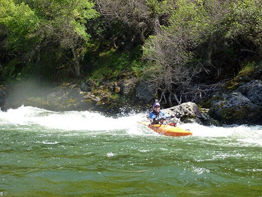
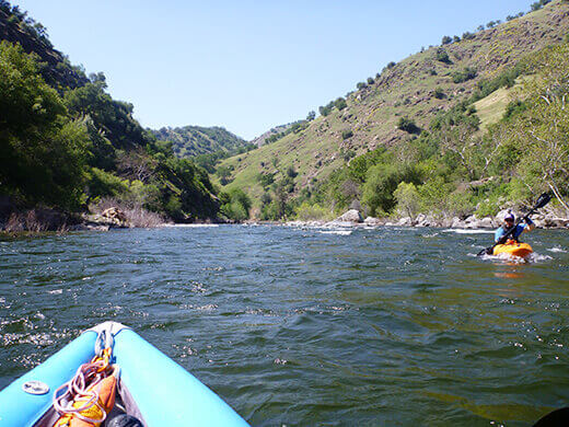
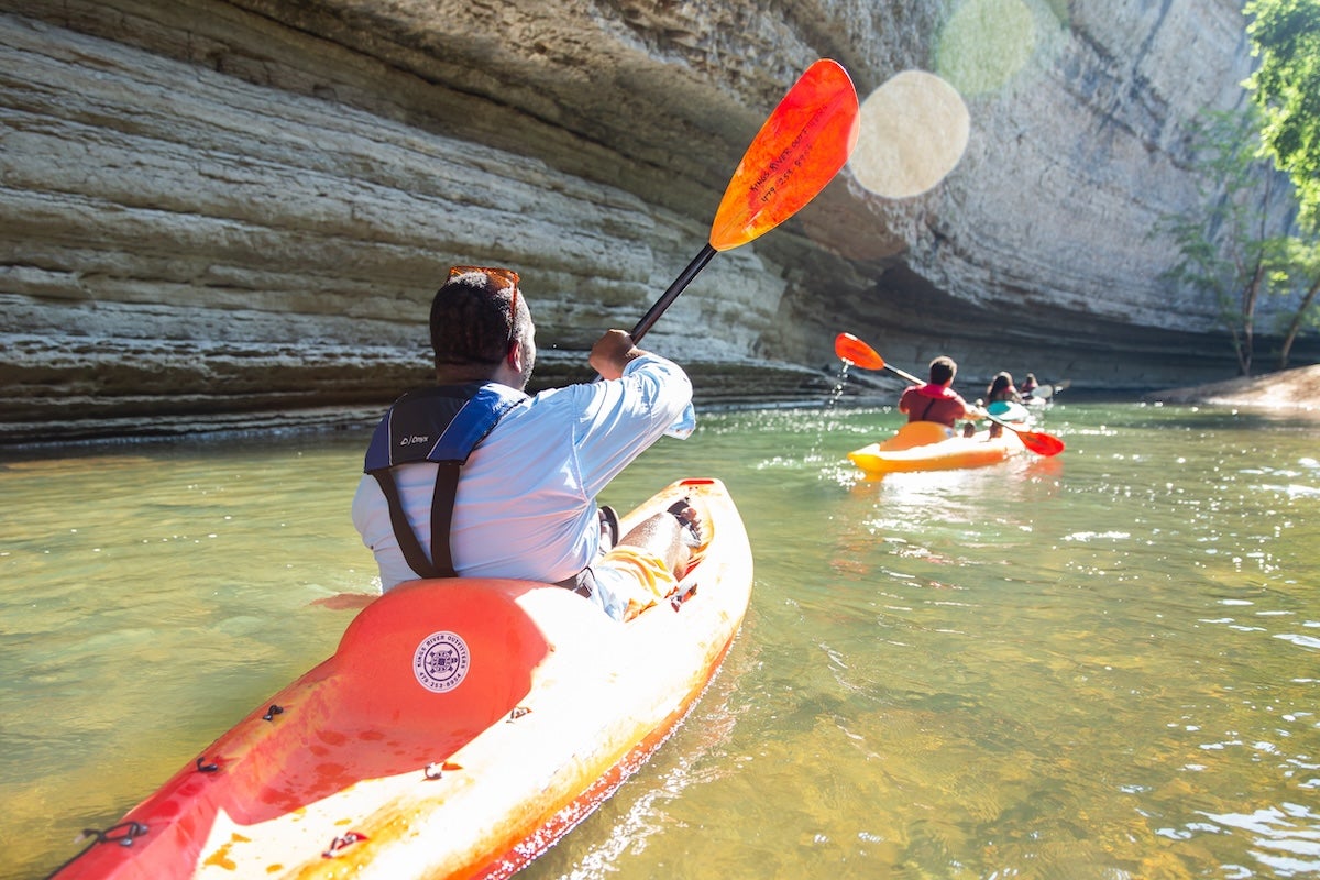
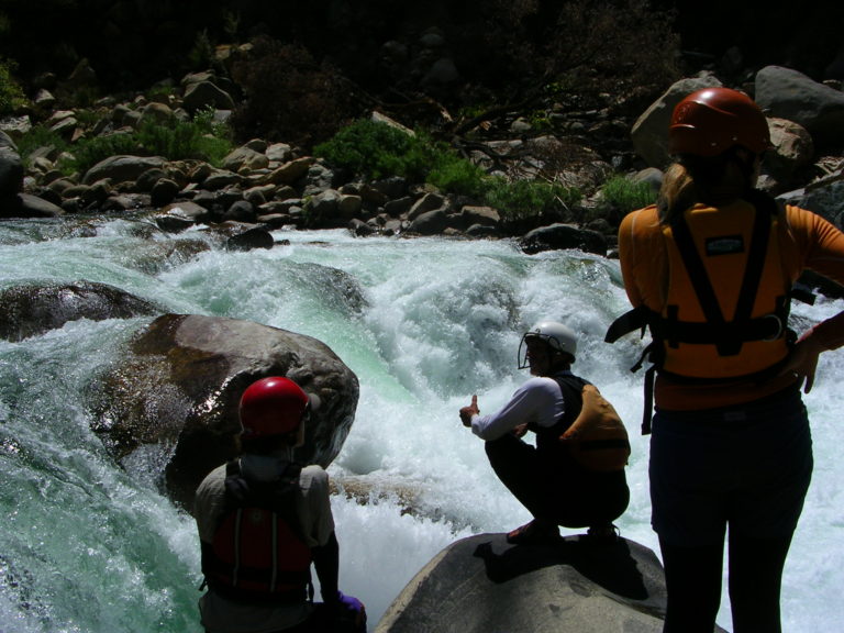
Photo
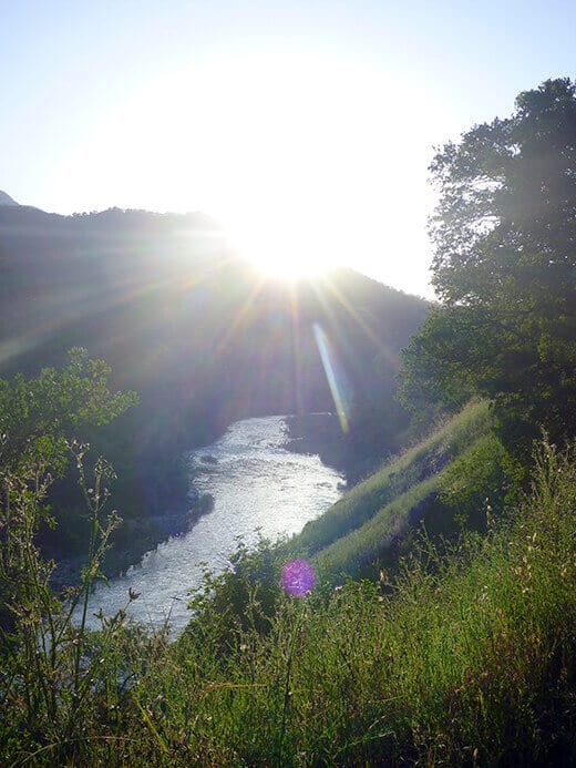
Photo courtesy of American Whitewater
Description
Islands divide the river into 3 main channels with several interconnections. Staying far left leads down a wide shallow channel to the mouth of Mill Creek. In May of 2007, boaters reported a barbed wire fence extending out into this channel from the left side. Be very careful to stay to the right of this fence if you venture into this channel. In the past one could paddle even more to the left up the mouth a ways, though the creek only has flows in the winter and early spring. Heading downstream, the left channel is fairly narrow and shaded. The center channel is wide, shallow and sweeping. The right side channel is fairly small and has some sharp turns before it rejoins the middle channel.
Location
Other Rapids on This Run (14)
View Full Run
4. Pine Flat Dam to Centerville (Route 180)
Kings
I-II
12.2 mi
Current Conditions
5-Day Forecast
Whitewater data from
American Whitewater
American Whitewater