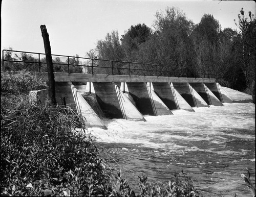
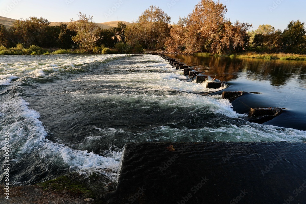
Hazard
CA
Low Bridge
Save this feature with the run it belongs to.
Gauge Conditions
Runnable: ? – ? CFS
Approximate - nearest available gauge. Use as general reference only.
Data from American Whitewater & USGS
CDEC Flow Data California
Data from California Data Exchange Center (CDEC)
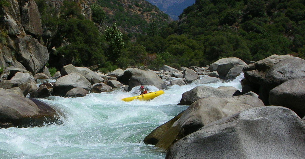
Photo
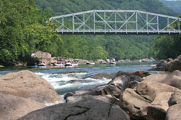
Photo courtesy of American Whitewater
Description
Just after the Gould Weir Channel rejoins the center channel, a private road crosses both branches of the river via metal bridges. The bridge over the main/right channel is very low and blocks passage at higher flows. At 6,800 cfs kayaks can barely slip under, but rafts and canoes must portage. It is a short but awkward portage with lots of stinging nettle. The bridge over river left channel is high up and never presents a problem for boaters.
Location
Other Rapids on This Run (14)
View Full Run
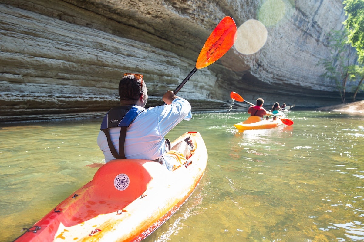
4. Pine Flat Dam to Centerville (Route 180)
Kings
I-II
12.2 mi
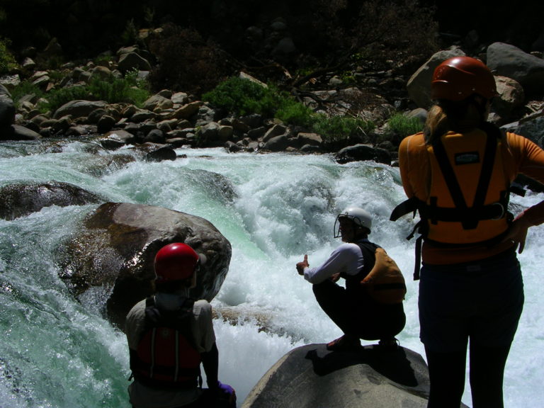
Hazard — Exercise extreme caution. Portage recommended — scout before running.
Current Conditions
5-Day Forecast
Whitewater data from
American Whitewater
American Whitewater