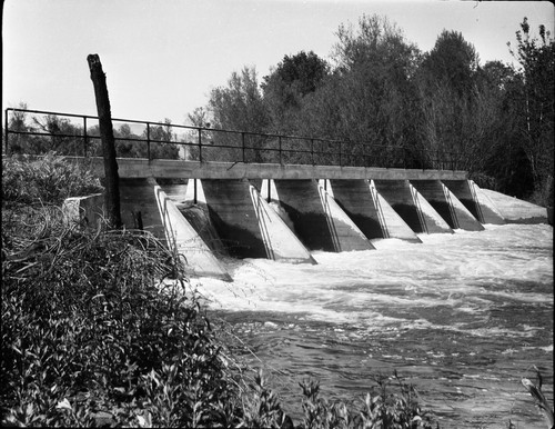
Fresno Weir
Save this feature with the run it belongs to.
Gauge Conditions
Approximate - nearest available gauge. Use as general reference only.
CDEC Flow Data California
Photo
Description
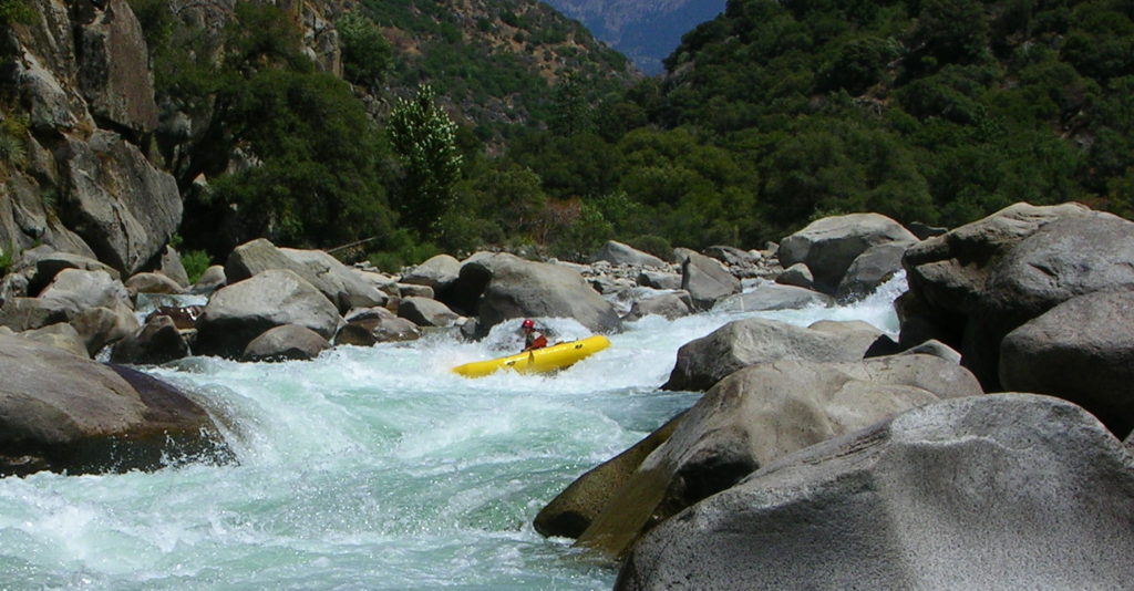
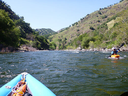
Portage river left. This is a 6 to 8 foot high dam is about 3/4 mile past the fancy Harris Ranch Mansion. White fences on river right continue a ways past the mansion. Just after the fences end, a thick telephone cable passes over the river and the river curves right, then left. Looking downstream boaters will see a small building atop a concrete wall. This wall is the right bank of the dam. There are no other warning sign and the dam itself is visible only as a horizon line. The river curves to the left enough that it is impossible to see the portage till you are on top of it. Once you see these structures hug the left shore and get ready to portage.
There are two options for portage on the river left. The most common option is to slink, one at a time, past the berry bushes to a narrow hole in the bushes about 20 feet from the lip of the dam. If you have beginners somebody should stand in the water and drag them into the hole so they do not drift past. Only one boat at a time really fits. Fortunately the current tends to be relatively slow as the dam is very wide. At high flows, however, this option can be scary.
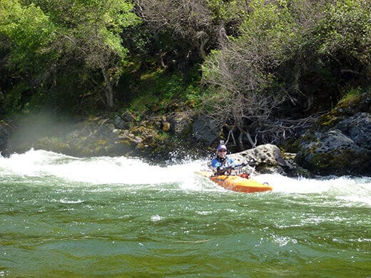
The second option is to take out upstream of the berry bushes and drag boats 50 yards or so behind the berry bushes. This is a much safer option but is less obvious and gets little to no use, so the trail is usually overgrown and the take-out is not obvious. The local paddling club has discussed putting a sign at this take-out, but has not yet done so.
The land at this portage is public; Bureau of Reclamation upstream, and Fresno County downstream, so it is a legal stopping and picnicing spot in this lower section.
Location
Other Rapids on This Run (14)
Current Conditions
5-Day Forecast
American Whitewater