Alta Weir
Save this feature with the run it belongs to.
Gauge Conditions
Approximate - nearest available gauge. Use as general reference only.
CDEC Flow Data California
Photo
Description
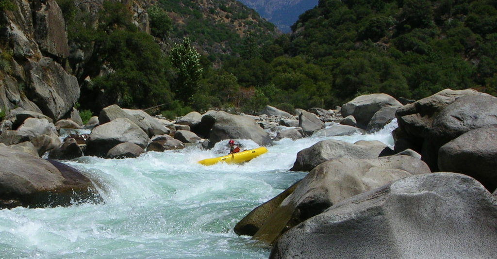
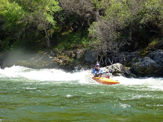
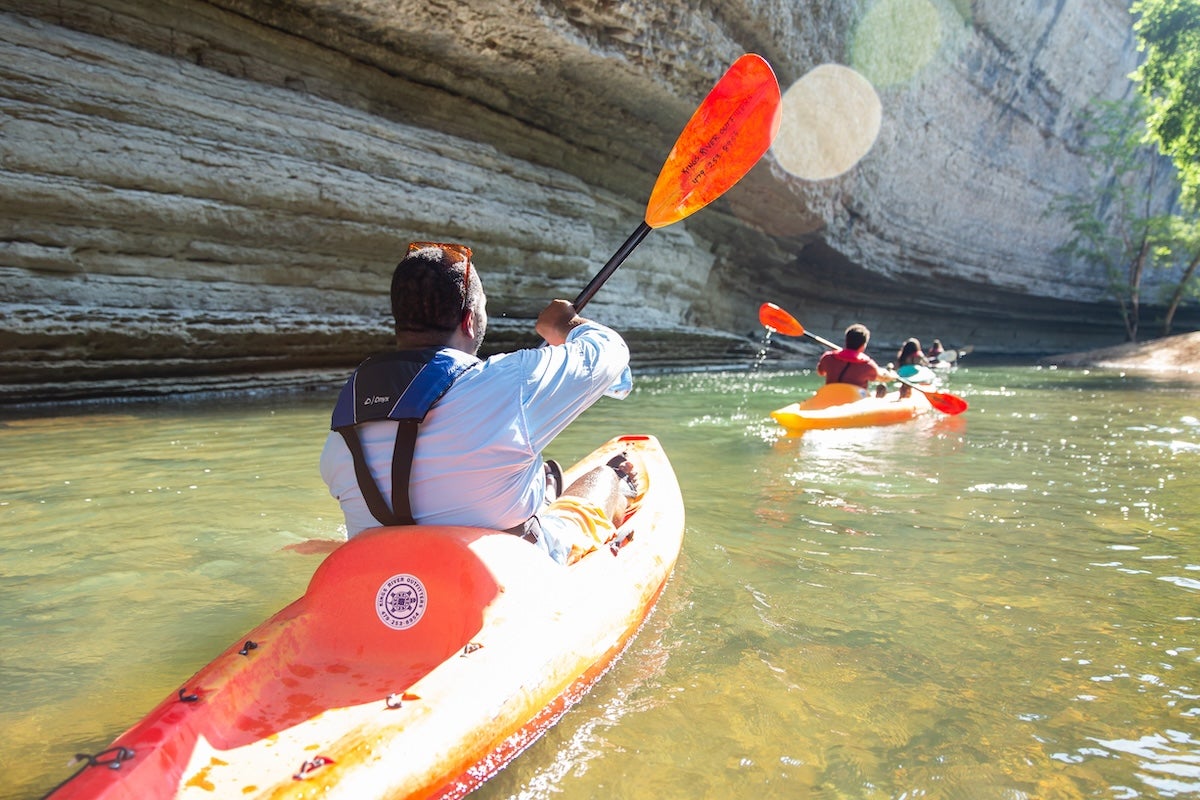
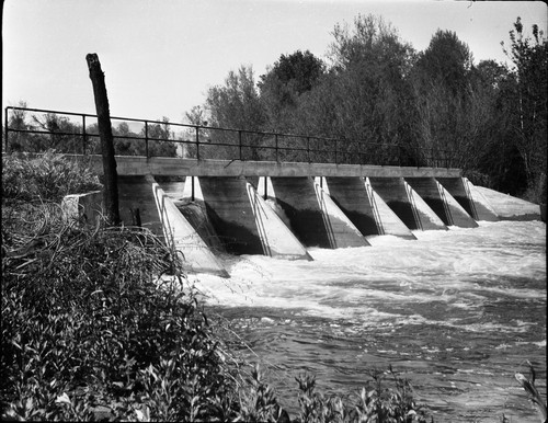
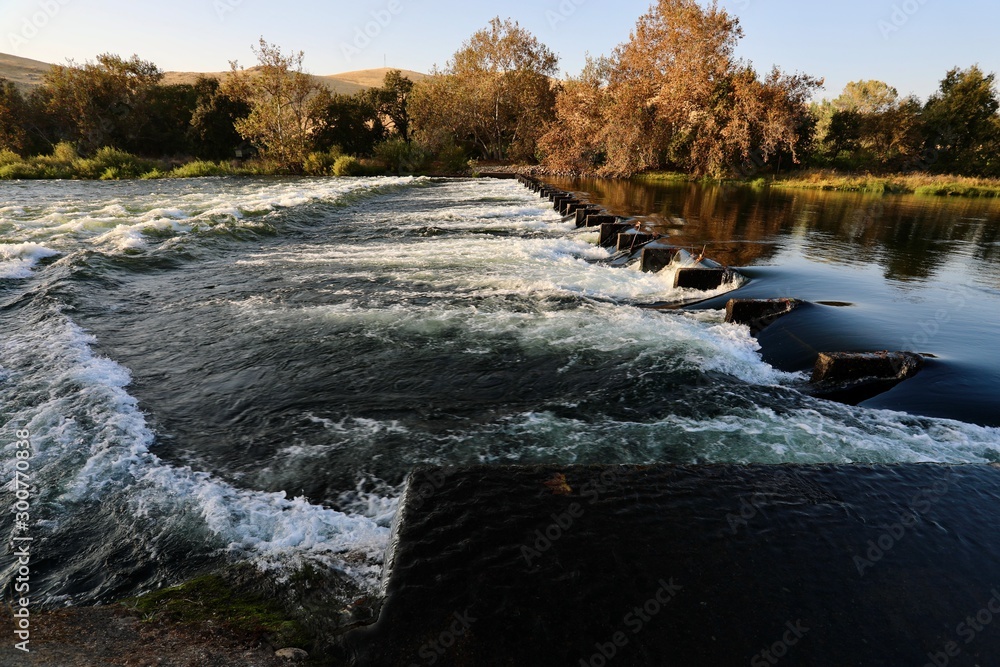
Alta Weir is a low dam structure that diverts water into an irrigation channel to the left. The main hazard is concrete dividers spaced every 8 feet across the river (and the trees that sometimes snag on those dividers). The drop itself has had no reversal for many years and does not now pose a major hazard. Many paddlers do run this weir, but it is also very easy to portage on river right.
The dividers in the weir are designed to hold boards in place that further dam the water. When the boards are in place they create a steeper and more awkward drop. The boards are needed to dam the water at very low flows, but the irrigation district has gotten into the habit of leaving them in all year long no matter what the flow.
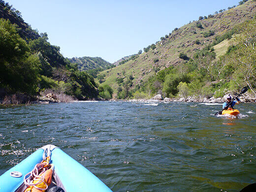
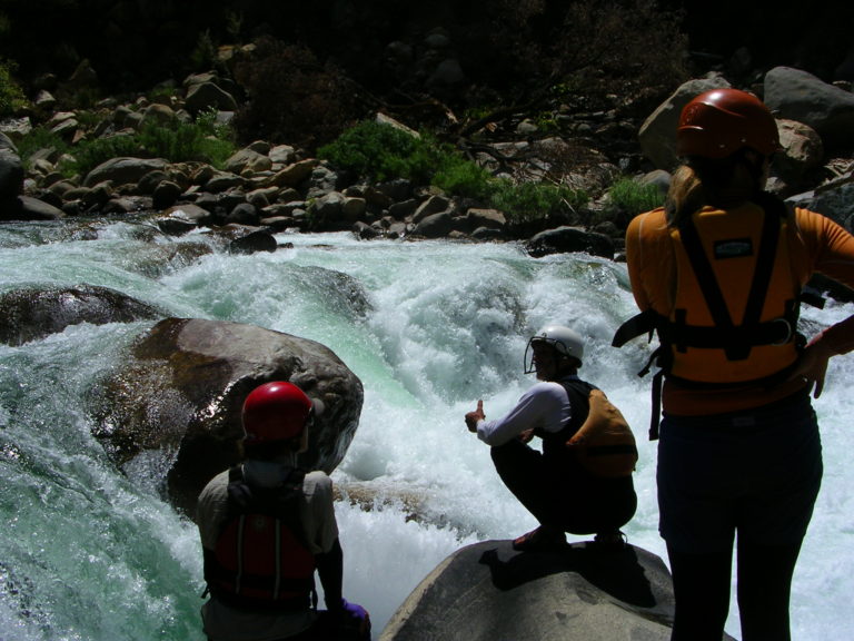
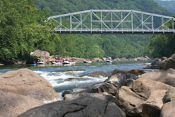
Alta is popular for its river wide surf wave which forms just below the drop.
Many groups also take-out just upstream of the weir on river left. There is a steep bank, but the road is next to the river and there is a large parking area.
Stay out of the river left channel above the irrigation gate structure. Water is sucked down and through the bottom of the gates.
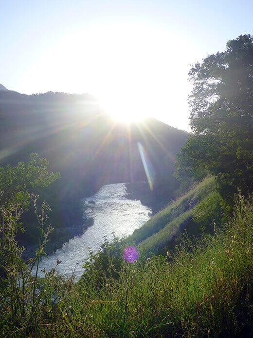
Location
Other Rapids on This Run (14)
Current Conditions
5-Day Forecast
American Whitewater