Capitol Drive shoals
Save this feature with the run it belongs to.
Gauge Conditions
Runnable: 120.0 – 9,999.0 CFS
Intermediate flow. Perhaps ideal flows for beginner-to-intermediate boaters (full run or PnP at EPL, UPk, TD or North Ave). (See description for details.)
Data from American Whitewater & USGS
Description
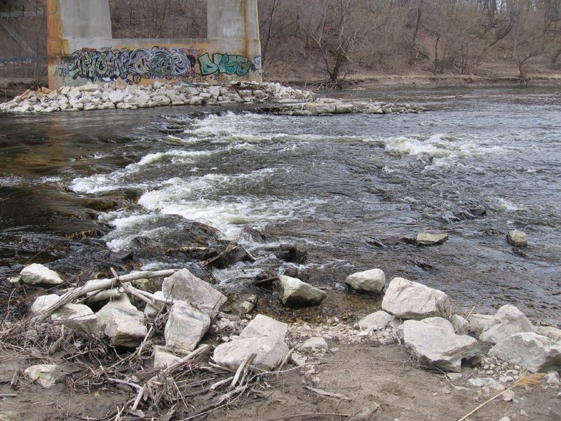
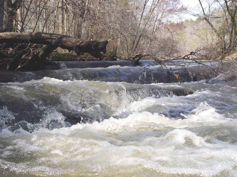
The first of three road bridges you'll pass under on the full run is Capitol Drive. A shallow, rocky shoals (at least, at low-to-moderate flows) will be encountered. Best depth is generally off to river-left. At higher flows (above 500 cfs), these shoals are fairly well covered (no special 'line' or maneuvering is needed), and (most generally) no playable features occur. (Though I have had one boater claim surfing some feature here!)
Location
Interactive river map
Loads as you approach this section.
Other Rapids on This Run (20)
 Waterfall
N/A
Waterfall
N/A
Kletzsch Park Dam
Rapid
N/A
Lincoln Park (Island Put-in)
Rapid
N/A
*** WATER QUALITY ISSUES: CSO ***
Rapid
N/A
*** WATER QUALITY ISSUE: PCB ***
Rapid
N/A
FORMER SITE of Estabrook Dam
Rapid
N/A
Estabrook Beer Garden Parking ** Recommended Put-in **
 Waterfall
II+
Waterfall
II+
Estabrook Park Rips ("EPR")
 Playspot
II
Playspot
II
U-Park Shoals and U-Park Ledge ("UPL")
 Playspot
I
Playspot
I
Timber Dam ("TD")
 Hazard
II
Hazard
II
The Plague at Locust ("PAL")
Rapid
N/A
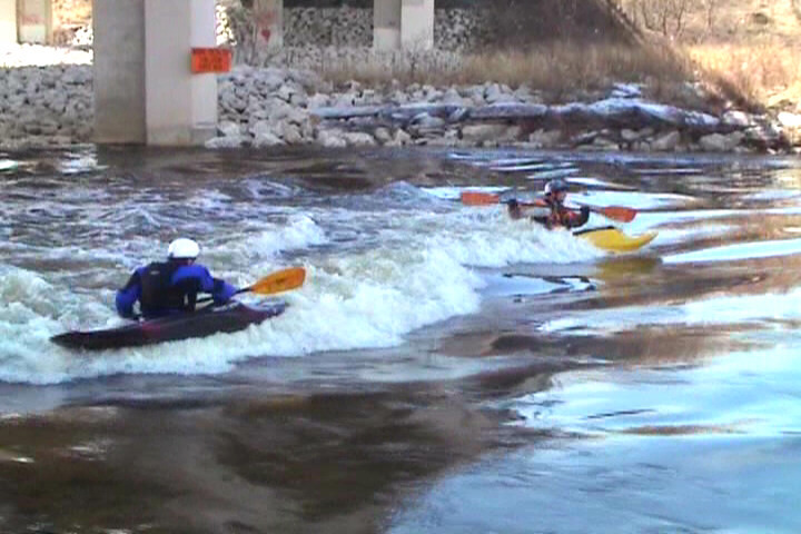
North Avenue Park-and-Play
 Playspot
II
Playspot
II
Shadow (Wave)
Rapid
N/A
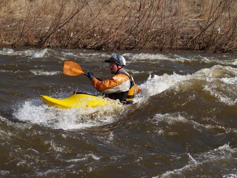
Homeless (Wave)
 Playspot
II+
Playspot
II+
Typewriter ("TW")
Playspot
II
Backspace ("BS")
Playspot
II
Carriage Return ("CR")
 Playspot
II
Playspot
II
Shift Keys ("SK")
Rapid
II+
Space Bar ("SB")
 Hazard
II
Hazard
II
Rubble Field ("RF")
 Rapid
N/A
Rapid
N/A
Take-out
View Full Run
C) Estabrook Park to N.Riverboat Road (PnP or up to 3.6 miles)
Milwaukee
I-II(III)
3.5 mi
Current Conditions
5-Day Forecast
Whitewater data from
American Whitewater
American Whitewater