FORMER SITE of Estabrook Dam
Save this feature with the run it belongs to.
Gauge Conditions
Intermediate flow. Perhaps ideal flows for beginner-to-intermediate boaters (full run or PnP at EPL, UPk, TD or North Ave). (See description for details.)
Description
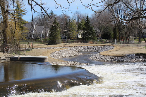
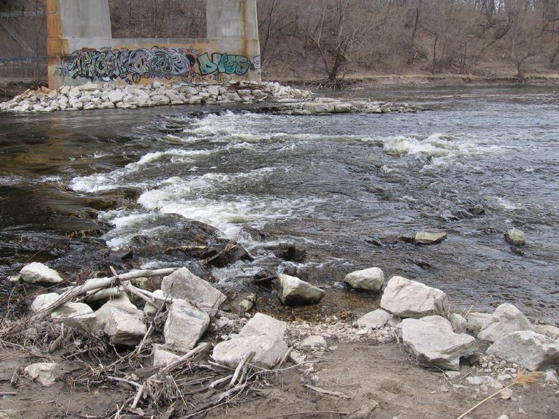
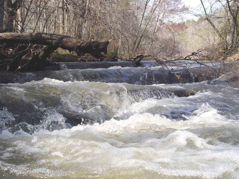
Estabrook Park Dam was removed in 2017/2018. It was not replaced by 'rock-arch rapids' to maintain any pool height and expressly provide whitewater opportunities (as has been done in numerous cases, notably in Iowa). The formerly inundated area between Lincoln Park and Estabrook park has no interesting gradient or geology of interest to whitewater boaters.
The only thing which remains at the site of the dam is a small island and minor rocky shoals. At good flows the shoals are well-covered and no whitewater features exist. At low water, the left side of the island gets shallow/scrapey, and can go totally dry in late-summer/early fall.
Location
Other Rapids on This Run (20)
 Waterfall
N/A
Waterfall
N/A
 Waterfall
II+
Waterfall
II+
 Playspot
II
Playspot
II
 Playspot
I
Playspot
I
 Hazard
II
Hazard
II
 Playspot
II
Playspot
II
 Playspot
II+
Playspot
II+
 Playspot
II
Playspot
II
 Hazard
II
Hazard
II
 Rapid
N/A
Rapid
N/A
Current Conditions
5-Day Forecast
American Whitewater